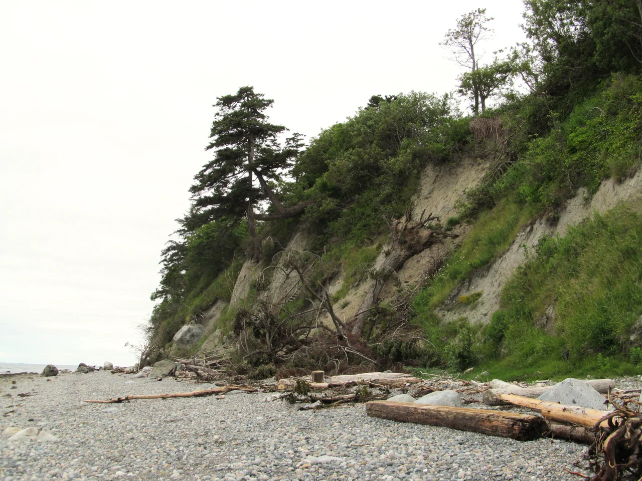

Birch Bay, Washington
Say-wak. In the language of the Lummi, the name means people saved from a flood by building a raft, and it belongs to this particular half-moon of Salish Sea shoreline six miles below the Canadian border. The Semiahmoo called the same water Tsan-wuch. Both names are older than any chart of the place, and both survived the two rounds of renaming that followed. Spanish pilots came first, in 1791, and Jose Maria Narvaez wrote Puerto del Garzon onto his survey. The next summer a Scottish naturalist aboard George Vancouver's expedition looked at the trees crowding the beach, recognized birch among them, and handed the bay the flat, botanical name it still answers to.
How Waves Build a Crescent
The shape of Birch Bay is not an accident of erosion but a piece of physics you can see from the air. Two headlands frame it: Birch Point to the north, Point Whitehorn to the south. Swells arriving from the strait strike those points first and bend around them, refracting inward and shedding energy as they turn. By the time the water reaches the middle of the arc it has almost nothing left to give, so instead of cutting, it deposits. The result is a textbook headland bay, a gentle half-moon with a beach that slopes so softly the tide goes out for what feels like a quarter mile. Behind the sand, Terrell Creek runs parallel to the shore for a stretch before finally turning and emptying into the bay. Later generations added their own geometry to this: groins jutting perpendicular from the beach, riprap piled against the bank, hard edges bolted onto a shoreline that spent millennia learning to be soft.
Anchorage for a Summer
In the spring of 1792, Vancouver's two ships rode at anchor here for several days while boat crews probed the inlets to the north and east. It was an unglamorous errand in an unglamorous harbor, and that is precisely why it mattered. A protected crescent with a shelving bottom and fresh water nearby is the kind of place a survey expedition needs. Archibald Menzies, ship's surgeon and naturalist, spent his shore time doing what he always did, cataloguing what grew. His birches gave the bay its English name, and the Spanish label vanished within a generation. Two empires passed through in as many years, left a word each, and moved on. The people who already lived on this shoreline, and who had a name for it that remembered a flood, were not consulted about either.
What the Ground Remembers
Much of the southern shoreline is now Birch Bay State Park, 225.1 acres established in 1954, holding 7,915 feet of saltwater beach on the bay and some 15,000 feet of freshwater shoreline along Terrell Creek. Campers come for the clamming and the crabbing; a half-mile interpretive trail loops through the marsh behind the dunes, where the creek slows into brackish water and herons stand very still. The park also contains an archaeological site known to Indigenous people as Strav-a-wa, excavated in 1975 and 1976. Among what came out of the ground was a striking quantity of dog remains, material that has since become part of the wider study of Coast Salish life on this coast. It is a reminder, standing on a beach lined with vacation rentals, that the ordinary business of living here has been going on for a very long time.
Ten Thousand People and No City Hall
For most of the twentieth century Birch Bay was a summer place, a strip of cabins and a shallow warm-water beach that drew families from both sides of the line. Then the 2000s arrived, and with them condominium towers and vacation homes marketed to buyers from Seattle and Vancouver who wanted saltwater and a short drive to the border. The population tells the story bluntly: 4,961 in 2000, 8,413 in 2010, 10,115 by 2020, which made this unincorporated community larger than every city in Whatcom County but three. A census-designated place has no mayor, no council, no police department of its own. In 2023, after earlier attempts, residents once again floated the idea of incorporating as a city. The question underneath it is the one every resort town eventually faces: at what point does a place people visit become a place that has to govern itself?
From the Air
Birch Bay lies at 48.9322 N, 122.7470 W on the Salish Sea shoreline of northwestern Whatcom County, Washington. Best viewed from 3,000 to 5,000 feet, where the wave-refracted crescent between Birch Point and Point Whitehorn reads clearly as a half-moon, and the Terrell Creek marsh shows as a dark green seam behind the beach. Useful visual anchors: the Canadian border six miles north, the Point Roberts peninsula hanging off the delta to the northwest, and Interstate 5 running north-south a few miles inland between the Ferndale and Blaine interchanges, connected to the bay by State Route 548. Nearest airports are Bellingham International (KBLI) about 16 nm southeast, Abbotsford International (CYXX) about 17 nm east-northeast across the border, and Vancouver International (CYVR) roughly 24 nm northwest. This is congested international border airspace with Vancouver terminal traffic overhead; check the boundary and clearance requirements carefully. Marine haze and low stratus are common in summer mornings and burn off by midday; winter brings frequent low ceilings off the strait.
Nearby Stories
- Swartz Bay ferry terminal 0.9 km away
- Maillardville 2.1 km away
- Nooksack, Washington 3.5 km away
- Galiano Island 4.5 km away
- Orcas Island 4.8 km away
- Hatzic Valley 8.2 km away
- St. Augustine's Indian Residential School 38 km away
- Everett-Pacific Shipbuilding: The Yard That Built a Floating Navy 79 km away