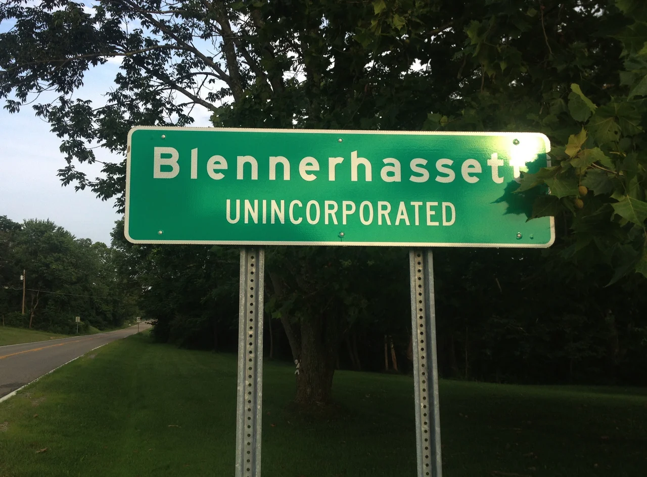

Blennerhassett
The community took the name and the island kept the history. Blennerhassett, West Virginia, is a small census-designated place along the Ohio River south of Parkersburg, settled gradually through the nineteenth and twentieth centuries on the mainland opposite the more famous island. By the 2020 census it had 3,118 residents living across about five square miles of bottomland and low ridges. Almost no visitor comes to the community for itself. They come because the Blennerhassett Island Historical State Park is across the river and the bridge to the mansion's replica passes through the area. The community is, in effect, the modern shoreline of a much older story - a place named for an Irish gentleman who lived briefly on an island that is named for him, who lost everything in a treason trial that he was acquitted of.
Why It's Called This
Communities tend to take their names from prominent local landowners, geographic features, railroad surveyors, or postmasters. Blennerhassett is unusual in that it takes its name from a man who never owned land on the West Virginia mainland and who left the area more than a century before the community took its current shape. Harman Blennerhassett's name attached to the island in 1798 when he purchased it from Elijah Backus. The community on the mainland adopted the island's name some time later, presumably because the island was the area's most famous feature and the new settlement wanted to associate itself with it. The naming sequence is therefore: Lenape island, then Backus's island, then Blennerhassett's island, then Blennerhassett community - four layers of toponymy on the same stretch of river.
Part of the Parkersburg Metro
Blennerhassett today functions as a small suburb in the Parkersburg-Marietta-Vienna Metropolitan Statistical Area - a tri-state corner where Wood County, West Virginia, meets Washington County, Ohio. The population growth came primarily after World War II, as Parkersburg's industrial base attracted workers and the surrounding mainland was developed for residential use. By 2000, the community had 3,225 residents in 1,227 households; the 2020 count was 3,118, suggesting modest population stability or slight decline. The community is mostly residential, with a few small businesses, and tied economically to Parkersburg via WV Route 14 and the broader regional employment market.
Demographics of a River Suburb
The 2000 census numbers tell a story familiar to many Ohio Valley suburbs of the period: median household income around $51,000, family size near three, a population skewing slightly older than the state average, very low poverty rates - only 2.2 percent of the population below the poverty line. The racial composition was overwhelmingly white at 98.45 percent, consistent with most rural and small-suburban West Virginia communities. The relatively high marriage rate among households (72.2 percent) and the low single-person household rate (16.9 percent) suggest a community organized around families with children rather than around college students or single professionals.
Living Across from the Island
From the residential streets of Blennerhassett, the long wooded island sits visible across the wide Ohio River bottomland to the west. The Blennerhassett Island Bridge - U.S. Route 50, opened in 2008 - crosses the river just to the north, with its central tower visible from most of the community. Residents have grown up with the island as the local landmark and the historical state park as the regional tourism draw. Most visitors to the park leave on the sternwheeler from Point Park in Parkersburg, never crossing into Blennerhassett itself. The community lives in the long shadow of a famous incident that happened to a man whose name they share, on an island they can see from their windows but rarely visit.
Flying Over the Floodplain
From the air, Blennerhassett reads as a residential grid pressed against the Ohio River, with the bridge crossing immediately to the north and the long wooded island just upstream. The floodplain here is wide and flat, with the West Virginia bluffs rising to the east of the community. Parkersburg's larger urban grid appears two miles to the north. Across the river, Belpre, Ohio, mirrors the West Virginia community on the other bank. The whole tri-state area is geographically tied together by the Ohio River and its bridges - the Blennerhassett Island Bridge to the south, several others farther north toward Marietta - making the modern Parkersburg metro one of the more interconnected mid-sized river-valley regions in Appalachia.
From the Air
Located at 39.25°N, 81.62°W on the West Virginia bank of the Ohio River, just south of Parkersburg. Blennerhassett Island lies directly across the river to the west; the Blennerhassett Island Bridge (US 50) crosses the river to the north. Nearest airport: Mid-Ohio Valley Regional (KPKB) about 3 nm east. Best viewed from 3,000-4,500 feet AGL, where the community grid, the island, the bridge, and Parkersburg's larger urban area are all visible in one frame.
Nearby Stories
- Buffington Island 4.6 km away
- Moonville 5.3 km away
- State of Kanawha 18 km away
- North Bend Rail Trail 21 km away
- The Y-Bridge of Zanesville 49 km away
- West Virginia Penitentiary 58 km away
- Hillbilly Hot Dogs 58 km away
- Columbus: The Test Market Where America Tries Things First 78 km away