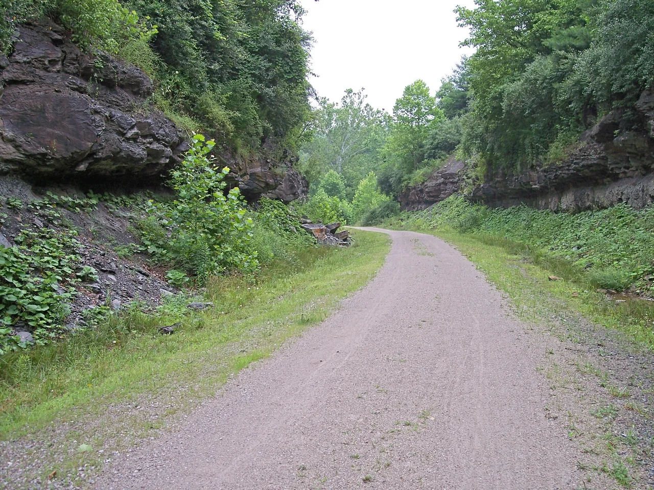

North Bend Rail Trail
CSX wanted $1.5 million for the corridor. West Virginia paid $320,000, took possession of the old Baltimore and Ohio Parkersburg Branch, and over the next several years turned a defunct rail line into seventy-two miles of public trail through some of the most layered country in the state. The North Bend Rail Trail crosses thirty-six bridges, plunges through thirteen tunnels - the longest of them nearly three thousand feet - and parallels U.S. Route 50 across four counties between Wolf Summit, just west of Clarksburg, and the outskirts of Parkersburg on the Ohio River.
From Main Line to Backwater
The rail bed under the trail was once part of a serious railroad. The Baltimore and Ohio's Parkersburg Branch connected the eastern seaboard to the Ohio River and, through it, to the Midwest. For much of the nineteenth century, this was a corridor of national consequence. Decline came slowly. Amtrak's Shenandoah began running through in October 1976 but was discontinued in 1981 for lack of riders; the Capitol Limited was rerouted to a different line between Pittsburgh and Washington, bypassing the West Virginia branch entirely. Local freight had already withered. By 1985 the Chessie System had eliminated local service, and in September 1988 CSX, the new owner, pulled up the rails between Walker and Wilsonburg. A line that had carried American commerce for more than a century lay dormant in a single decade.
A Bargain Corridor
The state's purchase, finalized in stages between 1989 and 1996, was one of the great quiet land deals in West Virginia history. For a fraction of the corridor's original asking price, the Department of Natural Resources acquired a continuous east-west route across the northern part of the state - including its bridges, its tunnels, its right-of-way through town centers and farmsteads. The first sixty miles opened to the public in 1991. The final stretch westward to Parkersburg was added in 1996, extending the trail to its current seventy-two-mile length. Tunnels that engineers had blasted through Appalachian sandstone in the 1850s were left in place. So were the trestles spanning Middle Island Creek and its tributaries. The rails were gone; everything else remained.
Thirteen Tunnels and a Long Dark Mile
The tunnels are the trail's signature. Thirteen of them perforate the ridges of north-central West Virginia, the longest stretching nearly three thousand feet. One of the most traveled is Tunnel No. 2 at 1,086 feet, a short distance east of Salem. Walking into it is to leave summer behind: the temperature drops noticeably, daylight pulls away at both ends, and the only sound is one's own footfall and the slow drip of groundwater through the stone. Some of the tunnels have ghost stories attached - the Silver Run tunnel near Cairo comes with a well-rehearsed local legend involving a woman in white. Cyclists who pass through often carry headlamps just to keep from running into the walls. Above the trail the hills are forested; below it, ferns and moss grow in the cool damp.
Through Small Towns
Between the tunnels, the trail strings together a chain of towns that lost their rail-stop economies decades ago and have made varied accommodations with their second lives. Pennsboro and Ellenboro grew up as glass-manufacturing centers; Cairo was an oil-boom town; Salem and West Union were trading hubs for the surrounding farms. Each has a former depot or yard where trail users can stop for water, food, or a stamp on a passport-style trail card the state hands out. The trail is part of the American Discovery Trail - the coast-to-coast non-motorized route from Delaware to California - and through-hikers using that longer system come through these West Virginia towns at a pace that the towns, in their nineteenth-century prime, would have found embarrassingly slow.
An Appalachian Greenway
Under the state Department of Natural Resources, the North Bend Rail Trail has earned a quiet reputation as one of the finest long-distance trails in the Appalachians. The grade is gentle - what railroads required, walkers and cyclists appreciate. The scenery shifts from open farmland to deep hollow to dense second-growth forest in the space of a few miles. North Bend State Park, midway along the trail in Ritchie County, offers a lodge, cabins, and a connection to a separate network of hiking trails through the surrounding hills. For a state often defined in outsiders' minds by extraction and decline, the rail trail tells a different story: a piece of nineteenth-century infrastructure repurposed without violence, still useful, still moving people through the landscape it was built to cross.
From the Air
The trail runs roughly along 39.28 N latitude, paralleling U.S. Route 50 from approximately 80.4 W (Wolf Summit) to 81.5 W (outskirts of Parkersburg). Best appreciated at 2,500-4,000 feet AGL, where the highway-and-trail corridor traces a clear east-west line through forested hills. Mid-Ohio Valley Regional (KPKB) sits at the western end near Parkersburg; Harrison-Marion Regional (KCKB) lies at the eastern end near Clarksburg. The Silver Run tunnel near Cairo and the cluster of tunnels east of Salem are visually subtle from the air, but the rail bed itself often shows as a faint linear clearing through forest.
Nearby Stories
- West Virginia 2.7 km away
- Fort Boreman 2.9 km away
- State of Kanawha 4 km away
- Harrison County, West Virginia 11 km away
- Sarvis Fork Covered Bridge 13 km away
- West Virginia Penitentiary 48 km away
- The Y-Bridge of Zanesville 58 km away
- The Monongahela: River of Black Gold and Dead Miners 75 km away