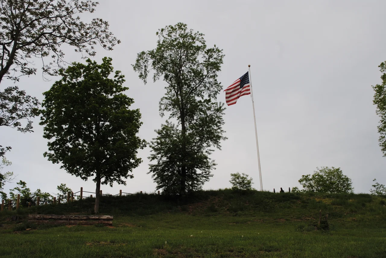

Fort Boreman
The fort never fired a shot in battle. Company A of the 11th West Virginia Volunteer Infantry Regiment dug the zigzag trenches into the hilltop above Parkersburg in 1863, the same year West Virginia became a state, to defend the Baltimore and Ohio Railroad's western terminus and the Ohio River crossing at Parkersburg from Confederate raiders. The railroad was strategically critical - it linked Wheeling and Baltimore and was one of only a few rail lines stitching the Union side of the upper Ohio Valley together - and the fort was placed where it could see and command both the river and the rail yard below. Confederate cavalry threatened the line several times during the war, but never seriously attacked Fort Boreman. The trenches did their job by existing.
Why Here
Parkersburg in 1863 occupied a position of unusual military importance. The Baltimore and Ohio Railroad reached the Ohio River here, and the connection between the line and the river barges represented the principal artery for Union men and supplies moving into central and southern Ohio and farther west. Confederate raids led by figures like John Hunt Morgan and John D. Imboden made the protection of this junction urgent throughout the middle years of the war. The hilltop south of the river crossing offered commanding terrain - high enough to oversee the rail bridge, the river, and the approach roads, with steep enough slopes to make a direct assault difficult. The 11th West Virginia, raised that year from the pro-Union counties of the new state, was assigned to build a defensive position.
Trenches in a Zigzag Pattern
Fort Boreman was an earthwork - no stone walls, no permanent buildings, just trenches and revetments dug into the hilltop. The principal defensive feature was a series of paired trenches, each about four feet deep, arranged in a zigzag pattern around the crown of the hill. The zigzag was deliberate: it eliminated long straight runs that an attacker could rake with fire, and it created angled positions from which defenders could cover each segment with crossfire. This kind of earthwork fortification became standard during the Civil War as the lethality of rifled muskets and artillery made stone walls less protective. Soldiers cut timber for revetments, dug the trenches by hand, and lived in tents or simple wooden huts inside the perimeter.
Arthur Boreman
The fort was named for Arthur I. Boreman, the first governor of West Virginia. Boreman, a lawyer from Tyler County, presided over the constitutional convention that produced the new state and was sworn in as governor on June 20, 1863 - the same day West Virginia entered the Union. Naming the fort after the sitting governor of the state it was built to defend was a political gesture as much as a military one. West Virginia had been created out of the western counties of Virginia precisely because those counties had voted against secession; the fort, named for the new state's executive, was a small civic affirmation of the new political reality. Boreman served three terms as governor, leaving office in 1869.
From Earthwork to Park
After the war the fort was abandoned. The trenches gradually filled with leaf litter and erosion, but the earthwork outlines remained visible because nobody developed the hilltop. By the late twentieth century, the city of Parkersburg had acquired the land and turned it into Fort Boreman Park, with paved overlook areas, interpretive signage, and trails connecting to the surviving trench remnants. The site was added to the National Register of Historic Places in 2003. From the overlook, visitors can see downtown Parkersburg, the confluence of the Little Kanawha and the Ohio, the long line of Blennerhassett Island stretching south, the Ohio shore at Belpre, and on clear days the rolling Allegheny foothills extending to the horizon.
Flying Over the Overlook
From the air, Fort Boreman is a wooded hilltop just south of downtown Parkersburg, with the city's grid spreading north toward the Ohio and the Little Kanawha confluence. The Ohio River bends gently here, with downtown Parkersburg on the south bank, the bridge to Belpre crossing to Ohio, and Blennerhassett Island visible upstream. The fort itself is too small to identify from cruising altitude, but the hilltop's clearing and the park infrastructure show as a small green opening in the canopy. From low altitude, the strategic logic of the fort's placement becomes obvious: this is the highest ground in the immediate area, and from this hill you can see everything that matters about why Parkersburg was worth defending in 1863.
From the Air
Located at 39.26°N, 81.57°W, on a hilltop just south of downtown Parkersburg, West Virginia. The fort site itself is small; use downtown Parkersburg, the Little Kanawha confluence, and the Ohio River bridges as orientation. Nearest airport: Mid-Ohio Valley Regional (KPKB) about 6 nm east. Best viewed from 2,500-4,000 feet AGL, where the hilltop's commanding position over the river and rail crossing is most evident.
Nearby Stories
- Buffington Island 4.6 km away
- Moonville 5.3 km away
- State of Kanawha 18 km away
- North Bend Rail Trail 21 km away
- The Y-Bridge of Zanesville 49 km away
- West Virginia Penitentiary 58 km away
- Hillbilly Hot Dogs 58 km away
- Columbus: The Test Market Where America Tries Things First 78 km away