Briones Regional Park
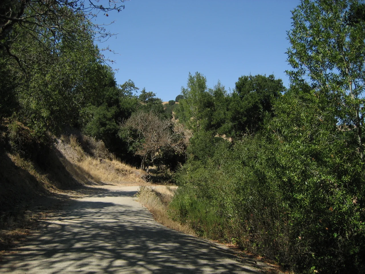
Cattle have grazed these hills since 1842, and they are not leaving anytime soon. Ranchers hold a hundred-year lease on portions of Briones Regional Park that runs until the 2060s, making this one of the few regional parks in California where livestock outnumber hikers on a quiet Tuesday afternoon. The arrangement sounds improbable until you stand on Briones Peak and look out across 6,117 acres of open grassland folding and unfolding toward every compass point. To the east, Mount Diablo anchors the horizon. To the west, the Berkeley Hills roll toward the fog line, and on a clear day Mount Tamalpais rises beyond them. To the north, the Sacramento River glints in the distance. It is the kind of landscape that makes you wonder why anyone would build a fence around it, and the answer is that someone tried - the land just outlasted the fencing.
The Widow's Rancho
The name Briones belongs to a family, not a feature. In 1842, the Mexican government granted Rancho Boca de la Canada del Pinole to the widow of Felipe Briones, and the family turned to cattle ranching across these open hills. They were not the first to work the land, but they gave it the name that stuck. By 1850, Happy Valley Road - running along what would become the park's edge - served as the main thoroughfare from Martinez south to the Pueblo of San Jose and onward to San Francisco. The Briones family sold the rancho in 1870, but the cattle remained, and so did the name. The land changed hands several times before the Peoples' Water Company, a precursor to the East Bay Municipal Utility District, purchased it in 1909 for watershed protection. That utilitarian decision preserved the open character of the hills, keeping developers at bay for decades until the East Bay Regional Park District formally established the park in October 1967.
A Ridge with Two Horizons
Lafayette Ridge runs along the park's southern edge, parallel to the suburban neighborhoods below. From the parking lot at Springhill Elementary School, the Lafayette Ridge Trail climbs roughly two miles to the summit of Russel Peak at 1,357 feet. The trail is popular with mountain bikers who appreciate the periodic elevation changes - gains and descents of up to 200 feet that keep the ride honest without making it punishing. At the top, the trail splits into the Russel Peak Trail and the Briones Crest Trail, offering a choice between looping back or pushing deeper into the park. But the real reward is the view in two directions: suburban Lafayette spread out below like a model railroad layout, and the wild interior of Briones rolling northward in grass-covered waves. Few trails in the Bay Area offer such a sharp boundary between civilization and open country.
Where Vultures Circle and Cougars Stalk
Turkey vultures ride thermals above the ridgelines in lazy, tilting circles. Black-tailed deer browse in the oak-studded valleys, alert to the cougars that patrol the park's more remote corners. Coyotes trot along fire roads at dusk, and red-tailed hawks perch on fence posts, scanning the grass for movement. The wildlife here thrives in part because the landscape has never been tamed into something ornamental. Grazing cattle keep the grasslands open, a practice that inadvertently benefits the raptors and ground-nesting birds that depend on short grass for hunting and nesting. The park functions as a working landscape that happens to be public, a compromise between agriculture and recreation that suits both the ranchers and the animals remarkably well.
Science in the Hills
Tucked within the Briones Hills, the University of California has maintained the Russell Reservation since 1966 - a 283-acre parcel dedicated to ecological research. The reservation operates quietly, its work largely invisible to the hikers passing nearby on the Briones Crest Trail. Researchers study the grassland and oak woodland ecosystems that define the East Bay's inland hills, monitoring changes in vegetation, soil, and wildlife over decades. The reservation predates the park itself by a year, a reminder that these hills attracted scientific attention before they attracted recreational visitors. Together, the park and the reservation preserve a corridor of undeveloped land in a county where suburban growth has consumed nearly every other open hillside. Standing on Briones Peak at 1,483 feet, the highest point in the park, the view tells two stories: the dense urban fabric of the Bay Area pressing in from every direction, and these green, ungrazed-looking hills holding their ground.
From the Air
Briones Regional Park sits at approximately 37.94°N, 122.14°W in central Contra Costa County. From the air, look for the large expanse of treeless, golden-green rolling hills between Martinez to the north and Lafayette/Walnut Creek to the south. Briones Reservoir marks the park's western boundary. Briones Peak (1,483 ft) is the highest point. Nearby airports include Buchanan Field (KCCR) in Concord, roughly 8 miles east, and Oakland International (KOAK) about 18 miles south. Best viewed at 3,000-5,000 feet AGL for the full panorama of grasslands against the surrounding suburban development.
Nearby Stories
- Isleton: The Half-Square-Mile Town That Made Perry Mason Famous 3.4 km away
- Eden Landing Ecological Reserve 5.1 km away
- Where Salt and Fresh Water Negotiate 10 km away
- The Kilns That Never Burned 13 km away
- Altamont Free Concert 17 km away
- Where Tectonic Plates Go for a Swim 18 km away
- Kesterson National Wildlife Refuge 77 km away
- ʻAkaka Falls State Park 3701 km away