.jpg)
Cape May County, New Jersey
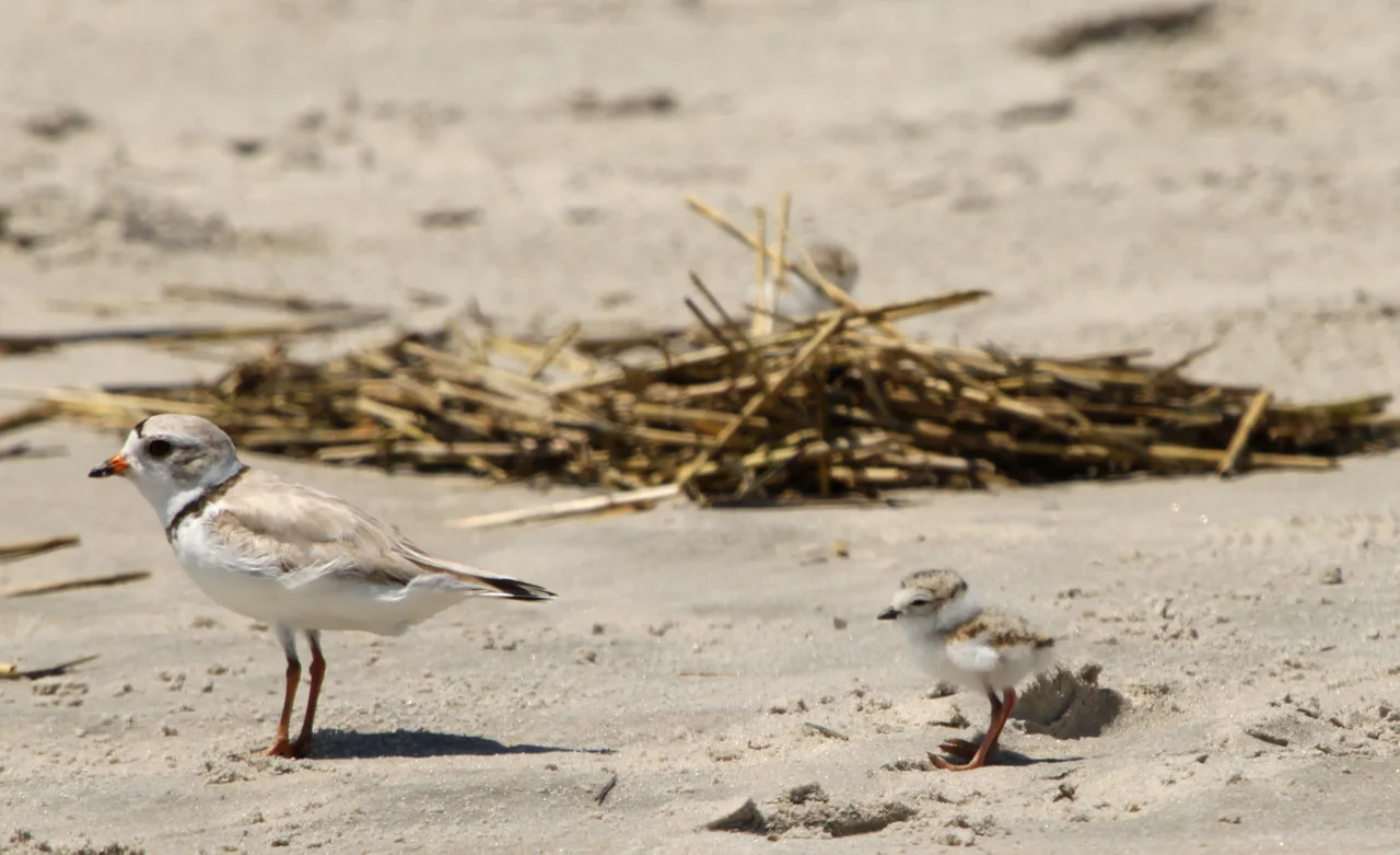
In 1995, observers counted nearly 900,000 migratory birds passing through Avalon - a single town on a barrier island in a county that geography has turned into one of the most concentrated migration funnels on Earth. Cape May County dangles below the rest of New Jersey like a thin finger pointing into the Atlantic. Birds traveling south down the coast in autumn follow that finger, and then they hit the Delaware Bay and have to make a decision: cross or rest. Most rest. In spring, the same logic runs in reverse. The county counts 151 bird species among its regular visitors, plus two species of whales, the loggerhead sea turtle, the northern pine snake, the tiger salamander, and a small population of professional birders armed with telescopes who have come to watch the show.
Storm Country
Core samples taken at Whale Beach on Ludlam Island show evidence of an intense hurricane that struck sometime between 1278 and 1438 - centuries before any written record. The first documented major hurricane to cross the cape came on September 3, 1821, with the eye passing directly over Cape May around 2:00 p.m. local time as an estimated Category 4 storm. The Gale of 1878 followed with 84 mph winds. In 1985, Hurricane Gloria gusted to 101 mph at Ocean City. Hurricane Sandy in 2012 produced an 8.9-foot tide at the Cape May-Lewes Ferry terminal - the highest on record at that point. Three years later, Winter Storm Jonas in January 2016 broke that record at 9.0 feet. The county sits squarely in the path of every Atlantic-coast storm that reaches the mid-latitudes. Ten tornadoes have touched down here since 1950. Living on Cape May County means living with the weather.
The Bird Funnel
More than thirty species of migrating shorebirds use Delaware Bay each spring to refuel for the trip north. Along that bay, between 800,000 and 1.5 million birds pass through each year. The county's combination of salt marsh, open water, fresh-water creeks, oak-pine forest, and tidal mudflat creates a layered habitat that few places match. The Cape May National Wildlife Refuge, established in 1989 from land originally purchased by the Nature Conservancy, anchors the protected acreage on the cape's peninsula. The peninsula itself acts as a geographic concentrator: birds heading south down the Atlantic Flyway funnel into it, hesitate at the Delaware Bay, and stack up at the southern tip until weather and food conditions support the crossing. The result is one of the most reliable bird-watching spots on the East Coast and a quietly enormous economic engine for the county's autumn tourism.
The Lima Bean Capital
West Cape May, a tiny borough just inland from Cape May City, considered itself the lima bean capital of the world well into the late twentieth century. The county's combination of mild winters, moderate humidity, and salt-influenced soil produced an unusually rich lima bean crop, and small farms shipped beans by the truckload to Philadelphia markets. The title was lost in the 1990s, when Guatemala's industrial-scale lima bean production overtook the local crop. West Cape May still hosts its annual Lima Bean Festival every October - an event part agricultural fair, part stubborn act of civic memory. The same general agricultural advantages now power the county's growing wine industry. Six wineries have opened since Cape May Winery & Vineyard pioneered the field in 1995. The Outer Coastal Plain was designated an American Viticultural Area in 2007.
Five Bridges and a Highway
The county's barrier islands - Ocean City, Strathmere/Sea Isle/Avalon/Stone Harbor (which share Ludlam, Seven Mile, and the rest), the Wildwoods, and Cape May - were once accessible only by boat or by long detours over the marshes. Between 1934 and 1946, the Cape May County Bridge Commission issued bonds and built five toll bridges to connect the islands to each other along the modern Ocean Drive route. Before that, getting from Wildwood to Avalon meant going inland to U.S. 9 and back out. The Great Egg Harbor Bridge opened in 1956, connecting the county to the rest of New Jersey via the Garden State Parkway. The Cape May-Lewes Ferry began running in 1964 with five vessels capable of carrying 100 cars and 800 passengers each. These transportation arteries built the modern tourism economy. They also built the traffic jams of any summer Saturday.
Half the County Is Wild
As of 2015, roughly 49% of the land area in Cape May County was preserved open space - parkland, wildlife management areas, state forests, and refuges. Belleplain State Forest, established in 1928, covers more than 21,000 acres of pine, oak, and Atlantic white cedar across the county's northwestern corner. Corson's Inlet State Park preserves one of the last undeveloped stretches of New Jersey coastline. Cape May Point State Park sits on land that once housed a military base damaged by the 1962 Ash Wednesday Storm. The Cape May County Park & Zoo - founded inside Park Central, which began as a forty-acre donation in 1942 - houses 250 animal species and runs free of admission charge. In 1978 the New Jersey Pinelands National Reserve became the first National Reserve in the United States. Cape May is one of seven counties in that 1.1 million-acre protected area. It is a county built on tourism, but a remarkable proportion of its surface area is held back from the tourists.
From the Air
Cape May County occupies the southern peninsula of New Jersey, centered at approximately 39.08 degrees north, 74.86 degrees west. From cruising altitude, the county appears as a narrow peninsula extending southwest into Delaware Bay, with a chain of five barrier islands along its Atlantic shore. Cape May County Airport (KWWD) lies near the southern tip; Woodbine Municipal (KOBI) sits in the northwest. Atlantic City International (KACY) is just over the northern county line at about thirty nautical miles. The Garden State Parkway runs the length of the county on the mainland side. Clear days reveal the entire peninsula, including the Cape May-Lewes Ferry route across the bay mouth.
Nearby Stories
- Atlantic Shores Offshore Wind South 7.9 km away
- Air Mobility Command Museum 19 km away
- Sussex County, Delaware 21 km away
- USS Jacob Jones (DD-130) 30 km away
- USS General G. W. Goethals 32 km away
- Fort Delaware: The Island Prison Where 33,000 Confederates Waited Out the War 38 km away
- The Pine Barrens: Home of America's Oldest Monster 45 km away
- The Burning of the Morro Castle: Murder, Fire, and a Ship That Beached Itself at a Resort 95 km away