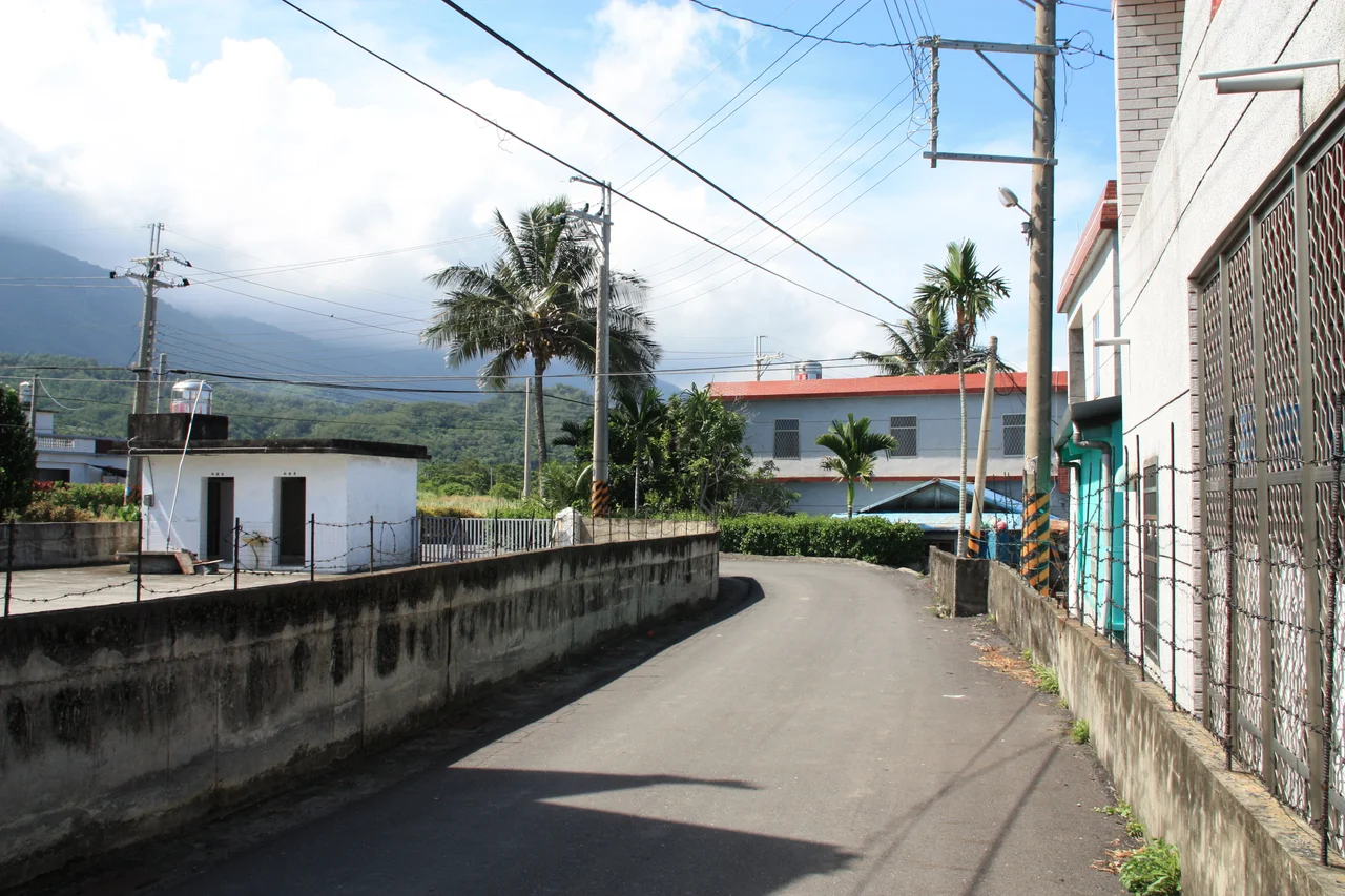

Chenggong, Taitung
The town got its current name as a bureaucratic workaround. After World War II, administrators needed to distinguish this Amis settlement from two other places with similar-sounding names elsewhere on the island. The solution was to rename it Chenggong — the name of the seventeenth-century general Koxinga, Cheng Ch'eng-kung, who expelled the Dutch from Taiwan. It was a grand name for a small coastal town. The town has been growing into it ever since.
Before Koxinga's Name
Long before Japanese colonizers renamed it Shinkō Town, this stretch of Taitung's coast was an Amis settlement known by the Hokkien name Moalaulau. The Amis people are still the majority community in Chenggong, making up 53 percent of the township's roughly 13,193 inhabitants. Their presence here predates every colonial chapter — Chinese, Dutch, Japanese — in the recorded history of Taiwan's east coast. The administrative name changed with each new authority: Pi-lam Subprefecture under Qing rule, Shinkō under the Japanese, and finally Chenggong after 1945. The Amis community persisted through all of it, and the township's Amis Folk Center today serves as a cultural anchor, connecting contemporary residents to the ceremonial and artistic traditions that survived the colonial period. To visit Chenggong is to encounter a place whose official name is about a seventeenth-century Chinese general, but whose living culture is something much older.
The Marlin Capital of the East Coast
Chenggong Fish Harbor sits just west of downtown, and the fishing culture it supports is the economic and emotional center of the township. The deep-water marlin — specifically the striped marlin and the blue marlin — has been central to Chenggong's fishing identity since the Japanese colonial era introduced harpooning as a technique. The fishermen who work this coast are pursuing genuinely large fish in genuinely open ocean: the continental shelf drops sharply east of Taiwan, and the Kuroshio Current sweeps north along the coast, carrying warm, deep-blue water and the pelagic fish that travel with it. An annual Billfish Festival in November brings a harpooning tournament and draws attention to a tradition that most of Taiwan knows exists but few outsiders have witnessed. The town even has a Marlin God statue. This is a place where the sea is not backdrop but occupation.
A Soldier Who Refused to Stop
Chenggong's most unusual historical figure is Teruo Nakamura, born here in 1919 under his Amis name Attun Palalin. Conscripted into the Imperial Japanese Army during World War II, he was stationed in what is now Indonesia, and when the war ended in 1945, he either did not receive or did not believe the news of Japan's surrender. He continued living in the jungle, carrying out what he understood to be his military duty, until he was located and brought home in 1974 — nearly thirty years after the armistice. He died in 1979. Nakamura was an Amis man from Taitung County who spent three decades in a jungle in Indonesia because the war his colonial rulers had conscripted him to fight simply did not end for him when it ended for everyone else. His story sits at the intersection of colonialism, military service, and an extraordinary human stubbornness that resists easy interpretation.
The Eastern Shore at Your Feet
The territory around Chenggong is dense with reasons to stop. Sanxiantai, the coastal islet reached by the eight-arched footbridge shaped like a sea dragon, lies within the township's boundaries — arguably the most photographed landmark on Taiwan's east coast. The East Coast National Scenic Area encompasses the broader coastline. Jiaping Beach, the Stone Umbrella rock formation at Shihyusan, the Old Donghe Bridge to the south, Chong-an Waterfall, and the Marine Biology aquarium all sit within reach. The landscape is tropical rainforest climate: lush, humid, vivid green against the Pacific's deep blue. Provincial Highway 11 stitches it all together, one of Taiwan's great coastal drives — the kind of road where the sea appears and disappears around headlands, and every viewpoint offers something worth stopping for.
From the Air
Chenggong Township centers on approximately 23.117°N, 121.350°E on Taiwan's Pacific coast. At 3,000–5,000 feet, the township is clearly visible as an urban cluster on the coastal plain, with Chenggong Fish Harbor identifiable as a break in the coastline just west of the town center. Sanxiantai island is visible a few kilometers to the north, connected to the coast by the distinctive curve of the footbridge. The Coastal Range rises sharply inland, limiting the coastal flat to a narrow strip. Nearest airport is Taitung Airport (RCFN), approximately 28 kilometers to the southwest. The Kuroshio Current's deep blue water is often visible offshore in clear conditions — a vivid contrast to the reef-influenced shallows near the harbor.
Nearby Stories
- Baxian Caves 2.3 km away
- Lulin Observatory 12 km away
- Lüdao Lighthouse 20 km away
- Baolai Spring Park 24 km away
- Kucapungane 26 km away
- Twin Forts of Romblon 1143 km away
- Sibuyan Island 1191 km away
- Sinking of MV Sewol 1265 km away