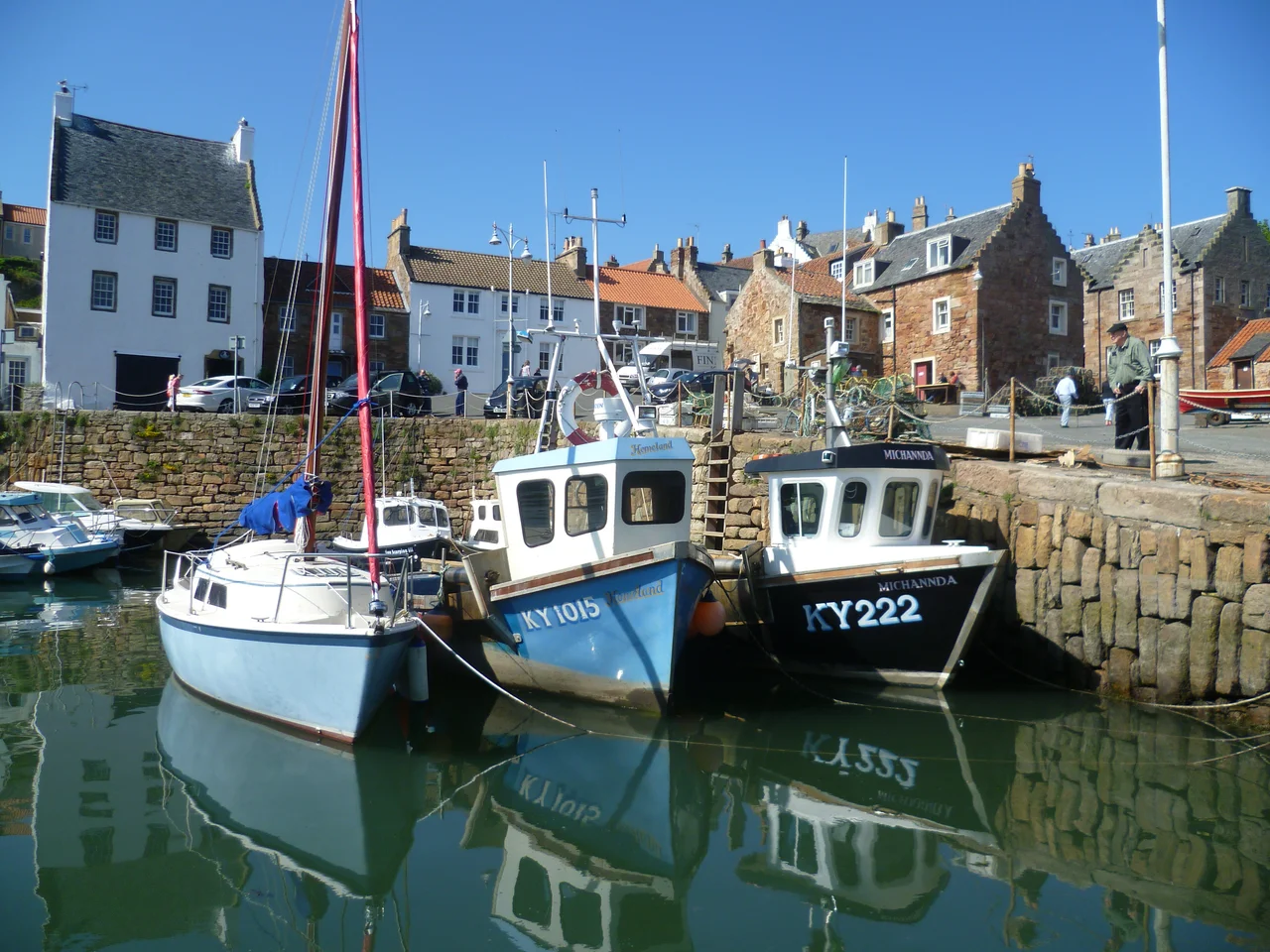

Crail
The weathervane is a haddock. Not a cockerel, not a saint, not a Scottish lion, but a smoked fish, locally known as a Crail Capon. It turns on top of the tolbooth tower, built around 1600, with a roof more Dutch than Scottish because in the 17th century Crail looked east across the North Sea to its trading partners in Holland and not west to Edinburgh. The fish makes the point precisely. This was a sea town first and a Scottish town second, and the herring and haddock kept it rich long before anyone thought to write a guidebook.
Cair, the Fort
The name shows up in 1148 as Cherel and in 1153 as Karel. The first syllable is Pictish, cair, meaning fort, the same word as the Welsh caer. Before the Vikings, before the Scots, before the East Neuk got its modern character, somebody on this rocky headland built defensive works that gave the place its name. The 13th-century parish church was dedicated to St Maelrubha of Applecross, an Irish-Celtic missionary saint whose cult had spread to Wester Ross by the 8th century and whose name reached Crail through patterns of monastic exchange that no modern guidebook explains. David I of Scotland used Crail Castle as an occasional residence in the 12th century. Robert the Bruce later granted the town the right to hold its markets on a Sunday, which says something about how essential trade had become here: even the Sabbath did not interrupt it.
The Marketgate and the Mercat Cross
The marketplace is huge for the size of the town, an open space that runs the length of the Marketgate and once held trading stalls, livestock pens, and the bargaining of fishermen, farmers, and Dutch merchants. The Mercat cross stands in the centre, the symbol of the burgh's right to trade. The tolbooth, where taxes were collected and minor justice administered, anchors one end. The other end is now a car park, but the space still feels like what it was: the commercial heart of one of the oldest royal burghs in Scotland, a status Crail has held continuously since at least the 12th century. The Golf Hotel on High Street is Category A listed and dates to the 18th century or earlier; its long history makes it one of the older inns in the country.
Joan Clarke's Quiet Shore
Among Crail's notable residents was Joan Clarke, the cryptanalyst who worked at Bletchley Park during the Second World War and was briefly engaged to Alan Turing. Clarke broke German naval Enigma codes; her work helped end the Battle of the Atlantic. She lived from 1917 to 1996, and Crail was among the places she knew. Her presence here is a reminder that some of the 20th century's most consequential people retreated, when they could, to small Scottish coastal towns where nobody asked them what they did for a living. Other Crail names include the composer James Oswald (1710-1769), the novelist Oswald Wynd, and King Creosote, the singer-songwriter Kenny Anderson who has made his career out of writing about Fife. James Sharp, who became the Archbishop of St Andrews and was assassinated in 1679, was born here too.
The Carboniferous Beach
On the beach next to the harbour, embedded in the rock, are fossilized trees. They are horsetail relatives, called Calamites, that grew in the swamps of the Carboniferous period some 320 million years ago, when Fife sat near the equator and was covered by tropical wetland forests. The fossils are easy to miss, dark striated patterns in pale stone, and easy to walk past if you do not know what you are seeing. Once you do, the beach becomes a calendar in deep time. The Crail Golfing Society, founded in 1786, is the seventh-oldest golf club in the world, and their Balcomie course was formally laid out by Old Tom Morris in 1894 over ground where Crail people had been chasing a ball for at least four decades before that. The harbour walls feature an unusual vertical coursing of stones that engineers still discuss. The eastern pier was new in 1610 and ruinous by 1707, then rebuilt, in the eternal pattern of small harbours that the North Sea both feeds and slowly devours.
From the Air
Located at 56.26 N, 2.63 W, on the southeast tip of the East Neuk of Fife, facing the Firth of Forth and the Isle of May. The nearest controlled airport is Dundee (EGPN), about 18 miles northwest. RAF Leuchars (now Leuchars Station, EGQL, military) lies about 12 miles north near St Andrews. Edinburgh (EGPH) is roughly 40 miles southwest. Best viewed from 2,500 feet AGL along the coast; the tolbooth tower and the unusual harbour walls are the most distinctive features. The Carboniferous fossil beach lies immediately east of the harbour.
Nearby Stories
- Tantallon Castle 2.2 km away
- Battle of Kinghorn 4 km away
- Lindores Abbey 4.1 km away
- Battle of Dun Nechtain 11 km away
- Eyemouth Disaster 20 km away
- Edradour Distillery 35 km away
- Eyemouth Lifeboat Station 52 km away
- River Dee Ferryboat Disaster 60 km away