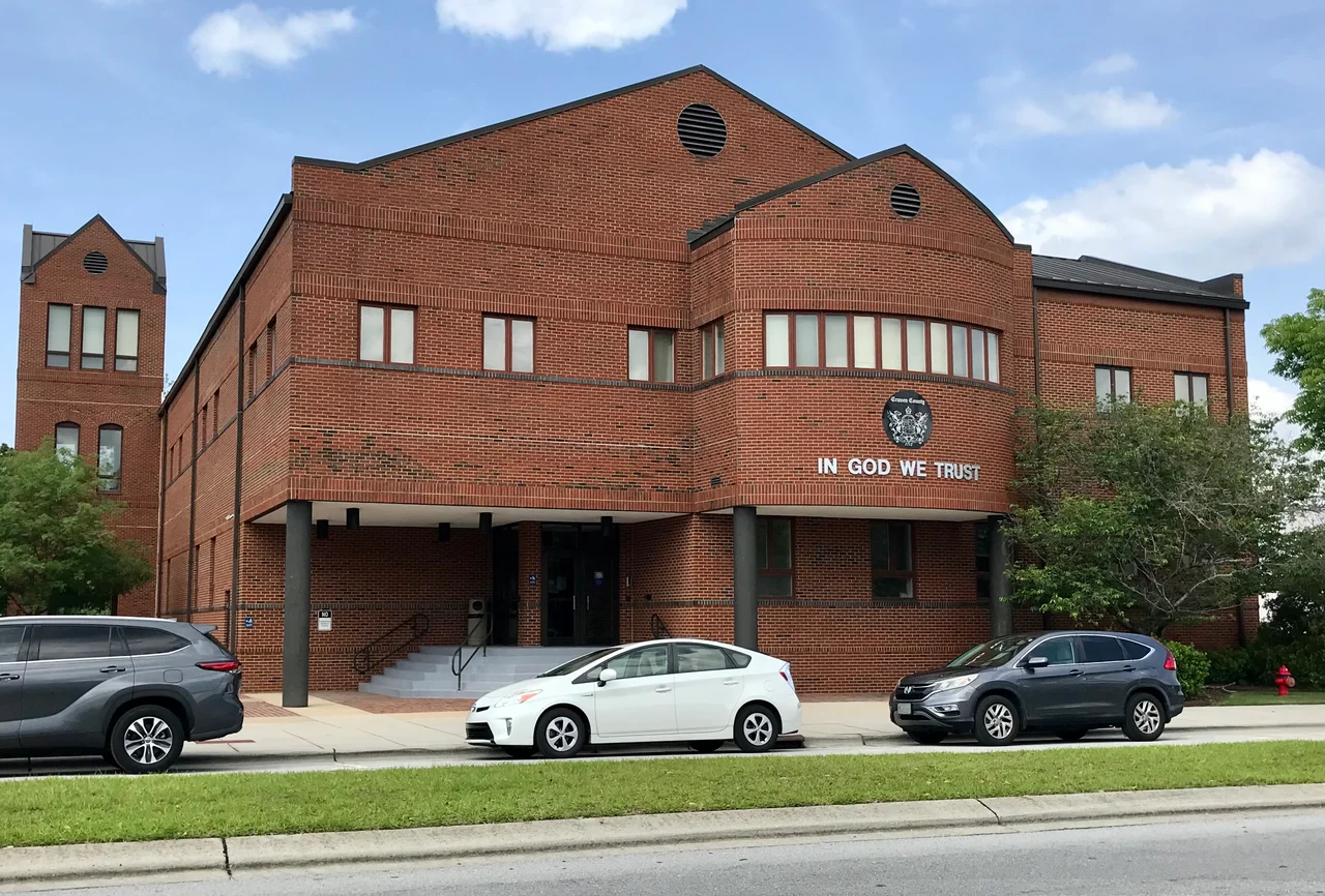

Craven County, North Carolina
Craven County is what happens when two big rivers meet, and then keep meeting other rivers. The Neuse and the Trent join here, the Neuse keeps widening into a saltwater sound, and the county catches all of it - waterfront mansions on the south bank, marines training at Cherry Point, working watermen pulling crabs from Pamlico Sound, and a hundred thousand people spread between two cities, six towns, and a constellation of unincorporated places with names like Adams Creek and Harlowe. It is colonial North Carolina at its most legible, and modern North Carolina at its most varied.
Two Cities, One County
New Bern is the county seat and the county's center of gravity - North Carolina's second-oldest town and its first colonial capital, founded in 1710 by Swiss and Palatine settlers under Christoph de Graffenried. Havelock is the other city, sitting on the southern end of the county at the gates of Marine Corps Air Station Cherry Point. The two communities tell different parts of the Craven County story: New Bern is colonial, antebellum, Victorian, and tourist-driven, while Havelock is post-1941, military-shaped, and economically tied to the air station that the federal government carved out of the longleaf pine forests during World War II. As of the 2020 census, the county held 100,720 people, with 65 percent in urban areas and 35 percent in rural ones.
The 1739 Boundary
Craven's territory was first organized as Archdale Precinct in 1705, renamed Craven Precinct in 1712, and reorganized as a county in 1739, taking its name from William, Earl of Craven, one of the original eight Lords Proprietors of Carolina. Its modern boundaries enclose roughly 770 square miles of low-lying coastal plain, sliced by the Neuse, Trent, Bachelor's Creek, Slocum Creek, and a tangle of smaller waterways that drain into Pamlico Sound. The North Carolina Constitution of 1868 required the county to be divided into townships, and Craven still carries eight numbered townships - Township 1 through 9, with Township 4 quietly skipped - that survive as administrative artifacts more than living neighborhoods.
Marines, Pepsi, and Working Waterfronts
Cherry Point - properly, Marine Corps Air Station Cherry Point - dominates the southern county. Its Fleet Readiness Center East is the largest industrial employer east of Interstate 95 in North Carolina, with an annual payroll of $277 million, repairing and overhauling Marine aircraft. North of the air station, the New Bern waterfront produced a different sort of national export: in 1898, the pharmacist Caleb Bradham invented Pepsi-Cola in his drugstore at Pollock and Middle streets. The drink's name traveled around the world. The drugstore building stands today as the Birthplace of Pepsi-Cola, a tourist stop one block from the Neuse River. Between the air station and the soda fountain, the county's working watermen still harvest blue crabs, oysters, and shrimp from the brackish creeks - an older economy that long predates both Pepsi and Cherry Point.
A Political Map That Switched
Craven County's modern politics tell a familiar Southern story. Solidly Democratic from the post-Reconstruction era through the mid-twentieth century, the county shifted Republican after the national Democratic Party embraced civil rights legislation in the 1960s. The last Democratic presidential candidate to carry Craven was Jimmy Carter in 1976, and the county has voted Republican in every presidential election since. As of March 2022, the county's 70,286 registered voters split into 26,225 Republicans, 23,393 unaffiliated, and 20,135 Democrats - a portrait of a politically conservative coastal county with an increasingly independent middle. The shift mirrors the broader pattern across what was once the Solid South, with all the historical weight that phrase carries.
What You See from the Air
From altitude, Craven County reads as a wedge of green and water. The Neuse River runs broad and pale through the middle, the Trent joins it at New Bern in a clear Y, and the marshes of the lower county fade into the Pamlico Sound on the eastern horizon. Coastal Carolina Regional Airport (KEWN) sits on the south bank of the Trent, just outside New Bern. Cherry Point's military runways are unmistakable to the south. Between them lie the county's working landscapes - corn, soybeans, tobacco, pine plantations, hog farms, and the occasional Federal-style farmhouse with a tin roof, sitting back from a state road as it has for two centuries.
From the Air
Craven County centered near 35.11 N, 77.07 W in eastern North Carolina's coastal plain. The Neuse River broadens here into a saltwater estuary; the Trent joins it at New Bern. Best viewed from 3,000 to 6,000 feet AGL. Primary airport: Coastal Carolina Regional (KEWN) just south of New Bern. Also: Cherry Point MCAS (KNKT) in the south county, KMRH (Beaufort) 25 nm SE, KISO (Kinston) 30 nm WNW. The county's outline is roughly bounded by the Neuse River to the north, Pamlico Sound to the east, and pine forests on the west and south.
Nearby Stories
- Swansboro 13 km away
- Harkers Island, North Carolina 15 km away
- Beulaville, North Carolina 18 km away
- 1961 Goldsboro B-52 Crash 23 km away
- Battle of Washington 26 km away
- Pender County, North Carolina 37 km away
- Crystal Coast 43 km away
- Lake Mattamuskeet 45 km away