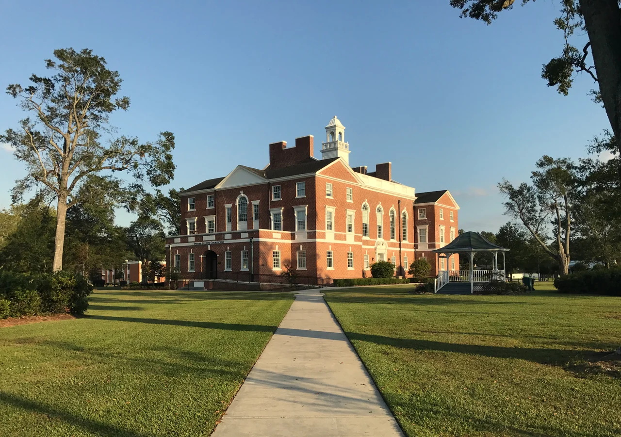

Pender County, North Carolina
The county was born of a Civil War death. In 1875, ten years after Appomattox, the North Carolina General Assembly split the northern half of New Hanover County off into a new county of its own. They named it for William Dorsey Pender, a 29-year-old Confederate major general from Edgecombe County who had been mortally wounded by Union artillery on the second day of Gettysburg, July 2, 1863. He bled to death in a Virginia hospital sixteen days later. Pender County stretches today from the dunes of Topsail Beach across the Intracoastal Waterway, through the longleaf pine flats and the Holly Shelter Game Land, and inland to the dark swampwater of the Northeast Cape Fear River - 870 square miles in all, fifth-largest county in the state.
Moores Creek
The most consequential moment in Pender County history happened ninety-nine years before the county itself existed. On February 27, 1776, at a single-lane bridge over Moores Creek, a Patriot militia of about a thousand men confronted approximately sixteen hundred Loyalist Highlanders marching toward Wilmington. The Loyalists, many of them Scottish Highlanders who had emigrated after the failed Jacobite rising of 1745, planned to link up with British troops at the coast. The Patriots had removed planks from the bridge and greased the support timbers with soft soap and tallow. When the Highlanders charged across to the war cry King George and broadswords they slipped, fell, and were cut down by musket fire. The battle was over in three minutes. It was the first decisive Patriot victory of the Revolutionary War. The bridge is now Moores Creek National Battlefield, the only national park unit in Pender County, and one of fewer than fifty Revolutionary War sites in the National Park System.
Burgaw and Hampstead
The county seat is Burgaw, a town of around four thousand people built around the old Atlantic Coast Line Railroad depot - now a museum. The actual demographic center of gravity, though, sits about twenty miles southeast in Hampstead, an unincorporated census-designated place on US 17 that has grown enormously as Wilmington's metropolitan area has pushed north. In 2010 Hampstead had about six thousand residents; by 2020 it was approaching nine thousand. Pender County as a whole grew from 28,855 people in 1990 to 60,203 in 2020 - more than doubling in three decades. The 2023 estimate had already risen to 68,521. The roads have struggled to keep up. US 17 through Hampstead is famously congested, which is one reason the long-promised Hampstead Bypass remains a perennial topic of county politics.
Coast to Swamp
Pender's geography runs the full range of southeastern North Carolina. The eastern edge meets the Atlantic at Topsail Beach and Surf City; the long sandy barrier island runs north into Onslow County. Just inland, the marshlands and tidal creeks of the Intracoastal Waterway form a navigable highway used by recreational boats running between Florida and the Chesapeake. Further west the land rises into longleaf pine flats - what southeastern naturalists call pine savanna - one of the most biodiverse non-tropical ecosystems on earth, home to red-cockaded woodpeckers, Venus flytraps that grow nowhere else, and a half-dozen species of pitcher plants. The Holly Shelter Game Land covers more than sixty thousand acres of this country, a state-managed mosaic of pine, bottomland hardwood, and pocosin bog where black bears outnumber developers, for the moment.
The Black River and Its Ancient Trees
Along the county's western edge, the Black River drains through cypress-tupelo swamps that look essentially as they did when Verrazzano first sailed past in 1524. Researchers have core-dated bald cypresses along the Black at more than 2,600 years old - the oldest documented trees of their species and among the oldest living organisms in eastern North America. The river, named for the tannin-darkened water that makes it look like steeped tea, drops through Bladen County into Pender on its way to the Cape Fear. Canoeing the upper Black is one of the great paddle trips in the eastern United States. In the lower reaches near Atkinson and Currie, the channel widens into great cypress sloughs where Spanish moss hangs from the lower branches and the silence is broken mostly by the occasional pileated woodpecker.
The Ashes
Three notable men in early American politics all came from a single farming family in Rocky Point Township, on the Pender side of what was once New Hanover. The elder John Baptista Ashe was a Patriot officer in the Revolution and a delegate to the Continental Congress. His nephew, also named John Baptista Ashe, served as a U.S. congressman from North Carolina in the 1820s. William Shepperd Ashe, another nephew, served in Congress in the 1840s and 1850s and as president of the Wilmington and Weldon Railroad. The Rocky Point plantation lands are now mostly subdivisions and shopping centers along US 17, but the older cemeteries with their Ashe headstones are still there if you know where to look, set back from the road on land the family farmed for nearly two centuries.
From the Air
Pender County is centered near 34.51N, 77.89W, between New Hanover County to the south and Onslow County to the northeast. The coast at Topsail Beach forms the eastern edge; the Black River drains the western. Wilmington International Airport (KILM) lies just across the southern county line; Albert J. Ellis (KOAJ) is about thirty miles northeast in Onslow County. Holly Shelter Game Land covers a large portion of the central county - sixty thousand acres of pine flatwoods and pocosin clearly visible from the air. Year-round visibility is generally good; thunderstorms are common in summer; tropical systems are the main coastal hazard.
Nearby Stories
- University of North Carolina Wilmington 5.7 km away
- Marine Corps Base Camp Lejeune 5.8 km away
- Beulaville, North Carolina 16 km away
- Bryan-Bell Farm 23 km away
- Columbus County, North Carolina 25 km away
- Lake Waccamaw, North Carolina 27 km away
- Cumberland County, North Carolina 48 km away
- HMT Bedfordshire 62 km away