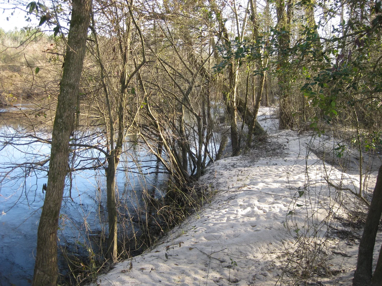

Beulaville, North Carolina
When the wrecking crew came for the old soda shop downtown to make way for a McDonald's, they found a working moonshine still in the basement, plus several barrels of the finished product. Nobody in Beulaville, North Carolina, was particularly surprised. The town had been founded in 1873 as a trading hub for turpentine farmers and loggers, and from the start it had a reputation. Its original name was Snatchet. The nickname locals preferred was Tearshirt. You can guess what kind of evenings produced that one.
Before the Crossroads
Long before any European set foot on this stretch of the coastal plain, Native people moved through these forests on hunting trails. The Joara, descendants of the Mississippian culture, had a chiefdom that reached this area as early as 1000 AD. By the time English and Welsh settlers began arriving in the early 1700s, the Tuscarora dominated the region, having absorbed or displaced smaller tribes like the Coree, Coharie, and Neusiok. Four large Tuscarora burial mounds still stand within ten miles of Beulaville, the two largest near Hallsville and Sarecta. Combined, they hold roughly one hundred bodies. The Tuscarora War of 1711 to 1715 ended with the burning of Fort Neoheroka and the exodus of most of the surviving tribe north to New York, where they became the sixth nation of the Iroquois Confederacy. Their hunting grounds passed to newcomers.
Snatchet to Beulaville
In 1736 a wealthy Londoner named Henry McCulloh got a 71,160-acre grant from the Crown and brought in several hundred Ulster Scots and a few Swiss Protestants to settle it. They built Sarecta on the Northeast Cape Fear River and another settlement at the lower end of Goshen Swamp. By the mid-1800s their descendants had drifted toward a crossroads that would eventually be called Beulaville. The town that took shape there was rough. Loggers cutting longleaf pine, turpentine workers tapping the same trees for naval stores, farmers raising hogs and corn. Corn liquor stayed a steady source of family income well into the twentieth century. In 1910 the post office officially renamed itself from Snatchet to Beulaville, after the Beulah Baptist Church. The town was incorporated in 1915, the last Duplin County town to take that step.
Rails, Tobacco, and Hogs
Around 1900 the Kinston Carolina Railroad and Lumber Company laid track from Kinston to Pink Hill. The residents of Limestone Creek Township raised $15,000 to lobby for an extension through Beulaville to Chinquapin, and the Duplin County Railroad opened in 1916. The rails ran along what is still called Railroad Street. They have been torn up since. The economy moved from naval stores to tobacco, and when federal tobacco buyouts collapsed the small-grower model, Beulaville pivoted to hogs. Duplin County now has the second-highest hog-to-human ratio in the United States. Viticulture has crept in over the last decade. Camp Lejeune sits 35 miles to the southeast, and the traffic on NC 24 heading to Interstate 40 is partly Marines and their families coming and going.
The Panthers of East Duplin
On 6 November 1945, the main building of Beulaville High School burned to the ground. Only the John Hargett Gymnasium and the auditorium survived. School continued in the gym and a teacherage next door until 1947, when the elementary building was rebuilt and a new high school rose alongside it. East Duplin High School opened in 1963, consolidating Beulaville, B.F. Grady, and Chinquapin into one school. The mascot for both East Duplin and its feeder schools is the panther, named for the eastern cougar that once prowled the swamps and pine forests of this region. The cougar is gone now, vanished from the eastern United States sometime in the twentieth century. The name stayed. The town's most famous son is Charles W. Albertson, the Democrat who served in the North Carolina General Assembly from 1989 to 2010 and earned the nickname The Singing Senator for actually being able to sing.
Flight Context
Beulaville sits at 34.92 degrees north, 77.77 degrees west, on the coastal plain of Duplin County, about 85 feet above sea level. View from 1,500 to 2,500 feet AGL to see Limestone Creek running along the western edge of town and the broader patchwork of fields and pine. Nearest airports: Albert J. Ellis (KOAJ) about 25 nautical miles southeast, Duplin County Airport about 15 miles west. Humid summer afternoons often bring scattered thunderstorms across the plain.
From the Air
Beulaville at 34.92 degrees north, 77.77 degrees west. Elevation about 85 feet. View from 1,500 to 2,500 feet AGL. Nearest airports: KOAJ (Albert J. Ellis) about 25 nm southeast, Duplin County Airport about 15 nm west. Watch for summer thunderstorms.
Nearby Stories
- Marine Corps Base Camp Lejeune 4 km away
- Pender County, North Carolina 13 km away
- Bryan-Bell Farm 14 km away
- La Grange Historic District (North Carolina) 18 km away
- Battle of Averasborough 28 km away
- Lake Waccamaw, North Carolina 36 km away
- Cumberland County, North Carolina 43 km away
- Tar River 50 km away