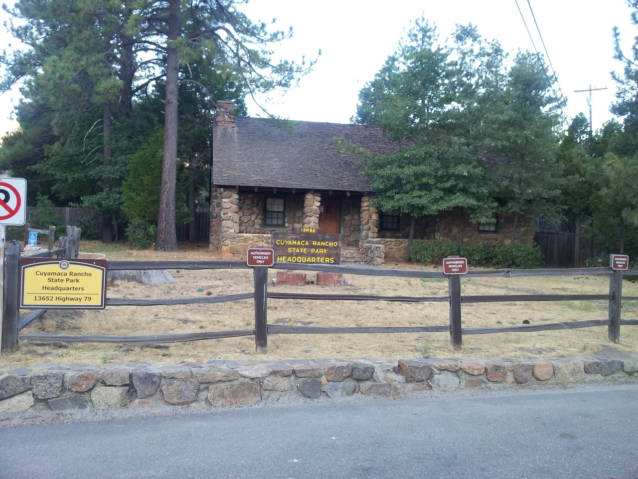
Cuyamaca Rancho State Park
The Kumeyaay name translates as "the place where it rains," and the name earned its permanence. Cuyamaca Rancho State Park's high meadows and oak-forested ridges in eastern San Diego County gather precipitation that the surrounding lowlands can only wish for, creating a sky island of biological richness above the surrounding chaparral and desert. People recognized this quality early: the evidence of human occupation in the park's 26,000 acres stretches back 7,000 years, an unbroken thread of habitation through drought, abundance, invasion, mining boom, and wildfire.
Seven Thousand Years of Occupation
Archaeological evidence confirms that Kumeyaay people inhabited the Cuyamaca highlands for at least 7,000 years. This was not casual passage but sustained residence — communities that knew the location of every spring, every acorn-producing grove, every seasonal hunting ground in the park's terrain. The Kumeyaay maintained cultural and trade connections to other groups across the region, using the mountains as both homeland and highway between coast and desert. Their relationship with this landscape was intimate and specific in ways that took generations to accumulate and systematic disruption to begin to erase.
The Stonewall Mine and Cuyamaca City
Gold was discovered at the Stonewall Mine in 1870, and for a brief period the Cuyamaca Mountains experienced the specific chaos of a California mining boom. Cuyamaca City rose near the mine — a boomtown of the type that materialized wherever gold appeared and dissolved when it played out or moved on. The Stonewall Mine proved substantial enough to sustain operations for years, producing ore that was processed on-site. The visible remnants of this era — mine structures, the marks of hydraulic operations, the ghost of the town itself — make Cuyamaca one of the few state parks in Southern California where mining history is part of the interpretive story.
Mountain Lions and Changing Management
The park's wildlife history includes a notable chapter involving mountain lions. Between 1988 and 1994, a series of mountain lion incidents — including attacks on humans — prompted management interventions that shaped how California handled predator encounters statewide. The specifics of these events, and the policy debates they triggered, influenced the development of mountain lion encounter guidelines that remain in use today. The Cuyamacas have historically supported cougar populations given the deer herds and terrain, and the incidents of that period marked a transition in how both park managers and visitors understood predator-prey dynamics in Southern California's mountain parks.
The Cedar Fire and Its Aftermath
The 2003 Cedar Fire closed Cuyamaca Rancho State Park and burned through most of its forested areas with devastating efficiency. The park that reopened was fundamentally different from the one that had closed: the mature mixed-conifer forest that had characterized its higher elevations was largely gone, replaced by the characteristic post-fire landscape of chaparral recovery and standing snags. The closure gave way to a long, uneven process of ecological recovery and infrastructure repair. The fire also demonstrated how completely a single extreme event can reset a landscape that took centuries to develop.
A Park in Recovery
Two decades after the Cedar Fire, Cuyamaca Rancho State Park carries its recovery as an ongoing condition rather than a completed project. The chaparral has returned vigorously; the oak woodland has recovered more slowly; the conifers are represented now by young trees that will need decades more to recreate the canopy that burned. The park's 26,000 acres support hiking, equestrian use, and camping in a landscape where the ecology of recovery is itself part of what visitors come to witness. Stonewall Peak's distinctive quartzite dome remains, the mining-era ruins persist, and the springs that made this place habitable for 7,000 years still flow.
From the Air
Cuyamaca Rancho State Park sits at approximately 32.93°N, 116.57°W in eastern San Diego County, with Cuyamaca Peak (6,512 ft) as its high point. The park's extent — 26,000 acres — makes it a substantial feature visible from cruising altitude. Interstate 8 passes to the south of the park. Gillespie Field (KSEE) and El Cajon provide the nearest airport facilities. From the air, the park's meadows and recovering forest stand in contrast to the denser chaparral of lower elevations.
Nearby Stories
- Fish Creek Mountains Wilderness 1.7 km away
- Black Mountain Open Space Park 5 km away
- La Jolla Complex 7.6 km away
- Naval Amphibious Base Coronado 8.2 km away
- Temecula Massacre 8.6 km away
- Salton City: The Beach Resort That Became a Wasteland 10 km away
- Mountain Warfare Training Camp Michael Monsoor 10 km away
- Antique Gas and Steam Engine Museum 17 km away