
Despotiko
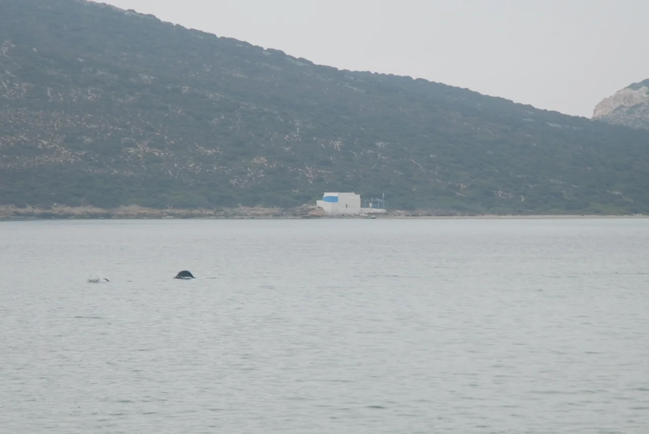
Nobody lives on Despotiko. The islet is small and dry, barely 700 metres from the southern shore of Antiparos, reachable only by small boat. Mediterranean seals swim in its shallow waters. Posidonia seagrass covers its sea floor. The land above holds phrygana — the low, thorny scrub typical of the central Cyclades — and not much else visible at first. But since 1997, archaeologists digging in the northwest of the island have been pulling back the surface of something remarkable: a sanctuary of Apollo that was, in its time, one of the most important religious sites in the Aegean.
An Island That Was Once a Peninsula
The strait between Despotiko and Antiparos is barely a metre deep at its shallowest. Submerged walls, a well-head, and an oven have been found on the sea floor off Agios Georgios on Antiparos, at depths consistent with a sea level that was at least a metre lower in Hellenistic times and three metres lower in the Early Bronze Age. The evidence suggests that Despotiko was not always an island — that it was connected to Antiparos by a strip of land, forming a peninsula, until rising sea levels eventually submerged the link.
Early Bronze Age cist graves have been found on the submerged sea floor of Despotiko Bay, down to three metres of depth. Hellenistic-era viticulture trenches on Antiparos have near-identical counterparts on Despotiko. The island's ancient name, Prepesinthos or Prepesinthus, suggests it was known and named long before the sea separated it from its neighbour. An inscription found at the sanctuary reads ΕΣΤΙΑΣ ΙΣΘΜΙΑΣ — 'for Hestia of the Isthmus' — which may be a memory of the time when an isthmus connected these two land masses.
Apollo's House on the Rocks
The sanctuary excavated since 1997 dates in its earliest form to the Archaic period, around the 6th century BC. By 2015, excavations had revealed the full scale of what was being uncovered: an ornate facade of a structure measuring 35 metres by 15 metres, suggesting the sanctuary was extended and rebuilt multiple times across the Classical and Hellenistic periods — a sign of sustained religious importance rather than a brief flourishing.
A large, four-room building on the site's western section contained a substantial stone altar. Pottery fragments recovered from the site bore inscriptions with Apollo's name, confirming the deity to whom the sanctuary was devoted. A long wall ran from what would have been the ancient port to the sanctuary itself — a processional route, the kind built when significant numbers of people were expected to arrive by sea and walk toward the sacred precinct. They did arrive: finds from the site demonstrate connections to mainland Greece, the eastern Mediterranean, and as far as northern Africa, indicating that Despotiko was not a purely local site but a destination for pilgrims from across a wide maritime world.
Theodore Bent and the Lost Temple
In early 1884, the English explorer Theodore Bent arrived on Despotiko and made a brief survey. He located what he took to be two graveyards. His wife Mabel Bent recorded in her diary that Theodore had discovered a temple. That discovery went largely unnoticed for over a century — the site was not systematically excavated until 1997 — but the Bents had found the right place. What they saw as graveyards were almost certainly the architectural remnants of the sanctuary.
The continuity of the site's use across centuries makes it unusual. The excavations have documented activity in the Archaic, Classical, Hellenistic, Roman, and even Frankish periods — a span of over 1,500 years during which the same place, on this same quiet islet, continued to function as a site of religious and perhaps commercial significance. Artefacts from the excavation are now held in the Archaeological Museum in Parikia, on Paros, where they can be seen in context alongside other antiquities from the region.
A Living Landscape
The ecology of Despotiko is as well-preserved as any site in the central Cyclades, precisely because no one lives there. Together with the neighbouring islet of Strongyli and the southern coast of Antiparos, Despotiko and its surrounding waters form a NATURA 2000 protected area. The Mediterranean monk seal, *Monachus monachus* — one of the world's most endangered marine mammals — is a permanent resident in the shallow waters around the island. Posidonia seagrass meadows on the sea floor support a rich and diverse fauna.
The geological story is equally layered. Despotiko, Antiparos, and Paros share a metamorphic bedrock — gneiss, schist, marble, and amphibolite — that belongs to the Attic-Cycladic Crystalline complex. Six early Pliocene volcanic pipes penetrate this basement on Despotiko, associated with the rhyolitic rocks that cover southern Antiparos. Small obsidian outcrops mark the volcanic intrusions. From above, the island looks like any other Cycladic islet. Beneath the surface, it is a record of tectonic forces that shaped the entire Aegean basin.
How to Get There
Despotiko is accessible only by boat from Antiparos — either from the main port of Antiparos Town or from Agios Georgios, the small settlement on the southwest coast of Antiparos directly facing the islet. Most visitors make for the southern beach, a large sandy arc that is among the quieter and more beautiful in the region. The archaeological site in the northwest requires a bit more intention, but it is accessible and the ongoing excavations are periodically open to the public.
The island has no facilities, no permanent population, and no road. It offers instead something increasingly rare in the Cyclades: the experience of a place that has been deeply, continuously significant for 2,500 years, and that still feels, on a given afternoon, like almost no one has been there.
From the Air
Despotiko lies at approximately 36.96°N, 25.00°E, southwest of Antiparos in the central Cyclades. From the air, it is visible as a small, pale landmass with no visible settlement, just southwest of Antiparos's distinctive outline. The shallow strait between the two islands is discernible at low altitude. The nearest airport is Paros National Airport (ICAO: LGPA) at 37.01°N, 25.11°E, approximately 17 km to the northeast. At 2,000–3,000 feet, on a clear day, Despotiko sits near the geometric centre of the Cyclades, with Syros, Serifos, Sifnos, Kimolos, Folegandros, Sikinos, and Ios visible in a full anticlockwise sweep around it.
Nearby Stories
- Panagia Gremniotissa 13 km away
- Milos 17 km away
- Panagia Kanala 18 km away
- Delos 18 km away
- Serifos 19 km away
- Amorgos 27 km away
- 1956 Amorgos Earthquake 27 km away
- Ikaria 57 km away