
Devils Fork State Park
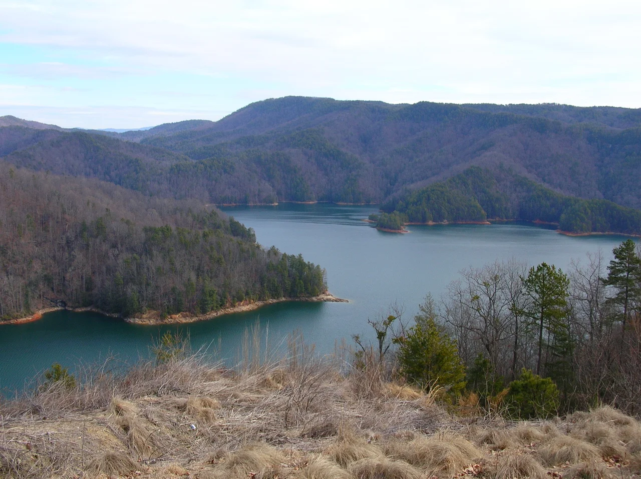
There is a flower that grows only here. The Oconee Bell, a small white bloom with a delicate notched petal, was first collected by the French botanist Andre Michaux in 1788, then promptly lost to science for nearly a century. When botanists rediscovered it in the 1870s, they found it clinging to the streamsides of one small corner of the Southern Appalachians. Today, those streams pour into Lake Jocassee, and Devils Fork State Park is the front door. The lake is 350 feet deep in places. The shoreline runs 75 miles and is almost entirely undeveloped. You can be on this water for an hour before you see another boat.
The End of the Road
Lake Jocassee sits where the Blue Ridge Mountains tumble down into the Piedmont, a place geologists call the Blue Ridge Escarpment. The land falls more than 2,000 feet in just a few miles, and the rivers that drain it, the Whitewater, the Thompson, the Toxaway, the Horsepasture, do not bother with switchbacks. They come straight off the mountain in a series of waterfalls that pour directly into the lake. To see them you need a boat. There is no shoreline road, no scenic drive, no overlook. The Jocassee Gorges Conservation Area wraps around the water on three sides, and the South Carolina border with North Carolina runs through the northern reaches. Standing on the boat ramp at Devils Fork, with mist coming off the water and the mountains rising blue-green across the lake, it is genuinely hard to believe you are in the Deep South.
Cold and Deep
Jocassee is a young lake by geological standards, impounded in 1973 by Duke Energy for hydroelectric power. The water that fills it comes from springs and mountain rivers, and even in August it runs cold enough that scuba divers report something unusual for the South: thermoclines, distinct layers of cold water that hold visibility well into the depths. Divers have surveyed the old roads, foundations, and even a small cemetery that lies under the lake. Trout thrive here, and the waterfall coves attract kayakers paddling against the spray. The park itself is small, a couple of campgrounds, a cluster of cabins, a boat ramp, and a short trail through the rhododendron, but it serves as the gateway to something much larger. Most of the lake is unreachable except by water.
Oconee Bells and Carolina Hemlocks
The Oconee Bell makes its stand here for a reason. The escarpment creates a microclimate, a Temperate Southern Rainforest with 75 inches of rain a year and humid air trapped against the mountains. Cool streams keep their feet wet through summer heat. The plant is finicky: it needs deep shade, acidic soil, and steady moisture. Lose any one of those and it disappears. So while the Oconee Bell exists in a few scattered pockets in the Carolinas and Georgia, the streamsides around Jocassee are its stronghold. Bloom time is short, usually March, and visitors who time it right find white flowers carpeting the forest floor along Bell Trail. The Carolina hemlock, another southern Appalachian rarity, lines the steeper slopes. Walking the trails feels less like the Piedmont and more like a transplanted slice of New England, dropped here at the end of a winding rural road.
Practicalities
The park draws over 250,000 visitors a year, which sounds like a lot until you realize most of them come in summer weekends. Weekday visits in spring or fall feel nearly empty. Reservations for the lakeside campsites and villas are essential in season, sometimes booked months ahead. There are 59 paved sites with electric and water hookups, 25 walk-in tent pads on raised platforms, and boat-in backcountry sites on the northern shore at the base of Musterground Mountain. Cell service is unreliable. The drive in from Charlotte takes about two hours via I-85 and I-26 to SC Highway 11, then a final winding stretch on county roads. Bring offline maps and, if you can, bring a boat. The lake is the point.
From the Air
Located at 34.95 degrees North, 82.95 degrees West in northwestern South Carolina, in Oconee County. Lake Jocassee is a Y-shaped impoundment visible from altitude as a deep blue inlet against the Blue Ridge Escarpment. The lake sits at roughly 1,100 feet elevation; surrounding ridges rise to 3,000 feet. Nearest airports: Pickens County (KLQK) about 12 nm southeast, Oconee County Regional (KCEU) about 18 nm south, Greenville-Spartanburg International (KGSP) about 45 nm east. Best viewed at 4,500 to 6,500 feet on clear mornings; afternoon convective buildup over the escarpment is common in summer.
Nearby Stories
- Pisgah Astronomical Research Institute 8.7 km away
- Anderson Regional Airport 17 km away
- Battle of Lindley's Fort 23 km away
- Camp Wadsworth 26 km away
- Green River (North Carolina) 29 km away
- Great Smoky Mountains National Park 52 km away
- Dahlonega, Georgia 62 km away
- Great Smoky Mountains: The Park That Gets More Visitors Than Anywhere 82 km away