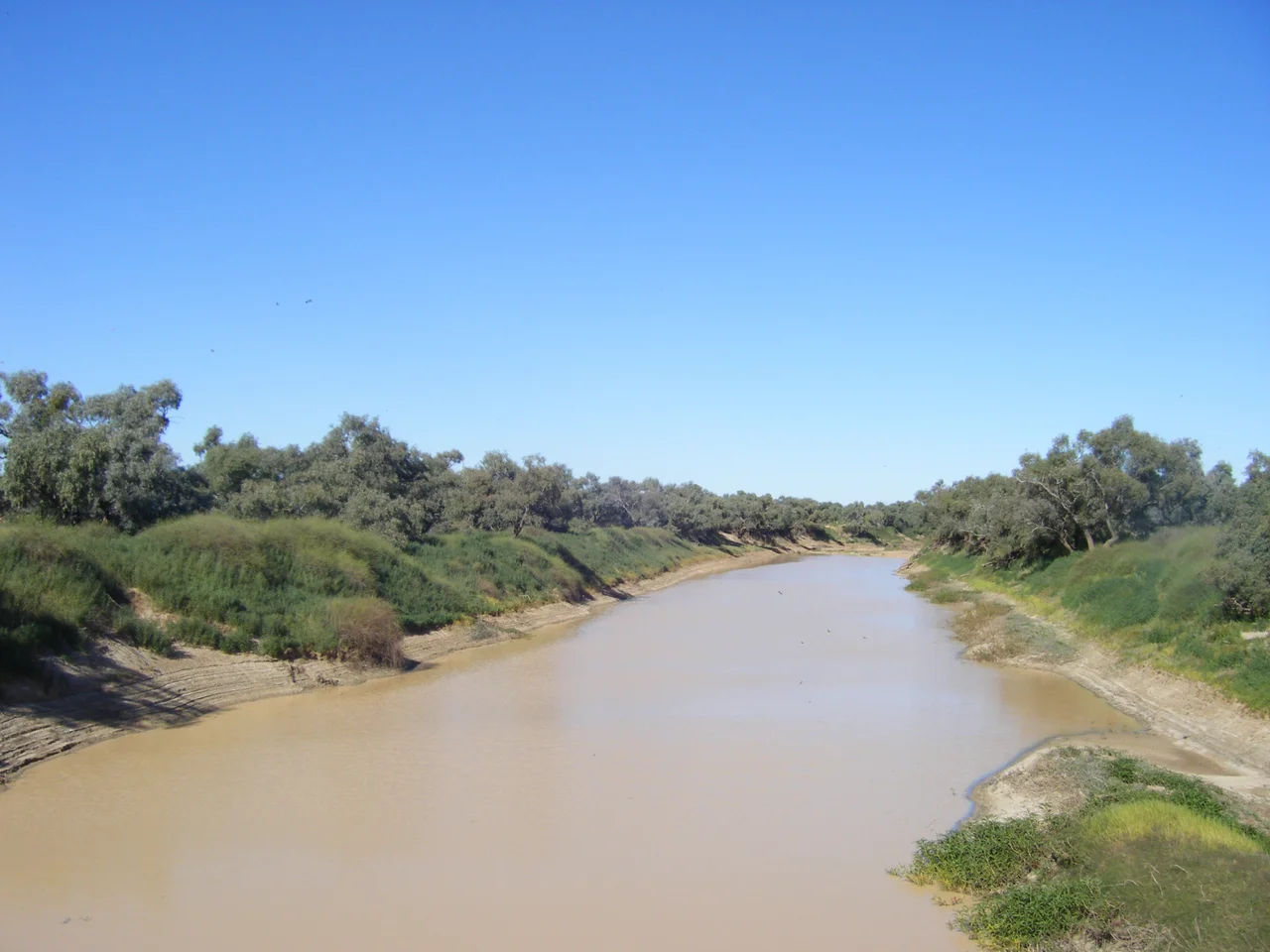

Diamantina River
Most rivers carve one channel and keep to it. The Diamantina refuses. Across the flat heart of the Australian outback it splits into a hundred braided threads, weaving and rejoining over plains so level that the highest ground for hundreds of kilometres barely clears five hundred metres. From the air after rain, the land looks less like a river than a vast circuit board etched in silver and green. This is the Channel Country, and the Diamantina is one of its great arteries: a watercourse that vanishes to dust for years, then explodes into a flood so wide you cannot see across it.
A River Named for a Governor's Wife
The explorer William Landsborough gave the river its name in 1866, honouring Lady Diamantina Bowen, wife of Sir George Bowen, the first Governor of Queensland. She was born Contessa Diamantina di Roma in the Ionian Islands, and her unusual given name now belongs to one of the wildest rivers on the continent. The Diamantina rises in the Swords Range and runs roughly nine hundred kilometres southwest, gathering the Western River, the Mayne River and Farrars Creek as it goes. Long before any of these European names, the country here belonged to the Karuwali people to the north and the Wangkangurru people across the lower floodplains, whose deep connections to this country long predate any colonial name.
The Channel Country in Flood
Rain almost never falls here. Then, in the worst summers, it falls catastrophically. Birdsville averages perhaps ninety millimetres across the wet months, yet the far north of the catchment has recorded annual totals above eleven hundred millimetres in years like 1894, 1950 and 1974. When the upstream country drowns, the water comes down. In the great flood of 1950, the river ran as a torrent reported at thirty miles wide and drowned some three thousand square miles of plain. A decade earlier, during the 1940 floods, the local mailman simply swapped his vehicle for a motorboat to finish his round. Because the land is so flat and the channels so shallow, the flood spreads sideways rather than deepening, turning desert into an inland sea.
Half a Million Birds
What the flood leaves behind is abundance. When the lower Diamantina drowns, its floodplain becomes one of the most important wetlands in inland Australia. BirdLife International has recognised the lower reaches as an Important Bird Area, estimating that the swollen river can host at least four hundred and fifty thousand waterbirds at once. Nankeen night-herons stalk the shallows beside royal spoonbills and little curlews; the grey grasswren and cinnamon quail-thrush haunt the drier fringes. The grasses that erupt on the receding mud are extraordinarily nutritious, and the country around Birdsville becomes prime cattle-fattening ground in the rare seasons when the north floods. Boom follows bust with brutal speed, and every living thing here is built to seize the boom.
The Scar of an Ancient Sky
Near its headwaters, the Diamantina traces the rim of something stranger than any flood. Geoscience Australia has identified a roughly circular crustal anomaly about a hundred and thirty kilometres across, hidden beneath the plains west of Winton. Some geologists believe it marks the buried scar of an asteroid strike from around three hundred million years ago, and have given it provisional names: the Winton crater, the Winton Impact Structure. Proof is still lacking, and drilling would be needed to settle the question. But it is a fitting mystery for this river, which feeds the lowest point on the continent. In the rarest, wettest years, the Diamantina joins the Georgina to form the Warburton River, and the Warburton carries the flood all the way to Lake Eyre, sixteen metres below sea level, filling the dead heart of Australia with shallow, temporary water.
From the Air
The Diamantina River runs through Channel Country at roughly 26.9 degrees south, 139.2 degrees east, between Winton (the largest town in the basin) and Birdsville, Queensland. The braided channel network is most striking from 3,000 to 6,000 feet AGL after rain, when the silver threads and green flood-grass stand out against red and grey plains; in drought the channels read as a faint maze of dry beds. Nearest aerodromes are Birdsville (YBDV) and Bedourie (YBIE) to the south, with Windorah (YWDH) and Winton (YWTN) to the east and northeast. This is remote country: expect long distances between strips, summer heat haze, and brilliant visibility in the dry season.
Nearby Stories
- Warburton River 19 km away
- Sturt Stony Desert 43 km away
- Cowarie Station 55 km away
- Malkumba-Coongie Lakes National Park 58 km away
- Munga-Thirri–Simpson Desert National Park 83 km away
- Eromanga Sea 91 km away
- Mungerannie 94 km away