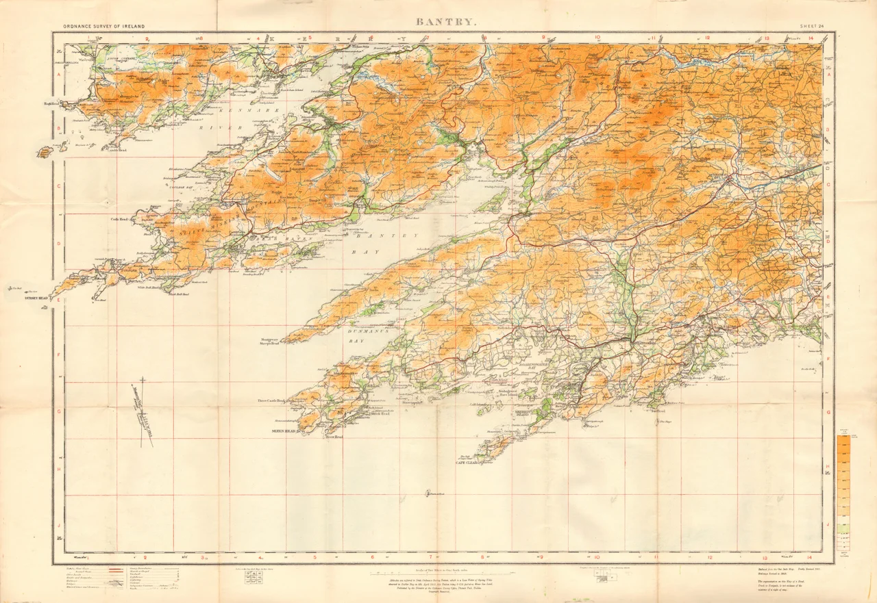

Dursey Island
Three people live here. They are the entire 2022 census of Dursey Island, an outcrop of Beara at the southwestern toe of Ireland that is reached not by ferry but by cable car - the only one in the country, and one of very few in Europe that crosses a sea. The cabin holds six adults at a squeeze, and when the wind shifts you feel the cable shudder above the waters of Dursey Sound. Beneath you, somewhere between the abutments, lies the submerged Flag Rock, a shipping hazard in a strait already infamous for its tidal race. The crossing takes about ten minutes. On the far side waits an island 6.5 kilometres long and 1.5 kilometres wide, with no shops, no pubs, no restaurants, and a long memory of violence.
Ireland's Only Cable Car
The Dursey Sound cable car has been carrying islanders and their groceries since 1969, when it replaced a small boat that had crossed the strong tides at considerable risk. The original system was rough by modern standards - a single steel cabin slung from cables, swinging in Atlantic wind, with priority by tradition given to cattle and sheep over tourists. It closed in 2022 for a comprehensive refurbishment: the towers and tracks were replaced or rebuilt, the safety systems overhauled. It reopened in mid-2023, and on a clear day the descent gives passengers a view down into water clear enough to count the kelp fronds on the seabed. Basking sharks, the world's second-largest fish, are sometimes visible passing through the sound in summer. Dolphins, minke whales, and the occasional fin whale work the same waters, drawn by the same upwelling currents that make the tidal race so treacherous to boats.
The Three Hundred and the Thousand
In 1602, English forces under Sir George Carew captured a small O'Sullivan Beare garrison on Oileán Beag, the little island just off Dursey's tip. Philip O'Sullivan Beare, writing later, claimed the soldiers killed all three hundred islanders who had taken refuge there. Whatever the exact toll - sixteenth-century body counts are unreliable - the Dursey massacre belongs to a darker, larger story. Later that same winter, Donal Cam O'Sullivan Beare, the clan's chief, gathered around one thousand of his people from across Cork and led them on a march of nearly five hundred kilometres in the depths of winter, hoping to reach the safety of the O'Rourkes of Leitrim. Pursued, ambushed, starving, freezing, harassed by hostile lords through the snowbound midlands, they were reduced to thirty-five survivors when they finally reached Leitrim. The march is remembered in Irish history as one of the longest and most desperate retreats of the Nine Years' War.
The Stones That Came Before
Long before Carew and the O'Sullivan Beares, the people who lived on Dursey were leaving their marks in stone. Surveys have identified bullaun stones - basin-shaped depressions ground into rock for purposes still debated, perhaps grinding grain, perhaps ritual - and cup-marked stones with their mysterious dotted patterns, in the townland of Ballynacallagh. A prehistoric hut site survives at Killowen, and a radial stone enclosure at Maughanaclea. A ruined monastic church and graveyard mark the medieval Christian chapter; somewhere among the older stones lies the foundation of the castle Carew destroyed. The island's name in Irish, Oileán Baoi, refers to the goddess Beara herself, who gives her name to the whole peninsula. The Norse called the island *Þjórs-ey* - bull island - which is the more likely root of the modern name.
Three Rocks, Three Lighthouses
Off Dursey's western tip stand three sea stacks named for a small herd: Bull Rock, Cow Rock, and Calf Rock. Each has its own history of light and loss. The Calf Rock lighthouse, built to warn ships off the Beara coast, was destroyed in a storm in 1881; some of its iron remains still cling to the rock. The replacement on Bull Rock was built in 1888 and automated in March 1991, the last lighthouse-keepers leaving the rock that had been their home for over a century. Cow Rock, between them, never carried a light but supports nesting colonies of seabirds: kittiwakes, guillemots, fulmars, gannets that nest in tens of thousands further west on Skellig Michael but pass over Dursey by the day. In July 1943 a Luftwaffe Junkers Ju 88, lost in fog over the strictly neutral Republic, crashed on Crow Head near Dursey, killing the entire crew. A memorial sign still stands beside the cable car station. Nearby is the whitewashed *Éire* sign on the cliff, one of dozens around the Irish coast built during the Second World War to warn pilots of all combatant nations that they were over neutral territory.
Walking to Istanbul
If you step off the Dursey cable car and walk westward to the end of the island, you are at the start of the E8 European long distance footpath, which threads its way for several thousand kilometres across the continent to end in Istanbul. Few who make the short loop of the Beara Way around Dursey will ever walk the full distance, but the trailhead is real, marked, and oddly disproportionate to the three permanent inhabitants. There are no shops to resupply at, no cafes to rest in, no pub to mark the start of so long a journey - just a few holiday cottages let out by absentee owners, the path through gorse and bracken, and the prevailing southwesterlies blowing off five thousand kilometres of open Atlantic. The island sits at the end of one journey, and at the start of another.
From the Air
Coordinates 51.6°N, 10.2°W, at the southwestern tip of the Beara Peninsula in County Cork. The island's three peaks rise to 252 m, distinctive as a low, ridged spine running east-west between the open Atlantic and Bantry Bay. The cable car crossing of Dursey Sound is visible from low altitude as a thin line of poles. Cruise at 1,500-3,000 ft for the best views of the Bull, Cow and Calf Rocks just offshore. Nearest airports: Kerry (EIKY) about 35 nm northeast, Cork (EICK) about 60 nm east. Atlantic weather here is unforgiving - low cloud, rain, and 40-knot gusts are routine, exactly the conditions that caused the 1943 Ju 88 crash on Crow Head.
Nearby Stories
- French Expedition to Ireland (1796) 3.2 km away
- Portmagee 3.4 km away
- Battle of Callann 28 km away
- HMHS Llandovery Castle 33 km away
- RMS Lusitania 90 km away
- The Laki Eruption: The Volcano That Changed World History 1423 km away
- The Northern Lights: The Sky Show That Vikings Thought Was Bridge to the Gods 1524 km away
- Sao Miguel 1892 km away