
Edel Land National Park
This is where the Australian mainland makes its last stand against the Indian Ocean. Edel Land is the long, narrow peninsula that forms the western edge of Shark Bay, a finger of dune and limestone reaching out to Steep Point, the westernmost tip of the continent. It is a place defined by edges — the edge of the land, the edge of the World Heritage Area, the edge of European knowledge of Australia itself. For now it carries the unusual status of a proposed national park, formally recognised and protected within the Shark Bay World Heritage Site, yet still in the slow process of becoming one in full.
Malgana Country
Long before any sail appeared on the horizon, this peninsula was home. Edel Land is the traditional Country of the Malgana people, and it sustained them through resources that an outsider's eye would easily miss. Stone for tools was quarried from a natural source at Crayfish Bay. Food came from the sea in the form of fish, and from the hardy plants that cling to the dunes. Most precious of all in this dry, salt-rimmed land was fresh water, drawn from a soak called Willyah Mia on the peninsula's eastern shore. To live here was to know exactly where the water was — a knowledge measured in generations, and a reminder that the land Europeans would later call 'discovered' had been intimately understood for thousands of years.
The First Landfall
In October 1616, a Dutch East India Company captain named Dirk Hartog overshot the usual route to Batavia and bumped into the unknown. He made landfall on the island just off this peninsula — the island that now bears his name — and nailed a flattened pewter plate to a post to record his visit. He was not quite the first European to reach the Australian continent; Willem Janszoon had touched the far north a decade earlier. But Hartog was the first to set foot on its western coast, and his plate became the oldest known European artefact left on Australian soil. From the heights of Edel Land you look across the water to the very island where that strange, accidental meeting between the Old World and this one took place.
The Steep Promontory
The names on this coast are Dutch because the Dutch came first. In 1697, the navigator Willem de Vlamingh spent more than two weeks exploring Shark Bay, and somewhere along this exposed western shore he looked up at the cliffs and named the peninsula's blunt end Steyle Hoek — Steep Promontory. The English-speakers who followed simply translated it, and Steep Point was born. De Vlamingh is best remembered for what he did on Hartog's island, where he found the 1616 plate weathered and loose, lifted it, and nailed up a fresh one recording both Dutch visits. The naming of Edel Land's headland was almost a footnote to that act — yet it stuck, and three centuries later travellers still drive to the place the Dutch called steep.
A Park Still Becoming
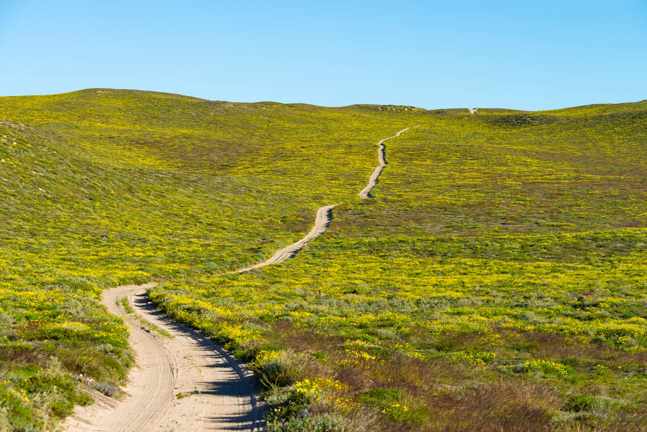
Edel Land occupies a curious moment in its own history. It is wrapped into the Shark Bay World Heritage Site, celebrated for the marine wonders just offshore, yet as a national park it remains a proposal working its way toward full status — a wild place being formally recognised for what it has always been. The peninsula is rugged and largely roadless, its tracks shifting through soft sand, its appeal precisely its remoteness. In spring, wildflowers brighten the low heath. The eastern shore looks over the protected waters of Shark Bay; the western side meets the full force of the open ocean and the cliffs that run south toward the Zuytdorp coast. Between those two faces lies a thin, dramatic ribbon of land at the very end of the continent.
From the Air
Edel Land National Park occupies the western peninsula of Shark Bay, centred near 26.15°S, 113.16°E, about 670 km north of Perth. From the air the contrast is striking: the sheltered, turquoise, seagrass-streaked waters of Shark Bay on the eastern side, and the deep, dark, surf-pounded Indian Ocean off the western cliffs, with a narrow spine of pale dunes and limestone between. Dirk Hartog Island lies immediately to the north across the South Passage, a key visual landmark. Steep Point marks the peninsula's far western tip — the westernmost point of mainland Australia. Nearest field is Shark Bay Airport at Denham (YSHK / MJK) to the east across the bay; Carnarvon (YCAR / CVQ) lies to the north and Geraldton (YGEL / GET) well to the south. Recommended viewing altitude is 2,500–5,000 ft AGL: lower along the western cliffs to read the coastline, higher to capture the peninsula's full shape and the channel to Dirk Hartog Island. Expect strong, often gusty onshore winds off the ocean side; visibility over the bay is typically superb, with the seagrass banks most vivid under high sun.
Nearby Stories
- Dirk Hartog Island 5 km away
- Peron Peninsula 11 km away
- Monkey Mia 17 km away
- Hamelin Pool Marine Nature Reserve 61 km away
- Zuytdorp Cliffs 128 km away
- Battle of Christmas Island 1854 km away
- Christmas Island 1881 km away
- Chatham Islands 6544 km away