
Ethabuka Reserve
The Mulligan River is dry for ninety-nine days out of a hundred, a ghost of a river written in sand. Then the rain comes somewhere upstream, and water races down the empty bed, filling waterholes, soaking the swales between the dunes, and turning the red desert briefly, impossibly green. That pulse of water is the heartbeat of Ethabuka Reserve, more than 213,000 hectares of dunefield and floodplain at the northern edge of the Simpson Desert, where Queensland runs up against the Northern Territory border. This is Wangkamadla country, ancient and arid, and since 2004 it has been protected by Bush Heritage Australia as a refuge for the desert's astonishing life.
Country of Red Dunes
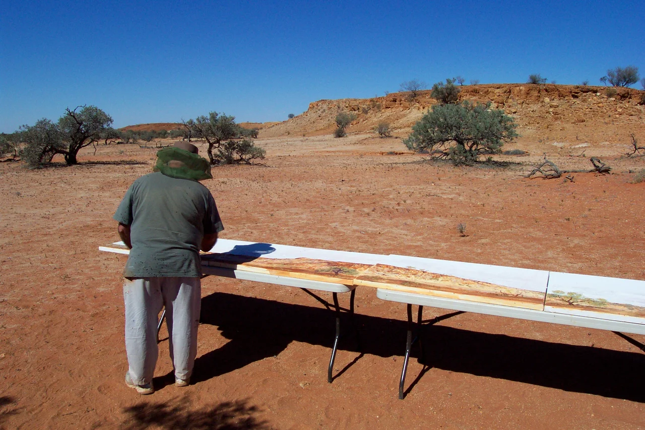
Ethabuka sits at the wild arid top of the Simpson Desert, and it looks the part: long parallel sand dunes running to the horizon, separated by the low corridors called swales, with clay flats and stony gibber plains spread between. Gidgee woodlands trace the heavier soils, their dark acacia foliage carrying a distinctive sharp scent after rain. At just 99 metres above sea level, this is a flat, sun-hammered land of extremes, scorching by day and surprisingly cold on clear desert nights. The dunes are not lifeless drifts but living systems, anchored by spinifex and hopping with creatures that have made the sand their own. It is the kind of country that rewards patience: empty at a glance, teeming once you slow down and look.
The Waterhole That Holds On
At the centre of Ethabuka's significance is the Pulchera waterhole, a semi-permanent wetland fed by the ephemeral Mulligan River and recognised as nationally important. In a desert, a body of water that endures between floods is a lifeline, drawing birds, mammals, and reptiles from across the surrounding sands and concentrating life around its margins. When the Mulligan does run, the whole landscape responds: dormant seeds germinate, waterbirds arrive seemingly from nowhere, and the reserve flushes with growth and breeding. When the water retreats, Pulchera holds on, a stubborn green promise that the next flood will come. The reserve's standing as an Important Bird Area rests in large part on these wetlands and the birdlife they sustain through the dry.
A Cattle Run Turned Refuge
Ethabuka's modern history is short and telling. The land was first offered as a pastoral lease in 1910, though no one took it up until 1946, when it began running beef cattle across country that gave grass grudgingly. In 2004 Bush Heritage Australia bought the property and retired it from grazing, joining it conceptually with the adjacent Pilungah Reserve to protect a huge connected sweep of desert. The shift from cattle station to conservation reserve is the quiet drama here: the same dunes and waterholes, now managed not for what they can produce but for what they can shelter. Removing stock and controlling feral animals lets the native systems breathe, and lets a landscape long worked for profit return to working for itself.
Where the Desert Comes Alive
For all its apparent emptiness, Ethabuka holds one of the richest collections of reptiles in Australia, including the perentie, the continent's largest goanna, a powerful lizard that can grow longer than a person is tall. Small desert mammals abound between the dunes: the carnivorous mulgara, along with native rodents such as Forrest's mouse and the brown desert mouse, and the long-legged spinifex hopping mouse that bounds across the sand on its hind feet. After good rain, this hidden abundance surges into view, breeding and feeding in the brief green window before the dry returns. Ethabuka is proof that a desert is not a void but a finely tuned community, one that Bush Heritage and the Wangkamadla people now safeguard together at the far red edge of the continent.
From the Air
Ethabuka Reserve lies at 23.84°S, 138.26°E at the northern end of the Simpson Desert in far western Queensland, its western boundary on the Northern Territory border. The terrain is dunefield and floodplain at roughly 99 m elevation: long parallel red sand dunes, swales, clay flats, and the channels of the ephemeral Mulligan River, with the Pulchera waterhole a key landmark when water is present. There is no public airstrip on the reserve; nearest options are Bedourie (ICAO YBIE) to the southeast and Boulia (ICAO YBOU) to the northeast, both a long way off. Recommended viewing altitude 3,000 to 6,000 ft AGL to appreciate the parallel dune patterning and the green flush of the floodplain after rain. Visibility is generally excellent in the dry desert air, but blowing sand can reduce it abruptly. The remote, sparsely featured terrain demands instrument navigation and careful fuel planning.
Nearby Stories
- Pilungah Reserve 46 km away
- Deserts of Australia 67 km away
- Bedourie 68 km away
- Marion Downs Station 83 km away
- Bedourie Pisé House 86 km away
- Simpson Desert 93 km away
- Lakes Muncoonie, Mumbleberry and Torquinie Important Bird Area 95 km away
- Marqua Station 100 km away