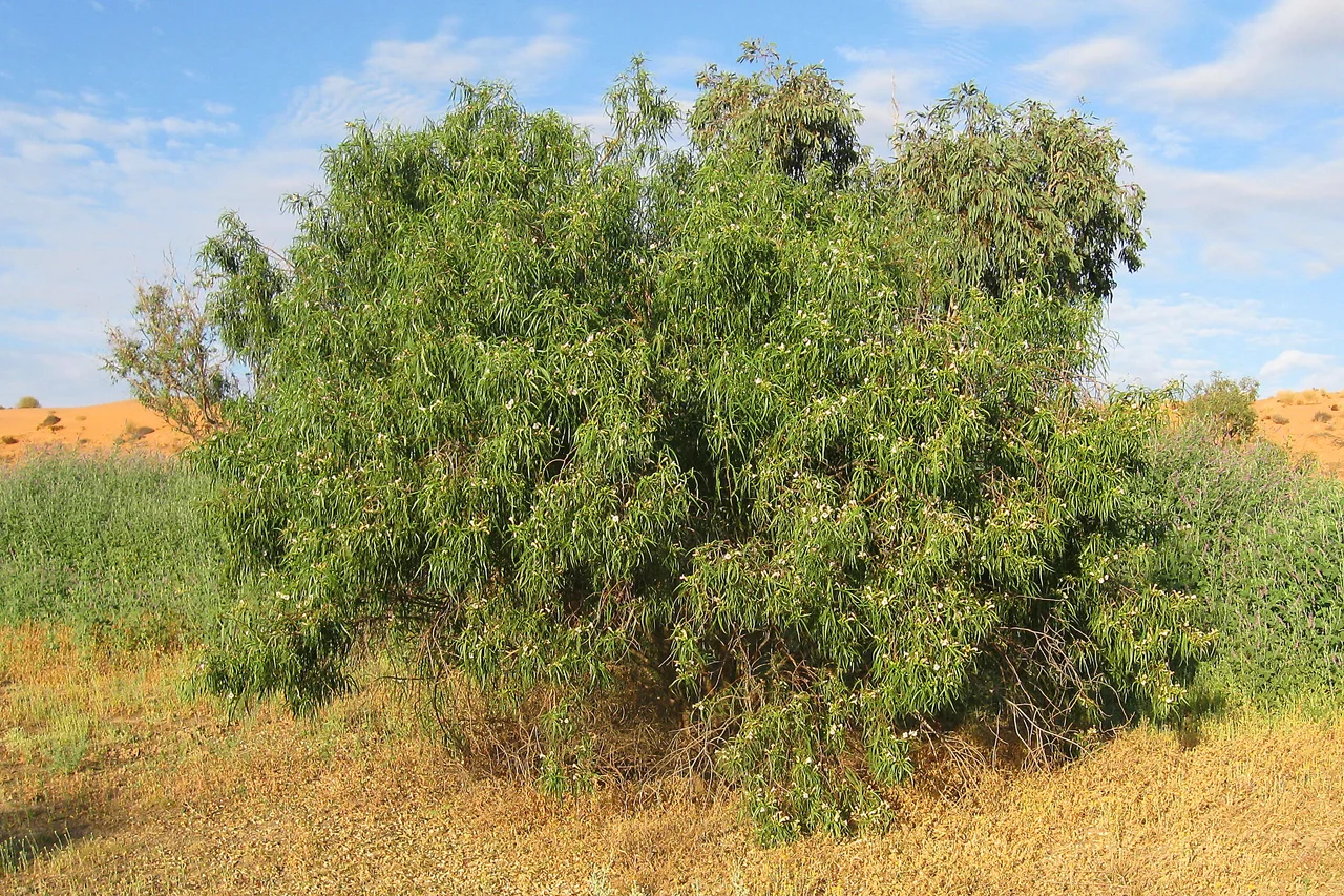

Simpson Desert
From the air it looks combed. More than eleven hundred sand ridges run almost perfectly parallel across central Australia, north to south, some unbroken for two hundred kilometres - the longest parallel dunes anywhere on the planet. The Wangkangurru Yarluyandi people call this country Munga-Thirri, 'big sandhill country', and no name fits a landscape more exactly. Spread the dunes flat and you would carry a single grain of quartz across three states. But the Simpson is not empty space between somewhere and somewhere else. People lived here, raised families here, and read this seemingly blank ground like a map for at least five thousand years.
Big Sandhill Country
The dunes are the whole show, and they are stranger than they look. Each ridge is fixed in place, anchored by tough cane grass and spinifex, so the Simpson does not march or shift like a Saharan erg. It simply holds its pattern, sculpted long ago by winds that no longer blow that way. Height and spacing rise together: where six ridges crowd into a kilometre they stand maybe fifteen metres, but where the land thins to one or two ridges per kilometre, they swell to thirty-five or thirty-eight. On the eastern edge near Birdsville rises Nappanerica, known to almost everyone as Big Red, the tallest of them all. The sand itself shades from pale grey near the rivers to deep brick red on the crests - the red is rust, iron oxide bleeding out of the quartz as it weathers, grain by grain, over millennia.
Water in a Dry Land
Beneath all that sand lies one of the largest groundwater systems on Earth, the Great Artesian Basin, and the Wangkangurru built their lives around the places it surfaced. They dug wells by hand, narrow shafts called mikiri sunk down to reach water hidden under the dunes, and the position of every mikiri was knowledge passed down and held close. A site that mattered was almost always a site with water. When the drought of 1899 to 1901 closed its grip, the people walked out of the desert - not driven by fences or guns, as happened in so much of the country, but leaving of their own decision as the wells failed. By the 1960s only three people remained alive who had grown up walking that land. Many of the mikiri were lost, then rediscovered generations later, exactly where the old knowledge had always placed them.
The Long Way Across
Europeans arrived late and assumed the desert was uninhabitable - a misreading that says more about them than the land. The surveyors came first. In 1880, Augustus Poeppel marked the point where Queensland, South Australia and the Northern Territory meet, only to discover the links of his measuring chain had stretched in the heat and thrown his post three hundred metres too far west; a later survey fixed it, and the spot is Poeppel Corner still. In 1936, Ted Colson became the first European to cross the whole desert, riding camels for thirty-six days and nearly six hundred miles - though he did not do it alone. He travelled with a young Antakirinja man named Eringa Peter, whose knowledge of the country made the crossing possible. The name Simpson Desert was coined by geologist Cecil Madigan, honouring Alfred Allen Simpson, a geographer and philanthropist who happened to own a washing-machine company.
Wheels, Boots and a Bass Drop
Not until September 1962 did a vehicle make it across. Geologist Reg Sprigg drove from Andado to Birdsville with his wife Griselda and their two children riding along over roughly eleven hundred dunes - a family holiday that happened to be a first in history. After that came the runners and the walkers, each chasing some new variation of difficult: the first run, the first solo walk relying on those ancient wells for water, the first crossing through the exact geographical centre, hauling food and water in a two-wheeled cart. There are no maintained roads, only old seismic-survey tracks - the French Line, the Rig Road, the QAA Line - cut while crews hunted oil and gas in the 1960s. Most travellers still cross west to east, climbing the gentler windward faces. And once a year, on the lee of Big Red, the Big Red Bash bills itself as the most remote music festival on Earth - a stage, a crowd, and a thousand dunes for a backdrop.
When the Desert Floods
Call it a desert and the word does it a disservice. Rain averages around a hundred and fifty millimetres a year and summer heat climbs toward fifty degrees, yet the Simpson sits inside the Lake Eyre Basin, a vast inland drainage where water, when it finally comes, transforms everything. The wet of 2009 to 2010 was among the heaviest in decades; Birdsville caught more rain in a single day than it usually sees in a year, and seventeen million megalitres surged down the western rivers toward Lake Eyre. The dunes burst green and gold. Red kangaroos, dingoes, the rare kowari and the elusive Eyrean grasswren live out here, alongside frogs that can wait out years of drought sealed underground. When the floods arrive, waterbirds appear by the thousands as if conjured. The Simpson keeps two faces, and only patience reveals the second one.
From the Air
The Simpson Desert spans roughly 24.6 degrees south, 137.4 degrees east, straddling the corner of the Northern Territory, South Australia and Queensland. From altitude the signature is unmistakable: more than a thousand long, parallel red sand ridges running north-south across about 176,500 square kilometres, the largest field of parallel dunes on Earth. Big Red (Nappanerica) marks the eastern edge near Birdsville. The nearest aerodromes are Birdsville Airport (YBDV) in Queensland on the eastern fringe and Alice Springs Airport (YBAS) well to the northwest; Boulia (YBOU) lies to the northeast. This is some of the most isolated airspace in Australia - no fuel, no roads, and extreme heat much of the year. Light favours dawn and dusk, when low sun rakes across the ridges and throws every dune into sharp relief; the desert is closed to ground visitors over the dangerous summer months.
Nearby Stories
- Simpson, Northern Territory 18 km away
- Simpson Desert Important Bird Area 45 km away
- Simpson Desert Bike Challenge 58 km away
- Ethabuka Reserve 65 km away
- Munga-Thirri National Park 81 km away
- Colson Track 138 km away
- Pilungah Reserve 156 km away