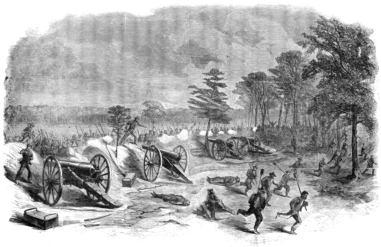

First Battle of Deep Bottom
Grant did not actually want to capture Richmond on July 27, 1864. He wanted Robert E. Lee to think he did. The Army of the Potomac had been bogged down outside Petersburg for six weeks. Grant had a plan to break the deadlock — Union miners were tunneling under the Confederate line to detonate four tons of black powder beneath their fortifications, an attack scheduled for July 30 that would become known as the Battle of the Crater. To improve its chances, Grant needed Lee to thin out his Petersburg defenses. So Grant sent Winfield Hancock's II Corps and Philip Sheridan's cavalry across the James River at Deep Bottom in a feint toward Richmond. The battle that followed accomplished its mission — and also failed in the way most diversions do.
The Geography of the Plan
Deep Bottom is a horseshoe bend in the James River, eleven miles southeast of Richmond. The Confederate capital sat north of the river; the Union supply line ran south, mostly through Petersburg's railroad junctions. Sealing Petersburg off was Grant's whole strategy. By June 15-18, 1864, his initial assaults on the city had failed, and the campaign settled into a siege. While Union cavalry conducted the Wilson-Kautz Raid to cut Petersburg's railroads from a distance, Grant planned the Crater attack. To make it work, he needed to draw Confederate troops north of the James. He picked Deep Bottom because Union engineers had built two pontoon bridges across the river there earlier that summer — one for X Corps, one for the new force. At 3:00 a.m. on July 27, Hancock's infantry and Sheridan's cavalry crossed.
The First Day
Three Union divisions advanced — John Gibbon's on the left, Francis Barlow's in the center, Gershom Mott's on the right. They broke through the Confederate rifle pits along the New Market Road and captured four cannons. Then they hit Bailey's Creek and the main Confederate fortifications, manned by reinforcements that Robert E. Lee — exactly as Grant had hoped — had just shifted from the Petersburg lines. Joseph Kershaw's division, plus three brigades from Cadmus Wilcox's, had moved east on the New Market Road and taken positions on New Market Heights. The Confederate works were formidable. Sheridan's cavalry took the high ground near Fussell's Mill but were driven back by the 10th and 50th Georgia. Hancock looked at the defenses and chose not to assault them. He spent the rest of the day reconnoitering and waiting.
The Second Day
By July 28, Lee had committed Richard Anderson to command the Deep Bottom sector and added Henry Heth's infantry division and W.H.F. 'Rooney' Lee's cavalry. Grant reinforced Hancock with a XIX Corps brigade, freeing Gibbon's division to swing around the Confederate left at Gravel Hill. The Confederate brigades hit first. Three of them — Lane's, McGowan's, and Kershaw's original brigade — charged Sheridan's right flank. The Union cavalry was waiting in a battle line just behind a shallow ridge, lying prone. The Confederates crested the ridge and ran straight into massed fire from Sharps breech-loading carbines, weapons that could fire eight to ten rounds per minute. The charge collapsed. Sheridan's mounted reserve pursued and took nearly two hundred prisoners. The Confederates managed to capture a single Union cannon before withdrawing.
Withdrawal, and What It Bought
By the afternoon of July 28, Hancock had repositioned his force to ensure he could pull back across the river without losing it. Grant was satisfied — Lee had pulled enough troops north of the James — and ordered Hancock to send Mott's division back to Petersburg that night for the Crater assault. The remainder of II Corps and the cavalry recrossed on July 31. Union losses came to 488 (62 killed, 340 wounded, 86 missing or captured). Confederate losses were 679 (80 killed, 391 wounded, 208 captured). For a 'diversion,' the cost was real — nearly 1,200 men killed, wounded, or captured to set up a different battle. The Crater itself, on July 30, was a catastrophe for the Union: a mine exploded successfully, but the assault that followed broke down in chaos and the attacking troops were slaughtered in the crater. Grant called it 'the saddest affair I have witnessed in the war.' Deep Bottom had bought him the conditions for it.
The Land Today
Second Battle of Deep Bottom followed in the same ground August 13-20, 1864 — another Union diversion, another tactical failure that achieved its strategic purpose by pulling Confederate troops north of the James. The American Battlefield Trust and partners have preserved 258 acres of the combined battlefields. Much of the rest is suburban Henrico County, but the river bend itself — Jones Neck, the horseshoe that gave Deep Bottom its name — remains visible from the air, and Route 5 still runs east-west along the route Confederate reinforcements used to reach the battle. The Union pontoon bridges are long gone. The riverbank where Hancock's men crossed at 3:00 a.m. is now mostly empty woods, with the James sliding past as it did then.
From the Air
The First Battle of Deep Bottom battlefield is centered at 37.44°N, 77.26°W in Henrico County, eleven miles southeast of Richmond, on the north bank of the James River at the horseshoe bend called Jones Neck. From 2,500 to 3,500 feet AGL the river bend is the dominant feature; the preserved battlefield acres are mostly second-growth woods now, but Route 5 (the old New Market Road) still traces the Confederate line of approach. Nearest airports: Richmond International (KRIC) about 11 nm northwest, Hummel Field (W75) about 22 nm east. The site sits just south of KRIC Class C airspace; contact Richmond Approach (118.92) for transition. Best viewing on a west-to-east pass at 3,000 feet, paralleling the river along Route 5.
Nearby Stories
- Rosewell Plantation 6.4 km away
- Christopher Newport University 13 km away
- Cactus Hill 18 km away
- Huguenot Memorial Chapel and Monument 24 km away
- Lewis Ginter Botanical Garden 27 km away
- Fort Christanna 44 km away
- USS Texas (1892) 50 km away