
Fredericksburg and Spotsylvania National Military Park
Within a thirty-mile circle of Fredericksburg, Virginia, four major Civil War battles were fought in eighteen months. Combined casualties exceeded 100,000. The National Park Service combines the battlefields into a single unit with the longest official name in the system - Fredericksburg and Spotsylvania County Battlefields Memorial National Military Park, seventy-five letters - and protects 8,374 acres across the rolling country between the Rappahannock and the Po. Roughly 15,000 Union soldiers are buried on Marye's Heights above the city, on ground the Confederates held during the worst slaughter of the war's first half. Two-thirds of those headstones bear no name.
Fredericksburg, December 1862
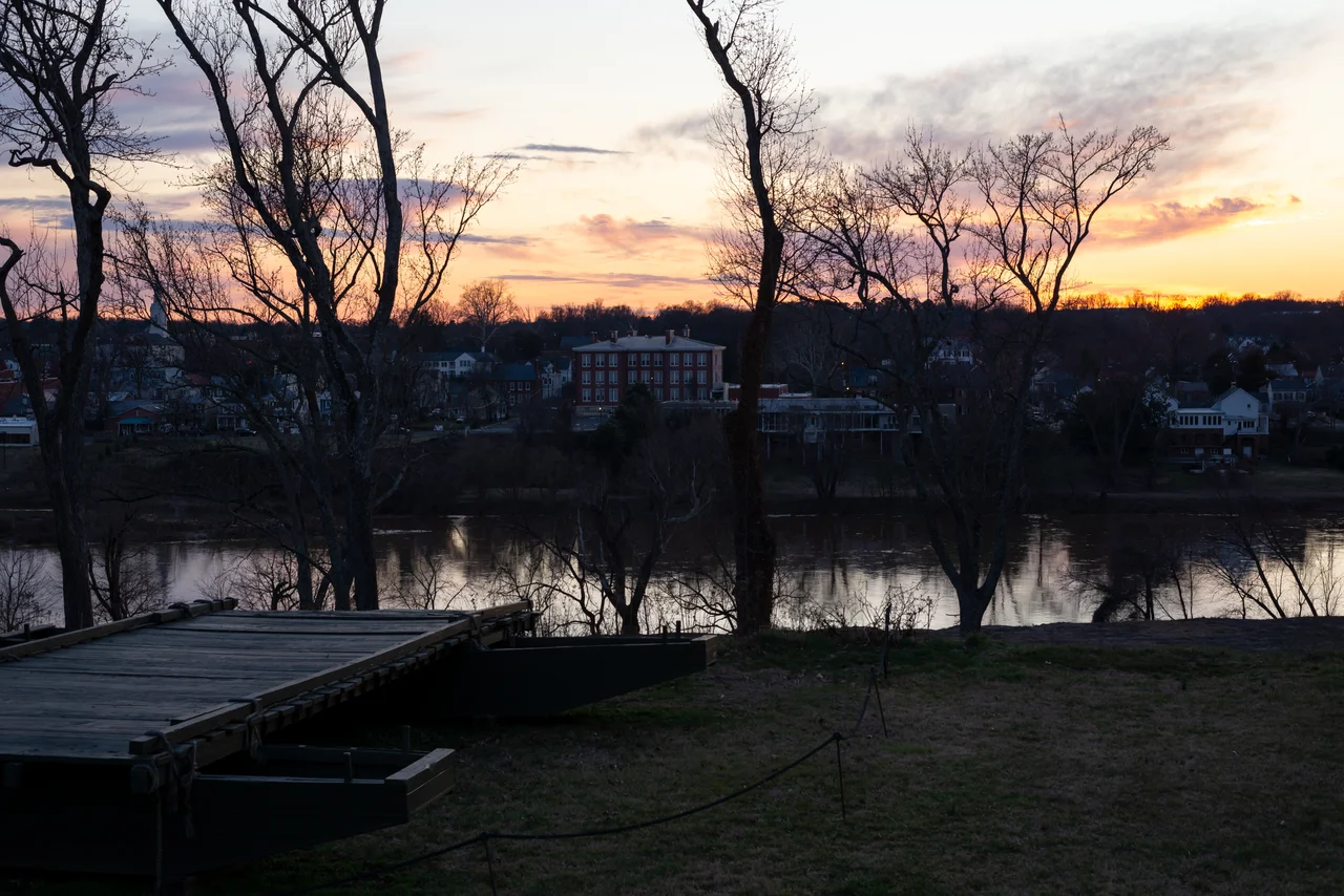
General Ambrose Burnside marched the Army of the Potomac to the north bank of the Rappahannock in November 1862, planning to cross on pontoon bridges before Robert E. Lee could get there. The pontoons arrived late. By the time Burnside's engineers had laid them and bombarded the town into submission on December 11, Lee had dug in on the high ground south of Fredericksburg. The federal assault on December 13 sent wave after wave of soldiers across an open plain at the foot of Marye's Heights, into massed Confederate infantry and artillery firing from behind a stone wall along a sunken road. Fourteen separate brigades attacked across that ground. None reached the wall. Union losses passed 12,000 in a single day. The wall and a stretch of the sunken road are still preserved at the foot of the heights. So is the Innis House on Marye's Heights, which still carries 1862 bullet holes in its interior walls.
Chancellorsville, May 1863
Five months later, Joseph Hooker came south with a larger Union army intending to do what Burnside had failed to do. Lee split his outnumbered force in two on May 2 and sent Stonewall Jackson on a long, looping march around Hooker's right flank. Jackson struck at dusk and rolled up the Union XI Corps so completely that Hooker lost his nerve and ordered a retreat. Lee won the most lopsided victory of his career. He also lost Jackson. Returning to his lines after dark, Jackson was mistakenly shot by his own pickets. His left arm was amputated at a field hospital - the arm is buried in the family cemetery at Ellwood Manor in Orange County - and he died of pneumonia eight days later at a small office building near Guinea Station. The building, now called the Stonewall Jackson Shrine, is part of the park.
The Wilderness and Spotsylvania, May 1864
A year later Ulysses S. Grant crossed the Rapidan with a still larger Union army and fought Lee for the first time in the dense second-growth scrub forest west of Chancellorsville. The Battle of the Wilderness on May 5-7, 1864, blunted both armies' tactical capabilities; the woods were so thick that artillery and cavalry were nearly useless and brush fires burned wounded men where they fell. Casualties were enormous - more than 28,000 combined. Every previous Union commander had retreated after that kind of loss. Grant did not. He marched south to Spotsylvania Court House. The battle that followed, May 8-21, included the twenty-four-hour Bloody Angle on May 12 - hand-to-hand combat in driving rain over a half-mile of trench, with bodies piled four and five deep. Casualties at Spotsylvania exceeded 32,000. Ellwood Manor, near the Wilderness battlefield, was Grant's headquarters; it is also where Jackson's arm is buried. The park preserves both.
Marye's Heights
Congress created Fredericksburg National Cemetery in July 1865, just three months after Appomattox, on the same ridge from which Confederates had cut down the Union assaults of December 1862. There are 15,243 Civil War burials. Only 2,473 are identified by name. The rest lie in mass graves, marked by stones that list two numbers - the plot number above, the count of bodies below. Some headstones read 11. Some read 4. Some read higher numbers still. The Willis family cemetery just beside the national cemetery predates the war and is enclosed by a brick wall. The Marye family home, Brompton, gave the ridge its name as newspapers covered the December 1862 disaster. The headlines from that month made the Sunken Road famous; the cemetery that came later made the cost personal. Several monuments stand among the graves: the 127th Pennsylvania Volunteer Monument, the Fifth Corps Monument erected by Daniel Butterfield in 1901, the Humphreys' Division Monument.
What the Park Protects
The park took shape in 1927 as a War Department property and was transferred to the National Park Service in 1933. It now protects 8,374 acres, of which 7,369 are federally owned. More than 500,000 people visit each year. The interpretive footprint covers four battlefields, four historic buildings - Chatham Manor in Stafford County, Salem Church, Ellwood Manor, and the Stonewall Jackson Death Site - and the ruins of the Chancellor house where Hooker's headquarters were. Chatham, a Georgian plantation built in 1771, served as Union headquarters during the Battle of Fredericksburg and was a field hospital where Clara Barton and Walt Whitman tended the wounded. From the air the park reads as patches of preserved forest and field threaded between the modern roads of greater Fredericksburg. The cemetery sits on Marye's Heights in plain view of the river the Union army crossed on its pontoons. Visiting all four battlefields requires more than a day. Reading all the names on the identified headstones does not - because most of the men have none.
From the Air
Fredericksburg and Spotsylvania National Military Park headquarters sits at 38.293 N, 77.469 W in Fredericksburg, with the four constituent battlefields spread across Spotsylvania County to the south and west. Recommended viewing altitude is 3,000 to 5,000 feet AGL to follow the geography from Marye's Heights and the Rappahannock at Fredericksburg, southwest to Chancellorsville and the Wilderness, then south to Spotsylvania Court House. The nearest airport is Shannon (KEZF) in Fredericksburg, about 2 nm south of the visitor center. Stafford Regional (KRMN) is 6 nm north; Quantico MCAS (KNYG) is about 13 nm north - watch for military traffic. Best light is mid-morning, when the preserved earthworks and the white headstones on Marye's Heights both stand out. The Rappahannock River curves through downtown Fredericksburg just below the heights.
Nearby Stories
- Battle of North Anna 9.4 km away
- Dolley Madison 11 km away
- Prince William County, Virginia 25 km away
- The Inn at Little Washington 26 km away
- Fork Union Military Academy 30 km away
- Menokin 30 km away
- Surratt House Museum 31 km away
- Piney Grove at Southall's Plantation 66 km away