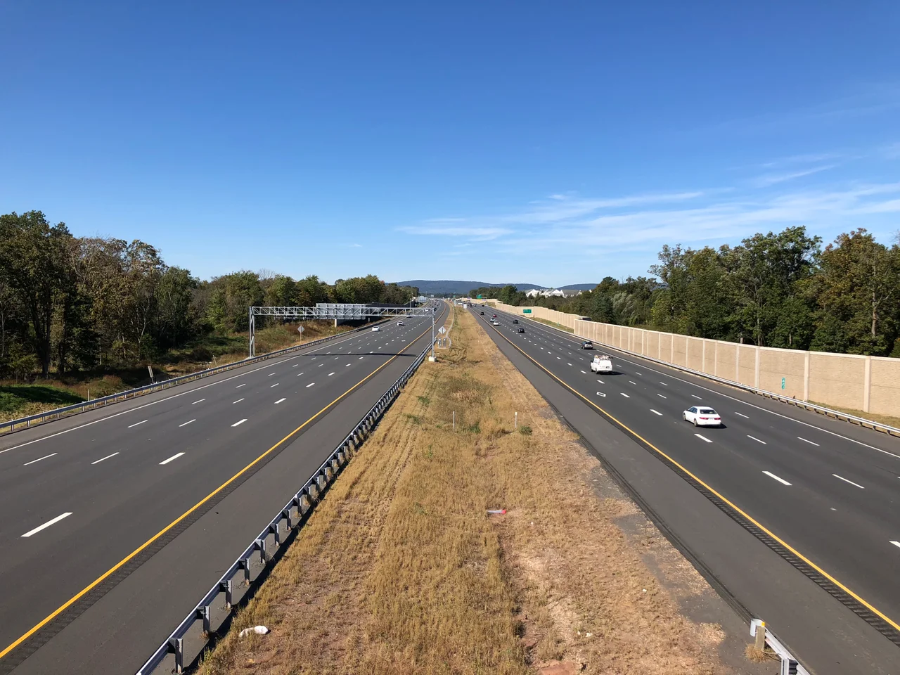
_in_Gainesville,_Prince_William_County,_Virginia.jpg)
Prince William County, Virginia
Prince William County is the only place in Virginia where you can stand on the ground where the United States Marine Corps tells its story in a building shaped like the flag-raising at Iwo Jima, then drive twenty minutes to ground where 5,000 American soldiers died in two days in 1862 fighting one another. It is also the second most populous county in Virginia and was the first to become majority-minority, with non-white residents - Hispanic, African American, and Asian - holding the majority since 2012. Disney once tried to build a theme park here; local preservationists, citing the Manassas battlefield, stopped them. The county is named for Prince William, Duke of Cumberland - the youngest son of King George II.
From Doeg Villages to Tobacco
The Algonquian-speaking Doeg people lived in villages along the Potomac before European disease and firearms drove them out by 1700. Prince William County was created in 1731 from the western half of Stafford County, an act of the Virginia General Assembly that initially covered everything that would become Arlington, Fairfax, Fauquier, and Loudoun counties, plus the cities of Alexandria, Fairfax, Falls Church, Manassas, and Manassas Park. The original county was huge. It was then progressively split: Fairfax came off in 1742, then Loudoun in 1757, then Fauquier in 1759. By the 1790 census the county was 58% white, with most of the remainder enslaved. Tobacco had exhausted the soil. Planters were already turning to mixed crops. The county settled into a long rural agricultural period that lasted, with various interruptions, until the late 1930s, when suburban housing development arrived from the federal government's growth in Washington.
The Bull Run Battles
Both Battles of Manassas were fought here - First Manassas on July 21, 1861, the first major land battle of the Civil War, and Second Manassas on August 28-30, 1862. Together they accounted for over 25,000 American casualties. Manassas National Battlefield Park now preserves the ground, including the Stone House at the intersection of the Warrenton Turnpike and Sudley Road, the Henry Hill where Stonewall Jackson got his nickname, and Chinn Ridge where the Union army broke and fled. Bristoe Station Battlefield Heritage Park, just south, preserves a smaller October 1863 engagement. The county also holds Brentsville Historic Centre, Rippon Lodge, Ben Lomond, and Lucasville historic sites - each anchoring a small piece of pre-war or Civil War-era Virginia life that the suburban growth of the late twentieth century did not erase.
Disney and the Battlefield
In November 1993 the Walt Disney Company announced plans for Disney's America, a $650 million theme park dedicated to American history, on a 3,000-acre site in the Haymarket area just west of Manassas. The project would have included a roller coaster simulating a Civil War battle, a recreation of a Native American village, and replicas of historic American buildings. Local opposition was immediate and ferocious. Civil War preservationists pointed out that the site sat directly between the Manassas battlefield and Thoroughfare Gap, on ground where troops had marched during the campaigns of 1861 and 1862. A coalition including Ken Burns, David McCullough, Robert Duvall, and Senator John Warner opposed the project publicly. The federal Advisory Council on Historic Preservation came out against it. In September 1994 Disney withdrew. The local businessman William B. Snyder bought the land from Disney, sold most of it to developers, and donated 405 acres to the Boy Scouts, who turned it into Camp Snyder. The Civil War battlefield was preserved by stopping a theme park.
The Marines and the Wild
The southern part of Prince William County belongs to the federal government. Marine Corps Base Quantico, where every Marine officer trains, occupies a huge slice of the county along the Potomac, and the National Museum of the Marine Corps in Triangle - free to the public - opened in 2006 with a roof shaped to evoke the Iwo Jima flag-raising. The FBI Academy and FBI Laboratory share the Quantico footprint. Prince William Forest Park, established in 1936 as the Chopawamsic Recreational Demonstration Area, is the largest protected natural area in the Washington metro region - over 15,000 acres of oak and hickory forest with hiking trails, log cabins built by the Civilian Conservation Corps, and the bunkered remains of WWII Office of Strategic Services training camps. Featherstone and Occoquan Bay national wildlife refuges protect tidal marsh along the Potomac. Leesylvania State Park sits on the ancestral home of the Lee family.
The Demographic Turn
Prince William County grew faster than almost anywhere else in Virginia during the early 2000s - 43% between 2000 and 2010. By 2012 it was the first majority-minority county in the state. Hispanic residents now make up over 25% of the population; Black residents 20%; Asian residents 10%. The median household income is the 24th highest of any county in the United States. Politically the county swung Democratic in 2008 with Barack Obama's victory - the first Democratic presidential carrier since 1964 - and has remained so since, reaching 62.6% for Joe Biden in 2020. The 2017 state legislative election, in which Democrats won five of six previously Republican delegate seats in the county, made national news as a leading indicator of suburban realignment. Northern Virginia FC plays minor-league soccer in Woodbridge. The old Dominion Speedway, opened in Manassas in 1948 and host of NASCAR Grand National events in the late 1950s, closed in 2012 after noise complaints from the surrounding subdivisions.
From the Air
Prince William County, Virginia, occupies roughly 38.70 N, 77.40 W, in Northern Virginia along the Potomac River. Recommended viewing altitude is 3,500 to 5,000 feet AGL to see the layout - Manassas Battlefield Park in the north, the Marine Corps base and museum in the south, Prince William Forest Park in the east-center, and the Potomac forming the eastern boundary. The nearest airport is Manassas Regional (KHEF), centrally located. Quantico MCAS (KNYG) restricted airspace covers the southern county - check NOTAMs. Dulles International (KIAD) lies 15 nm north. The Iwo Jima-inspired roof of the National Museum of the Marine Corps in Triangle is a distinctive landmark. Best light for the Manassas battlefield is mid-morning.
Nearby Stories
- Long Branch Plantation 2.3 km away
- Stafford County, Virginia 6.6 km away
- Surratt House Museum 8.2 km away
- Battle of Cedar Mountain 11 km away
- Leesburg, Virginia 11 km away
- The Inn at Little Washington 11 km away
- Menokin 57 km away