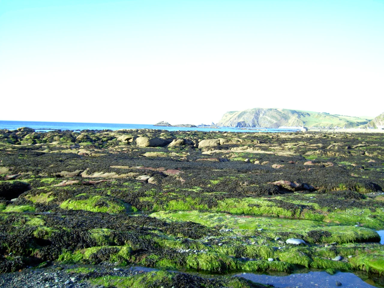

Gardenstown
Locals call it Gamrie. Maps call it Gardenstown. Either way, the village clings to a notch in the Aberdeenshire cliffs in a way that looks impractical until you understand the logic: in 1720 Alexander Garden founded the harbour first, and the houses came down the slope to meet the boats. Three centuries later the boats are fewer, the houses are more, and Gardenstown is the largest of three small settlements strung along this stretch of coast - the other two being Crovie just to the east and Pennan a little further on. Population in 2020: 560. Mobile signal: still none.
The Cliffside Geography
Gardenstown sits where a narrow burn cuts down through the cliff to the sea, splitting the village into upper streets along the headland and lower terraces that step down toward the harbour. The B9031 - the dramatic coast road from Banff to Fraserburgh - runs along the top, and a single steep road drops to Main Street and the water. The harbour itself is small. Most of the houses face north toward the Moray Firth, and the cliff behind them rises straight up. You park where you can. The Watermill Coach 273 runs from Banff and Macduff five times each weekday and terminates on Main Street; the Fraserburgh bus has been cut. To reach Pennan or the cliffs at Troup Head, you need wheels of some kind - a bike will do.
Crovie, the Single Row
East of Gardenstown along the clifftop path lies Crovie - one of the most photogenic villages in Scotland and one of the smallest. A single row of fishermen's cottages built directly onto the rocks, no road between them and the sea, no road in front of them at all. You walk in. The pier was wrecked in a storm in 1953, and Crovie's fishing trade ended that night. The cottages survived, became holiday homes, and now sit in a row so narrow there is no space for a car to turn around. Visitors are asked to use the south end car park and not attempt the village lane. Walk in along the cliff. Walk back out the same way.
Pennan and the Red Phone Box
A little further east, Pennan is even smaller - another single row of cottages on a shelf of land below the cliff. It was Fenness in the 1983 film Local Hero, the village where a Texan oil executive was sent to buy up the land and was slowly bought instead by the place itself. The red phone box on the quay became one of British cinema's most recognised props - the only line out for a city slicker whose certainties were stretching thin. The beach scenes were filmed on the other side of Scotland near Mallaig, but the phone box was real. The phone box is still there. The mobile signal still isn't.
Troup Head and the View
Out on the headland between Gardenstown and Pennan, Troup Head rises to seabird cliffs that hold Scotland's mainland gannet colony. Layers of fortifications have perched on this pinchpoint above the cliffs from perhaps the 7th century BC onward, ending with an 18th-century gunnery emplacement. Only earthworks remain visible. You come for the view rather than the archaeology - the long arc of coastline running west to Banff and east to Pennan, the open North Sea to the north, the gannets diving past the cliff face if you happen to catch them feeding. A coastal path links Gardenstown along the cliff to Crovie and onward.
Eat, Drink, Sleep
Garden Arms on Main Street serves food daily until 8 PM and is the village's main pub. The Spar shop on Macduff Road handles the rest of the daily errands. For lodging, Harbour Cottage is self-catering right on the harbour and dog-friendly. Two Bears Cottage at 162 High Street is another self-catering option. The whole stretch of this coast - Gamrie, Pennan, Crovie - lives on quietness, on clifftop walking, on the dramatic light off the Moray Firth, and on the fact that very few people pass through. The phone signal that drove Local Hero's plot in 1983 has not arrived in 2023. Whether that is a problem or the point depends on why you came.
From the Air
Gardenstown lies at 57.6703 N, 2.337 W on the north coast of Aberdeenshire, on the south shore of the Moray Firth between Banff to the west and Fraserburgh to the east. From altitude the cliffs of Troup Head and the cluster of harbours - Gardenstown, Crovie, Pennan - are visible along a short stretch of dramatic coastline. Nearest airport is Aberdeen (EGPD) about 35 nm to the south-east; RAF Lossiemouth (EGQS) lies west along the firth. The B9031 coast road threads them all together.
Nearby Stories
- Cullen Viaduct 5.9 km away
- Fyvie Castle 7.8 km away
- Auchindoun Castle 18 km away
- German submarine U-58 (1938) 27 km away
- HMS Exmouth (H02) 35 km away
- Hill o' Many Stanes 42 km away
- HMS Daring (H16) 99 km away
- Longstone Lighthouse 204 km away