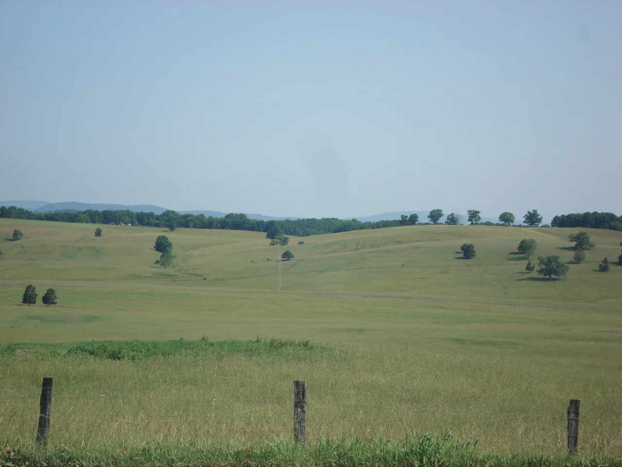

Grant County, West Virginia
Since Grant County was created in 1866, no Democrat has won 40 percent of its presidential vote. Not one. Franklin Roosevelt never cracked 26.8 percent in his four landslides. Lyndon Johnson got 37.8 percent in 1964, the year he won 44 states. The only Republican ever to lose Grant County was William Howard Taft in 1912, and only because Theodore Roosevelt split the party. The county was carved out of Hardy County the year after Appomattox and named for Ulysses S. Grant. The voting record suggests the founders meant it.
Born of the Civil War
The original Hampshire County, formed in 1754, was the oldest in what is now West Virginia. Hardy County split off the southern half in 1786. For most of a century the boundaries held. Then in 1866, with the Civil War just over and West Virginia three years old, the new state legislature carved Grant County out of Hardy's western mountains. The same year produced Mineral County, sliced from Hampshire. Together Grant and Mineral were the 51st and 52nd counties in West Virginia. Only Lincoln, Summers, and Mingo came later. The fiercely Unionist mountain communities that had pushed for separation from Virginia in 1863 finally had counties of their own - and they named one for the Union general who had just accepted Robert E. Lee's surrender at Appomattox the year before.
Mountains and Highways
Grant County sits in the high Alleghenies of eastern West Virginia, bordering Garrett County, Maryland to the northwest and a half-dozen West Virginia counties on its other sides. U.S. Route 48 (Corridor H) and U.S. Route 50 cross the county east-west. U.S. 220 and West Virginia Routes 28, 42, 55, and 93 connect Petersburg, the county seat, to the surrounding ridges. Substantial parts of the Monongahela National Forest fall inside the county, including portions of the Spruce Knob-Seneca Rocks National Recreation Area to the southwest. The 2020 census counted 10,976 people across the whole county - one of West Virginia's smaller populations, distributed across a landscape that gives most residents more square miles of forest than neighbors.
The Flood of 1985
On November 4 and 5, 1985, what should have been Election Day became one of the deadliest natural disasters in West Virginia history. The remnants of Hurricane Juan stalled over the Appalachians, drenching the high mountains. The South Branch Potomac, a normally shallow river with a flood stage of seven feet at Franklin in neighboring Pendleton County, crested at 22.6 feet. The National Weather Service later determined that most of the 47 people killed in the floods died in Pendleton and Grant counties - drowning in flash floods that hit narrow valleys with little warning. The damage redrew bridges, roads, and entire stretches of riverbank. Forty years later the rebuilt highways and dikes are still visible. So is the absence of communities that did not come back.
A Reliably Red County
Grant County's politics remain extraordinary. In 2024, Donald Trump received the highest percentage of the vote ever cast for a presidential candidate in the county, holding Kamala Harris to 10 percent. He had already done the same against Hillary Clinton in 2016 (10 percent) and Joe Biden in 2020 (11 percent). At the state level the county sometimes splits. Joe Manchin, a Democrat with deep rural appeal, carried Grant by more than 20 points in the 2008 gubernatorial election. But federal voting has been Republican by overwhelming margins for 160 consecutive years. The county is part of West Virginia's 2nd congressional district. Riley Moore, a Republican, holds the seat. The pattern that started when Grant County was named for a Union general has not broken once.
From the Air
Centered near 39.1 degrees north, 79.2 degrees west, in the high Alleghenies of eastern West Virginia. From 6,000 to 9,000 feet AGL the county shows the steep ridges of the Allegheny Front, the broad opening of the South Branch Potomac valley around Petersburg, and the high plateau near Mount Storm with its lake and wind farm. Nearest airports include Grant County (W99) at Petersburg, Greater Cumberland Regional (KCBE), and Elkins-Randolph County Regional (KEKN). Expect strong orographic effects in westerly winds.
Nearby Stories
- Seneca Rocks 7.8 km away
- Randolph County 9.4 km away
- Barbour County, West Virginia 17 km away
- Battle of New Market 22 km away
- Belle Grove Plantation 40 km away
- Battle of Fort Necessity 56 km away
- Gravity Hill 73 km away
- Whiskey Rebellion 92 km away