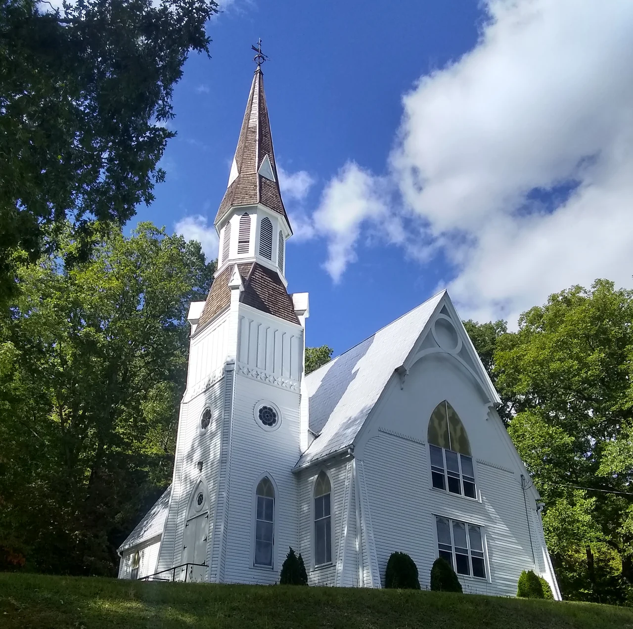

Randolph County
On July 11, 1861, a small Union force led by General William Rosecrans climbed a back trail to outflank a Confederate position on Rich Mountain in what was then western Virginia. The resulting Battle of Rich Mountain was tiny by later standards - perhaps a thousand engaged on each side - but it was, in important respects, the first significant Union victory of the Civil War. It happened in present-day Randolph County, which would not exist as part of West Virginia for another two years. The county that now covers 1,040 square miles of mountains, valleys, rivers, and one of the country's largest national forest tracts is the largest in West Virginia by area. It contains some of the most remote, ecologically unusual, and historically layered terrain in the Appalachian highlands.
A County Older Than Two States
Randolph County was created out of Harrison County in 1787 - while West Virginia was still part of Virginia, sixty-two years before there was an idea of West Virginia. It was named for Edmund Randolph, then governor of Virginia, who would later serve as the first U.S. Attorney General and the second Secretary of State under George Washington. The original county was vast, including parts of what are now eight other counties. Beverly served as the county seat until 1899, when the seat moved to Elkins after a decade of political and legal battles. The first European attempt at settlement in 1752 or 1753 - by David Tygart and Robert Foyle, whose names survive on the Tygart Valley River and Files Creek - ended in violence when a Shawnee party killed seven members of the Foyle family. The Tygart family escaped after being warned. European settlement did not resume here until 1772.
First Union Victory, First Confederate State
Western Virginia's geography - mountains and small valleys, with sympathies generally pro-Union - made it the first place in the Confederacy where Union forces could fight successfully on Southern ground. The 1861 Western Virginia Campaign included the Battle of Rich Mountain in Randolph County on July 11 and the Battle of Cheat Mountain in September. Both were Union victories. The campaign helped political leaders in the western counties make their case for separation from Virginia, leading ultimately to the admission of West Virginia as a new state on June 20, 1863. Randolph was among the fifty Virginia counties that became the new state. Its Civil War battlefields are now small, partially preserved historic sites - quiet places where the country was, briefly, decided.
Largest County, Smallest Population
Randolph covers 1,040 square miles - the largest county in West Virginia by area - and contains just 27,932 people as of the 2020 census. The population density is among the lowest in the state. Much of the county lies inside the Monongahela National Forest. The Cheat Mountain, Rich Mountain, Laurel Mountain, Shavers Mountain, and Point Mountain ridges divide the county into roughly parallel watersheds. The Tygart Valley River flows north toward the Monongahela. Shavers Fork and Laurel Fork drain the higher elevations. Cheat Mountain hosts the Gaudineer Scenic Area, a 140-acre tract of old-growth red spruce that escaped logging - a remnant of the spruce-hemlock forest that once covered the West Virginia highlands. Blister Run Swamp and the Shavers Mountain Spruce-Hemlock Stand are both National Natural Landmarks.
Helvetia, Little Italy, and the Sinks of Gandy
Some of the most unusual places in West Virginia are tucked into Randolph County. Helvetia, founded in 1869 by Swiss immigrants, still observes Swiss-German traditions; its Fasnacht parade each February pulls visitors from across the country. A small unincorporated community is named Little Italy, settled by Italian immigrants who worked in the coal mines. The Sinks of Gandy, a karst feature where Gandy Creek disappears into a cave for about three-quarters of a mile before re-emerging, is a hidden geological landmark in the county's northeast corner. Country music history is woven through too: Wilma Lee and Stoney Cooper, longtime Grand Ole Opry stars, came from Randolph County. So did Lemuel Chenoweth, the 19th-century covered bridge builder whose work survives across the state. The county is a remote, layered place; most of America has never heard of it, and the people who live here generally prefer it that way.
From the Air
Located at approximately 38.78N, 79.87W in the highlands of eastern West Virginia. Randolph County covers 1,040 square miles of mountain ridges and valleys, with elevations from about 1,500 feet in the lower Tygart Valley to over 4,800 feet on Cheat Mountain. Recommended viewing altitude is 7,500 to 10,500 feet for views of the long parallel ridges of the Allegheny Mountains. The Monongahela National Forest covers much of the county. Elkins-Randolph County Airport (KEKN) is the principal airport. Watch for ridge-induced turbulence, rapid weather changes in the highlands, and reduced visibility in cloud over the higher peaks - the conditions that have made aviation challenging in the West Virginia mountains for a century.
Nearby Stories
- Mountains and Lakes Country 3.8 km away
- Timberline Mountain 5.1 km away
- Germany Valley 5.5 km away
- Audra State Park 7.6 km away
- Snowshoe 9.8 km away
- Reddish Knob 19 km away
- Salem University 29 km away
- Richwood, West Virginia 30 km away