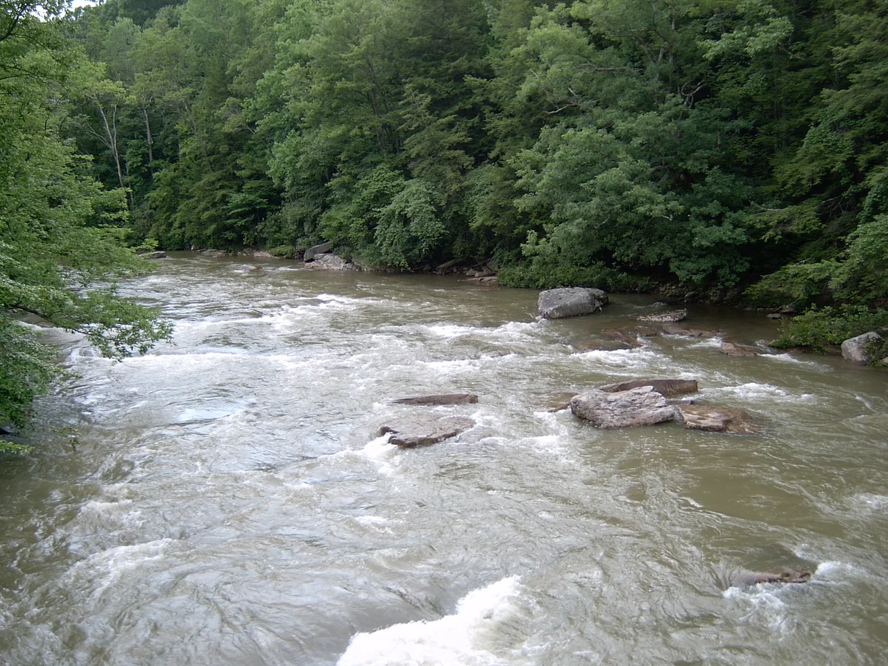

Audra State Park
The town of Audra is gone. The gristmill that used to turn here in the nineteenth century is gone too. But the spillway it carved into the Middle Fork River is still there, visible in the current. And around that vanished community and that surviving stonework, West Virginia built Audra State Park - 355 acres of secondary forest, sandstone ledges, and swimming holes in southwestern Barbour County, where summer afternoons in the deep pools have become a kind of inherited family ritual.
The Middle Fork Cuts Through
The park's defining feature is the Middle Fork River, which bisects the hilly terrain on its way north toward the Tygart Valley River. The Middle Fork has cut deep pools into the bedrock here, leaving large flat rocks along the banks that local teenagers and college students have used as natural sun decks for generations. The swimming hole just below the site of the former gristmill is the most popular spot - cold mountain water in summer, sandstone underfoot, and the kind of acoustics that bounce shouts off the surrounding hills. The town of Audra, once a small mill community along this river, faded after the gristmill closed. The state took the land and turned what remained into recreation.
Alum Cave on a Boardwalk
The park's most distinctive feature is Alum Cave - not a true cave but an overhanging sandstone ledge that creates a long, sheltered passage along the river. The state built a boardwalk under the overhang, letting visitors walk dry along the rock face and look up at the geology. The ledge's name comes from the alum minerals that historically seeped from the rock. The boardwalk is the kind of small but effective state-park infrastructure that does just enough to make a remarkable feature accessible without overengineering it. Walking the boardwalk on a hot afternoon, with the rock cooling the air and the river running just below, is one of the more pleasant short experiences in West Virginia state-park system.
Sixty-Seven Sites and a 6.6-Mile Run
Audra serves as the put-in for a 6.6-mile kayak run that follows the Middle Fork for about 2.8 miles before joining the Tygart Valley River for another 3.8 miles down to the confluence with the Buckhannon River. The run is moderate, scenic, and the kind of half-day trip that makes the park a base for paddlers as much as for swimmers. The campground holds 65 sites. A picnic area sits along the river. Hiking trails wind through the secondary forest that has regrown since the original timber was cut more than a century ago. The terrain is hilly enough to be interesting without being punishing - the kind of place built for weekend trips rather than expedition planning.
What the Park Has and Has Not
West Virginia University assessed the park's accessibility through its Center for Excellence in Disabilities. The campground, picnic area, and park offices were found to be accessible. The main swimming hole below the old gristmill site, however, is not - the rocks are wet and slippery, the approaches unpaved, and the geometry of the riverbank does not lend itself to ramps. The honest assessment is useful because it tells visitors what they can plan around. The park does not pretend the river is something it is not. For those who can manage the rocks, the swimming hole has been doing the same thing for decades. For everyone else, the campground and picnic area, the boardwalk through Alum Cave, and the hiking trails offer their own quieter versions of the park.
From the Air
Located at 39.04 degrees north, 80.07 degrees west, in southwestern Barbour County, West Virginia. Best viewed from 3,500 to 5,000 feet AGL. The park follows the course of the Middle Fork River - look for the river's distinctive incised channel through the hilly secondary forest. Nearest airports are Elkins-Randolph County (KEKN) to the southeast and North Central West Virginia (KCKB) at Clarksburg to the north.
Nearby Stories
- Weston and Gauley Bridge Turnpike 3.3 km away
- Canaan Valley 6.7 km away
- Spruce Knob-Seneca Rocks National Recreation Area 7.5 km away
- Tygart Valley Homesteads Historic District 10 km away
- Garrett County, Maryland 19 km away
- Salem University 20 km away
- Battle of Fort Necessity 59 km away
- West Virginia Penitentiary 64 km away