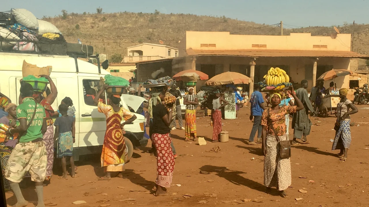

Kati, Mali
Most days, Kati is about cattle. Every week, herders drive their animals into one of southern Mali's busiest livestock markets, and the town fifteen kilometers northwest of Bamako hums with ordinary commerce. But Kati has always had two faces. Behind the market stalls stands a military camp, and from that camp, more than once, soldiers have set out to overthrow the government of Mali. To understand how a quiet trading town became the hinge on which the country's politics turns, you have to look at the barracks that have stood here for well over a century.
Tribute and Rebellion
Kati's story did not start with soldiers. In the early 17th century it belonged to a kingdom ruled by the Diara family, based in Nyamina. After the kafo of Bamako rose to prominence, the powerful Niare clan attacked Kati and forced it to pay yearly tribute in cattle and cowrie shells — an arrangement the town resented. Kati launched a rebellion against Bamako's dominance shortly before the French arrived in 1880, but the revolt failed, and by then the town was nearly uninhabited. It was a small place with a long memory, accustomed to living in the shadow of a larger neighbor down the road. That relationship with Bamako, so close and so fraught, would define Kati for centuries to come.
The Garrison Takes Root
The French turned Kati into a soldier's town. They established Camp Gallieni here, garrisoning the 2nd Regiment of Senegalese Tirailleurs — the African infantry who fought and died in France's colonial wars. On May 13, 1934, the town dedicated a war memorial to its dead from the First World War and the conquest of the Sudan. When Mali won independence, the French Armed Forces marched out on June 8, 1961, but the barracks did not fall silent. The new Malian Army moved in and founded a military school at the base. The uniforms changed; the purpose did not. Kati remained what the colonizers had made it: a place where Mali kept and trained its soldiers, close enough to the capital to march there in an afternoon.
The Town That Makes Presidents
That proximity has had consequences. Kati hosts the headquarters of the 3rd Military Region, and its camp has become the staging ground for Mali's coups. It was here, at the Soundiata military base, that soldiers began firing into the air on August 18, 2020, distributing weapons and arresting officers before driving on Bamako to depose President Ibrahim Boubacar Keïta. The town's fifteen-kilometer road to the capital, so convenient for a weekly cattle drive, has proven equally convenient for armored columns. When Mali's politics turn, they have a habit of turning first in Kati — a reminder that the country's center of gravity is not only in the presidential palace, but in the barracks on the hill above it.
Life Beyond the Barracks
For all its martial reputation, Kati is the largest town in the Koulikoro Region and a thriving community in its own right. Its population topped 114,000 in the 2009 census. The town sits on the historic Dakar-Niger Railway and the roads linking Bamako to Kolokani and Kita, making it a natural crossroads of trade. It supports military and civilian hospitals, numerous schools and a college, and a youth and arts center built with French cooperation. The population is mostly Muslim, with an established Roman Catholic community, and speaks Bambara. Kati has even given Mali some of its more glamorous names — the fashion couturier Chris Seydou was born here, as was the writer Doumbi Fakoly. It is, in the end, a real town with real lives, not merely a launch pad for history's larger dramas.
From the Air
Kati lies at roughly 12.75°N, 8.07°W, about 15 km northwest of Bamako in Mali's Koulikoro Region, on slightly higher ground above the capital. From the air, look for the urban cluster set apart from greater Bamako's sprawl, with the Niger River winding southeast through the capital. The nearest major airport is Bamako-Sénou International, ICAO GABS, on the far (southern) side of the capital. The Dakar-Niger Railway threads through town. Clearest viewing is in the dry season (November–April); the hottest, haziest months run February to May, when daytime highs routinely climb above 37°C.
Nearby Stories
- Narena 35 km away
- Siby, Mali 48 km away
- Nyamina 55 km away
- Niagassola 88 km away
- Morila Gold Mine 106 km away
- Boucle du Baoulé National Park 129 km away
- Tukulor Empire 143 km away
- Ségou 185 km away