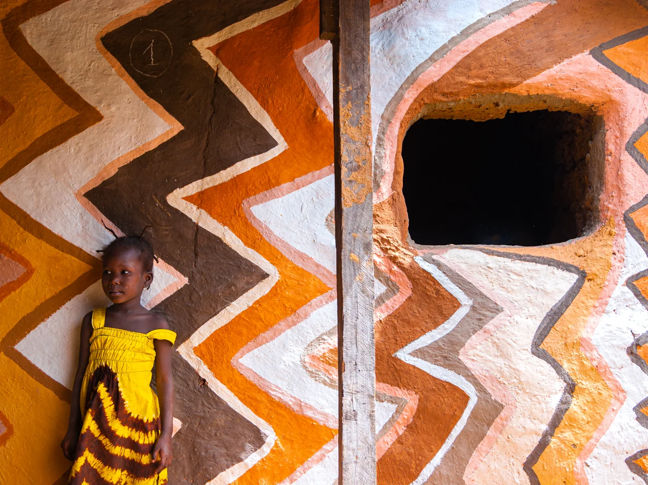

Siby, Mali
Legend says a king once split a mountain with his sword. On a sandstone ridge above the village of Siby, there is an arch carved clean through the rock, opening onto a sweeping view of the plain below. The Mandé tell it this way: on the eve of marching to war, the bard Balla Fasséké challenged each of the assembled kings to prove his strength, and Kamandjan Kamara, the king of Siby, drew his sabre and drove it through the stone. The arch is real. You can stand beneath it. Whether a blade made it or the slow patience of wind and water did is, in the Mandé telling, beside the point.
Where the Alliance Gathered
Siby was founded in the early Middle Ages by ancestors of the Camara clan, a Mandé village tucked on the plain just south of the Monts Mandingues, the Mandingue mountains. Its place in history comes from the Epic of Sundiata, the great oral poem of the Mandinka. Sundiata Keita, who would become the founder of the Mali Empire, had known Kamandjan Kamara since childhood, and it was here at Siby that Kamandjan brought together the kings allied against Soumaoro Kanté, ruler of the Sosso. Fresh from two victories over the Sosso, the allies gathered around Sundiata at Siby. After a few days of rest they marched on to Kirina, where the decisive battle was fought and the empire was won.
The Arch of Kamandjan
High on the ridge above the village stands the natural monument the legend made famous: the Arch of Kamandjan, a great opening worn through a sandstone massif that for generations served as a protective wall for the settlements below. From beneath it, the surrounding plain spreads out in a single breathtaking sweep. Today the arch draws visitors who come to scramble up the escarpment, to stand in the gap in the rock, and to feel the weight of the story attached to it. It is the kind of place where landscape and legend have fused so completely that you cannot quite see one without the other.
Down From the Cliffs
After the Mali Empire declined, the country around Siby was governed from the nearby city of Kangaba. Siby itself was not a single town but a scattering of fortified villages perched on top of the escarpment, defensible and watchful. That changed when the French colonized the region and built a road along the base of the cliff. Slowly, the clifftop communities came down to live beside the highway, and the modern town of Siby took shape from them, its neighborhoods still carrying the names and the people of the old villages above. The RN5 road that now runs through it links Bamako with Siguiri across the border in Guinea.
A Village That Keeps Talking
Siby has not retreated into its past. In the early 2000s it hosted the first two editions of the Forum des peuples, a gathering of activists and civil-society voices, in 2002 and 2003, putting this small Mandé village briefly at the center of international debate. The commune cooperates with the French town of Ramonville-Saint-Agne, another of the partnerships that quietly tie rural Mali to communities in Europe. Around the village, older marks of the past remain too: an old iron-smelting furnace, and the Anvil of Niekema, a rock formation overlooking the village whose names hint at the blacksmiths who were always central to Mandé life and lore.
From the Air
Siby lies at 12.38°N, 8.34°W, about 50 km southwest of Bamako on the plain south of the Monts Mandingues (the Mandingue plateau). From the air, look for the sandstone escarpment rising above the village; the Arch of Kamandjan is a natural opening worn through the rock along the ridge. The RN5 road toward Guinea threads through the town. The nearest major airport is Bamako-Sénou (GABS / Bamako–Modibo Keïta), roughly 60 km to the northeast. Best viewed at 2,500-4,500 ft AGL; the plateau's relief shows best in low-angle morning or evening light, and harmattan haze can reduce visibility in midwinter.
Nearby Stories
- 2020 Malian Coup d'État 23 km away
- Kangaba 28 km away
- Koulikoro 30 km away
- Niagassola 37 km away
- Bougouni 84 km away
- Siguiri 89 km away
- Morila Gold Mine 125 km away
- Boucle du Baoulé National Park 159 km away