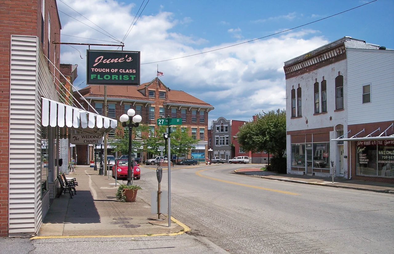

Kentucky Appalachians
Loretta Lynn was born in a cabin in Butcher Hollow. Naomi Judd raised her daughters in the hills near Ashland. Ricky Skaggs grew up in Cordell, Chris Stapleton near Paintsville, Keith Whitley in Sandy Hook - and the writers, Robert Penn Warren and Jesse Stuart, walked these same ridges and tried to put what they saw into prose. Whatever you call this corner of Kentucky - the state markets it as the Kentucky Appalachians, locals just call it Eastern Kentucky or the Eastern Coalfield - it has produced more enduring American voices per square mile than almost anywhere else in the country. The mountains insist on being heard.
Where Kentucky Gets Country
Kentucky is a country state by reputation, but Eastern Kentucky is where that reputation lives in the land itself. The terrain looks more like West Virginia than the rolling pastures and white-fenced horse farms most people picture when they hear the state's name. Ridges fold into hollows. Creeks cut their way down through layered sandstone. Roads bend along contours that older roads had to negotiate with mules. The Bluegrass region sits to the west, its limestone soil and gentler hills shaping a different kind of Kentucky entirely. Here, the geology is steeper, the soil thinner, and the human story has always pressed harder against the land.
The Voices the Hills Made
Robert Penn Warren, who won three Pulitzers and became America's first official Poet Laureate, came from a Kentucky that bordered this country and absorbed its rhythms. Jesse Stuart, born in W-Hollow in Greenup County, wrote thousands of poems and stories about these specific ridges - the schoolhouses, the tobacco patches, the neighbors. The musicians followed similar paths. Loretta Lynn's coal miner father worked the seams that defined Eastern Kentucky's economy. Naomi and Wynonna Judd left Ashland for Nashville but kept the harmonies they had absorbed from Pentecostal services and front-porch singing. Keith Whitley died young after a meteoric run that began with bluegrass legend Ralph Stanley. The list keeps growing because the music kept being made.
The Coalfield Underneath
The state government calls this the Kentucky Appalachians for tourism brochures. Locals know it as the Eastern Coalfield - a name that explains both the prosperity and the hardship. Coal built the towns, paid the wages, and shaped the politics. Coal also hollowed mountains, fouled streams, and left communities exposed when the markets turned. The hollows where Loretta Lynn was born are the same hollows where her father coughed his lungs out from black lung disease. The land that grew the music also broke many of the people who made it. Both truths sit in the songs.
The Knobs and the Edges
Mount Sterling marks an interesting boundary. The state map places it inside the Kentucky Appalachians, but locals consider it part of the Bluegrass - that older, locally-defined Bluegrass rimmed by a circular chain of hills called The Knobs. Mount Sterling sits west of the eastern stretch of those Knobs, in the transition zone where horse country bumps against mountain country. These boundary debates matter to people who grew up here. The geography is not abstract. A ridge can separate one church from another, one accent from another, one economy from another. Calling a place by the right name is a form of respect.
Reading the Land from Above
From cruising altitude, the Kentucky Appalachians read as a vast textured carpet of ridges running roughly northeast to southwest - the trailing edge of the same Appalachian mass that defines West Virginia and eastern Tennessee. River valleys cut white scars through the green. Strip-mine scars cut other patterns, geometric and lighter in color, where mountaintops have been removed and replaced with engineered plateaus. In the hollows, narrow strings of houses follow creeks. The roads connect the dots. This is one of the most distinctive American landscapes seen from the air, and the music made here is the most distinctive American music for many of the same reasons.
From the Air
Centered near 37.99 degrees north, 82.83 degrees west, in the heart of eastern Kentucky's Big Sandy watershed. Recommended viewing altitude 8,500 to 12,500 feet AGL to see the full pattern of ridges and hollows. Nearby airports include Big Sandy Regional (KSJS) at Prestonsburg, Ashland Regional (KDWU), Tri-State (KHTS) at Huntington, West Virginia, and Pikeville-Pike County (KPBX). Morning visibility is often hazy in summer due to humidity rising from the hollows; afternoons in autumn give the clearest views of the layered ridgelines.
Nearby Stories
- 1993 East Carter High School Shooting 12 km away
- Mingo County, West Virginia 13 km away
- Prestonsburg, Kentucky bus crash 15 km away
- Morris Memorial Hospital for Crippled Children 18 km away
- Hobet Coal Mine 25 km away
- The Kentucky Meat Shower: When Flesh Fell From a Clear Sky 38 km away
- Battle of Blue Licks 60 km away
- Cumberland Gap 136 km away