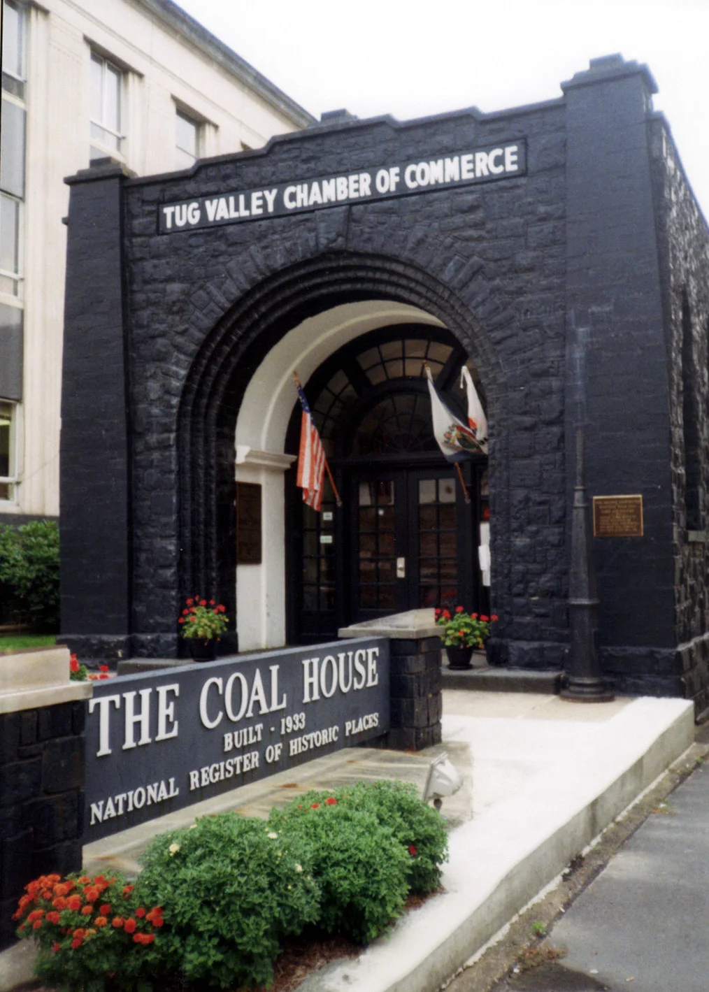

Mingo County, West Virginia
Mingo is the youngest of West Virginia's fifty-five counties — younger than the state itself by a generation. The state legislature created it in 1895 by carving five magisterial districts out of neighboring Logan County, and named it for the Mingo, the Iroquoian people whose villages had ranged across the Ohio River watershed before European settlement pushed them out. The county that resulted holds the Tug Fork border with Kentucky, the historic shootout town of Matewan, and a political and labor history that is essentially the history of central Appalachian coal compressed into 424 square miles.
Born from Logan
Mingo's five original districts — Hardee, Harvey, Lee, Magnolia, and Stafford — were assembled from parts of Logan County's older districts and from former civil townships. West Virginia had tried to organize itself by New England-style townships when it joined the Union in 1863, but the topography defeated the experiment within a decade. The hills here are too steep and the population too thinly scattered for town-meeting government. The state switched to magisterial districts in 1872. Mingo, being created later, never had townships at all. The Williamson seat sits at the western end of the county on the Tug Fork. Mingo's western boundary is the river itself, and across the water lies Kentucky's Pike and Martin Counties — Hatfield and McCoy country in the literal sense.
The Bloodiest County
Mingo County native Jeremy T. K. Farley titled his 2014 book The Ghosts of Mingo County and called this place the bloodiest county in America. He was thinking of Matewan in 1920, of the marches that led to the Battle of Blair Mountain in 1921, of the Hatfield-McCoy feud whose patriarch Anse Hatfield lived here, and of the long string of coal-mine disasters and labor confrontations that punctuated the twentieth century. Sid Hatfield — Matewan's police chief, no direct relation to Anse — is on the county's list of notable people, remembered as the man who stood between the union miners and the Baldwin-Felts detectives until detectives shot him dead on the Welch courthouse steps in 1921. The mine wars are not distant memory in Mingo. They are family memory.
Politics on a Pivot
For 110 years after its creation, Mingo voted Democratic almost without exception. Logan, the parent county, had been deeply secessionist in 1861, and the coalfield unionism of the New Deal era kept its successor reliably blue through the twentieth century. In 1984, when Walter Mondale lost forty-nine states, Mingo gave him a two-to-one majority. The shift since 2000 has been one of the most dramatic in American politics. In 2012, when Barack Obama appeared on the Democratic primary ballot against Keith Russell Judd — a federal inmate at the time — Judd carried more Mingo votes than the sitting president. By 2020 Joe Biden lost the county by more than seventy percentage points. In 2024, Mingo was the second-most Republican county in West Virginia.
The Opioid Years and What Comes Next
In 2016, Mingo County was named one of the places in America most touched by opioids. The federal civil suits that followed exposed the volume of prescription painkillers shipped to small Mingo County pharmacies — millions of pills for a county of fewer than 25,000 people. The 2020 census counted 23,568 residents, down sharply from a 1950 peak when coal employment was at its height. There are signs of new investment: in 2023, Senator Joe Manchin announced funding for the Adams Fork Energy clean ammonia project, which would be the second-largest such facility in the nation. Whether Mingo can build a future out of ammonia, tourism at Matewan, and the Hatfield-McCoy ATV trails that now bring weekend riders into hollows the railroads used to serve remains the open question. The hills, at least, do not change.
From the Air
County centered near 37.73N, 82.14W, with the Tug Fork forming the western and northern border with Kentucky. Elevations range from about 600 feet along the Tug Fork to 2,500 feet on the ridges. Recommended viewing altitude 5,500-7,500 feet MSL. From the air the coal-camp settlement pattern is unmistakable: linear strings of houses tracing every creek bottom. Nearest airports: Williamson-Mingo (6L4), Mercer County (KBLF). Mountain VFR essential; the valleys fog in routinely after sundown and before mid-morning.
Nearby Stories
- National Coal Heritage Area 6.5 km away
- Prestonsburg, Kentucky bus crash 9.7 km away
- Hobet Coal Mine 16 km away
- Yatesville Lake 17 km away
- 2002 Appalachian School of Law shooting 18 km away
- Alice Lloyd College 26 km away
- Upper Big Branch Mine Disaster 26 km away
- Bluefield, Virginia 33 km away