
Koh Kong Island
No one is supposed to sleep here. Koh Kong Krao - Outer Koh Kong, as Cambodians call it to distinguish the island from the mainland town that shares its name - covers about 100 square kilometres of the Gulf of Thailand and carries 53 kilometres of coastline, and along none of it is there a hotel. The northern end is a military installation, and overnight stays are not legal. Boats leave Koh Kong town, cross in roughly forty minutes, and come back the same day. What lies in between is the thing that has become genuinely difficult to find on this coast: an island the developers have not reached yet.
Cut Loose from the Cardamoms
Look at Koh Kong Krao on a chart and it reads less as an island than as a piece of the mainland that the sea got behind. The strait at its northern end, marked on old French charts as the Passe de Lamdam, is under 500 metres across; the southern tip sits less than four kilometres off the coast. Slip through that northern gap and you enter the Bay of Koh Kong, a sheltered basin of some 135 square kilometres pressed between the island and the Cardamom Mountains behind it. The island stretches 19.5 kilometres north to south and averages five to seven across, and its interior is genuinely hilly - the northern high point reaches 360 metres, enough relief to throw off waterfalls where the rock breaks. Those streams run down to freshwater estuaries and lagoons rather than straight into the sea, which is why the beaches here behave so oddly.
Six Beaches and a Freshwater Line
The western shore holds six beaches, and most of them have a lagoon of their own sitting just behind the sand, fed by rivers coming down off the peaks. You can swim in salt water and rinse in fresh without walking a hundred metres. From October to late May the Gulf here stays mild, with moderate wind and moderate swell, and the water is clear enough for snorkelling; in the low season the surf runs a long way up the sand, though the rain is not the constant curtain outsiders expect - it comes and goes, and the sun comes with it. Three small fishing settlements share the whole island. Alatang sits on the southeastern corner, Phumi Koh Kong on the west coast, and on the eastern shore is Phumi Thmei, which in Khmer simply means new village.
The Ecoregion Holds
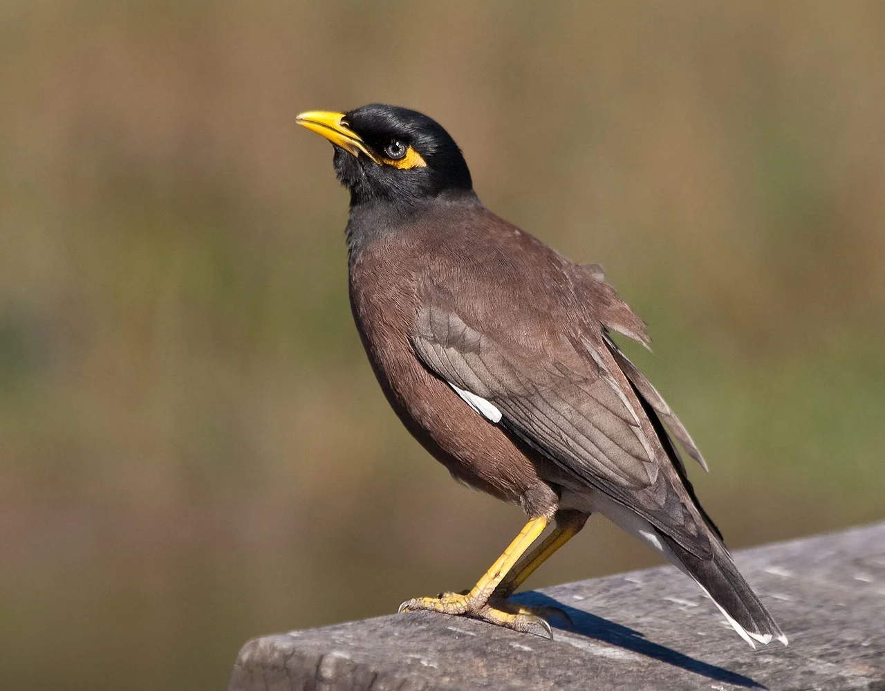
Koh Kong Krao belongs to the Cardamom rainforest ecoregion, and the monsoon blowing in off the Gulf keeps it in evergreen tropical forest year-round. Macaques move through the canopy, wild boar work the undergrowth, and squirrels are everywhere; overhead there are hornbills, mynahs and small parrots. Atlas moths - Attacus atlas, among the largest moths on Earth by wing area - turn up here too. Along the eastern coast and around the bay the forest gives way to mangrove, tangled and extensive, and that is where the food chain really begins. Offshore, patches of coral and seagrass scatter across the shallows. Whale sharks pass through, harmless filter feeders that alarm swimmers who do not know them. So do sea turtles, dugongs grazing the seagrass, and three cetaceans in trouble almost everywhere else they occur: Irrawaddy dolphins, finless porpoises and Indo-Pacific humpback dolphins.
A Decision Not Yet Made
The emptiness is not an accident, and it is not guaranteed. In June 2020 the Cambodian government stood up a committee under the Minister of Environment specifically to review and oversee construction and development proposals for Koh Kong Krao, because the island falls inside a Special Economic Zone designed to encourage exactly that. The waters around it were expected to be declared a marine national park in 2021; that designation has not visibly followed. What the alternative looks like is a short flight east, on the Botum Sakor peninsula. Botum Sakor National Park is Cambodia's largest at 1,825.85 square kilometres, protected since 1993 - and it lost roughly 229 square kilometres of evergreen forest to illegal logging between 1997 and 2002 alone, before a Chinese developer signed a 99-year concession over 36,000 hectares of it in 2008. Koh Kong Krao is still whole. That is a choice, not a condition.
From the Air
Koh Kong Island lies at 11.33°N, 103.00°E in the Gulf of Thailand, roughly 20 km southwest of Koh Kong town. It reads unmistakably from the air: a 19.5 km green ridge running north-south, separated from the mainland at its northern tip by the Passe de Lamdam, a strait under 500 m wide that from 5,000 ft looks like a river. The 360 m high point sits in the north; the six west-coast beaches show as pale breaks in the forest, several with dark lagoons behind them. East of the island, the Bay of Koh Kong is fringed with mangrove and shoals green over sand. Best viewing altitude is 3,000-6,000 ft. Dara Sakor International (VDDS), on the Botum Sakor peninsula to the east, is the nearest operating airport; Koh Kong's own strip beside the town (VDKK) is an abandoned dirt runway. Sihanouk International (VDSV) lies further east along the coast, and Trat (VTBO) is the nearest Thai field, north across the border. Expect afternoon convection and low cloud over the Cardamoms from May to October, and the clearest air from December to February.
Nearby Stories
- Hat Lek 10 km away
- Koh Kong province 16 km away
- Cheay Areng Dam 17 km away
- Koh Sdach 31 km away
- Sihanoukville Autonomous Port 50 km away
- U-Tapao: The Airfield Built on a Shipyard 185 km away
- The Sanctuary of Truth: One Man's Unfinished Cathedral 238 km away
- Lampi Island Marine National Park 444 km away