Lake Tanganyika
The ferry is older than most of the countries on its route. The MV Liemba, German-built and launched before the First World War, historically worked a weekly circuit up and down Lake Tanganyika - leaving Kigoma on Wednesday afternoons and arriving in Mpulungu on Sunday. The Liemba has been out of service since 2018 undergoing a major renovation expected to return it to operation by 2026. Travellers fly across continents just to board it. Some come to the lake mainly for the ship. The lake itself is a thin blue line on the map, 676 kilometers long and oriented almost perfectly north-south, a freshwater rift that is the longest of its kind on Earth and the second deepest and second largest by volume - in both cases behind only Lake Baikal, half a world away in Siberia.
Four Countries, One Lake
Tanganyika's shoreline crosses four national borders. Most of the east coast is in Tanzania. Burundi holds a sliver at the northeast tip where Bujumbura, the country's largest city, meets the water. Most of the west coast is in the Democratic Republic of the Congo, including Kalemie in the central reach. Zambia holds the southern end at Mpulungu. The lake is narrow - nowhere is it so wide that the other shore disappears for long from a boat - and yet getting from one side to the other is complicated by the region's politics. Four countries, four visa regimes, and in the DRC's Kivu and Katanga regions significant safety concerns. Most travellers arrive through Tanzania. Dar es Salaam is the nearest airport with good international connections, and from there a plane or train carries visitors to Kigoma on the eastern shore.
Riding The Liemba
The Liemba is a legend in East and Central African travel - a steamer that has served the lake for over a century under three names, two empires, and many flags. Her schedule is part of the experience: Kigoma on Wednesday afternoon, Mpulungu on Sunday, with dozens of stops in between where smaller boats come alongside to trade passengers and goods because there is no dock. At Lagosa, a village with no paved road, travellers going to see the chimpanzees of the Mahale Mountains disembark into canoes. At Kasanga and Kipili and the other small stops, market women bargain from one vessel to the other in the dark. Another ferry, less storied, connects Kigoma north to Bujumbura. The rhythm is slow. Bring books. Bring patience.
Towns Along The Shore
Bujumbura is the northern anchor, capital of Burundi, close to where the Ruzizi River pours in from Lake Kivu. Kigoma in Tanzania is the northern ferry terminus and the main travellers' base on the east side. Kalemie, on the Congolese shore, has its own small airport and a rail connection inland, but the security situation in Katanga has kept most visitors away. Lagosa, little more than a village, matters because it is the jumping-off point for Mahale Mountains National Park. And Mpulungu at the Zambian south end is the ferry's southern terminus and a trading port for landlocked Zambia. Plans have long existed to extend rail lines from Bujumbura up to Kenya and Uganda and from Mpulungu down to Lusaka, but as of the last available reporting those projects remain on paper.
A Very Deep, Very Old Place
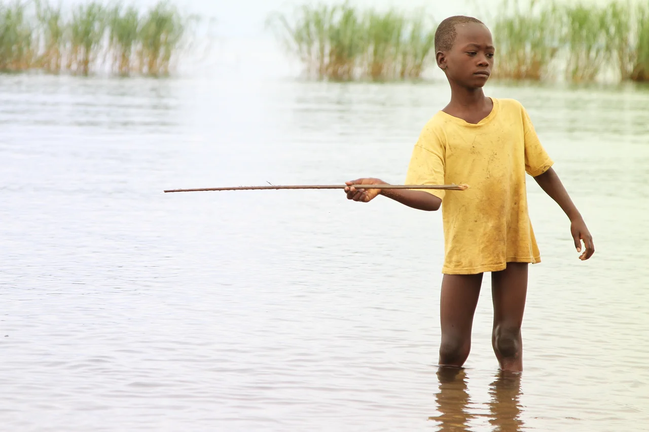
Tanganyika is ancient - one of only twenty lakes on Earth more than a million years old - and it is very, very deep. Its dark, alkaline water drops well past the oxygen line, leaving the lower reaches lifeless and filled with toxic hydrogen sulphide. What lives above that line is extraordinary: at least 250 species of endemic cichlid fish, roughly 98 percent of them found nowhere else, making the lake a textbook example of adaptive radiation in biology. Local fishermen still work the shallows with lantern boats, drawing pelagic sardines to the light from three-canoe formations that have been described for more than a century. From a cruising ferry, the headlamps scattered across a moonless lake look like a second sky slipped beneath the first.
From the Air
Located along 6.1°S, 29.5°E, the lake runs 676 km north-south from Bujumbura (ICAO: HBBA) to Mpulungu. Key airports along the shore: Bujumbura (HBBA) in the north, Kigoma (HTKA) mid-east, Kalemie (FZRF) mid-west. Lake surface elevation 773 m. From cruise altitude Tanganyika appears as a deep-blue, almost knife-thin line bordered by forested escarpments; in clear weather the entire length is visible only from high altitude. The lake generates strong afternoon thunderstorms, particularly in the wet season (November to April).
Nearby Stories
- Mahale Mountains 20 km away
- Mpala 50 km away
- Karema, Tanzania 82 km away
- Tanganyika Province 93 km away
- Niemba Ambush 150 km away
- Lukuga River 212 km away
- Kipupu Massacre 251 km away
- Battle of Tabora 335 km away