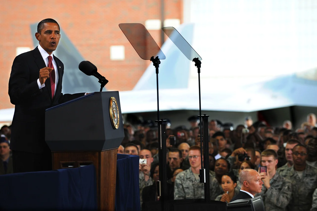

Langley Air Force Base
Samuel Pierpont Langley died on February 27, 1906, a broken man. His steam-powered Aerodrome had pitched off a houseboat catapult into the Potomac twice in 1903 - the second failure on December 8, and nine days later the Wright Brothers' Flyer lifted off at Kitty Hawk. Langley had spent decades trying to win that race. The Smithsonian secretary went to his grave believing he had been beaten by inches. So when the Army selected a flat patch of Elizabeth City County, Virginia in 1917 for the first Air Service base built specifically for air power, they named it after him. Langley Field has been operating continuously ever since. No other air force base in the world has been active longer.
Hunters and Fishermen
The selection process was a piece of light theater. In 1916 the National Advisory Committee for Aeronautics, NASA's predecessor, told the Army it needed a joint airfield and proving ground that sat near deep water for overwater flights, was flat enough for runways, and was close to an Army post. A board of officers scouted fifteen sites. They sometimes traveled disguised as hunters and fishermen, because the moment Washington's interest in any parcel of land became public, the price would triple overnight. They settled on a 3,152-acre site outside Hampton in the spring of 1917, three weeks before America entered World War I. The site sits between the cities of Hampton to the south, NASA Langley Research Center to the west, and the two branches of the Back River wrapping around it.
Jennies, DH.4s, and Dirigibles
By late 1918, Curtiss JN-4 "Jennies" lined the ramp for the Langley School of Aerial Photography, and de Havilland DH.4 bombers - American-built versions of the British design - rolled in beside them. Hydrogen-filled dirigibles operated from a vast hangar in what is still called the LTA area, for lighter-than-air. Pilots learned how to scout submarines from biplanes. Photographers learned how to develop film that had been shot at altitude. The school for aerial observers trained men to do work that did not exist a decade earlier. The Air Service Tactical School, which moved here in 1920, became the intellectual center of American air power between the wars. The doctrine that General Curtis LeMay and his contemporaries would eventually take to Tokyo and Berlin was hammered out in Langley classrooms.
First Fighter Wing
Langley has been home to the 1st Fighter Wing since 1977. The 1st Operations Group's three squadrons trace lineages back to World War I - the 27th and 94th Fighter Squadrons both fly F-22 Raptors from Langley, and the 71st Fighter Training Squadron flies T-38 Talons. The 94th was Eddie Rickenbacker's old Hat-in-the-Ring squadron from 1918, where America's leading ace of the Great War shot down 26 enemy aircraft. On February 4, 2023, an F-22 Raptor took off from Langley and shot down a Chinese high-altitude surveillance balloon over the Atlantic off South Carolina. It was the F-22's first combat air-to-air kill, more than two decades after the airframe entered service. The Air Force Distributed Common Ground System - the global intelligence-fusion network that the 480th ISR Wing operates from Langley - now reaches from Hawaii to South Korea to Germany.
Joint Base Langley-Eustis
In October 2010, under the 2005 Base Realignment and Closure law, Langley Air Force Base merged with the Army's Fort Eustis a few miles up the peninsula. The combined installation is now Joint Base Langley-Eustis. The 633d Air Base Wing handles installation support for both. Fort Eustis trains Army transportation and aviation soldiers; Langley flies the air superiority mission. Headquarters Air Combat Command - the command that controls the bulk of the Air Force's fighter and bomber inventory - is also based at Langley. It is one of the most consequential offices in American defense, and it sits a few hundred yards from the Back River.
The Rising Sea
Langley sits at an average elevation of three feet. The base has experienced 14 inches of sea-level rise since 1930, and Air Force climate planners now include sea-level adaptation in installation master planning. Some of the older revetments and dispersal ramps now flood during king tides. The Virginia coast is one of the fastest-subsiding stretches of the East Coast - the land is sinking even as the ocean rises - and Langley is on the front line of that math. The City of Hampton has spent years buying privately owned property within the F-22 accident-potential zones around the base, partnering with the Commonwealth and the Air Force to build a safety buffer without using eminent domain. Each spring "AirPower over Hampton Roads" fills the sky over the base with F-22 demonstrations, aerobatics, and parachute teams. The crowds come for the noise. The base stays open because, against the rising water, it has to.
From the Air
Langley AFB (KLFI) sits at 37.083N, 76.36W, on a peninsula formed by the Back River north of Hampton. From altitude the airfield is recognizable by its single long runway angled northeast, the cluster of fighter shelters along the southwest ramp, and the adjacent NASA Langley wind tunnels with their distinctive geodesic and cylindrical structures. The base is inside Joint Base Langley-Eustis Class D airspace, heavily restricted; civilian overflight requires careful coordination. Newport News/Williamsburg International (KPHF) is nearby for general aviation; Norfolk International (KORF) lies south across Hampton Roads.
Nearby Stories
- Battle of Gloucester Point (1861) 3 km away
- Coast Guard Station Cobb Island 3 km away
- Flowerdew Hundred Plantation 11 km away
- Great Dismal Swamp 11 km away
- Cape Charles Lighthouse 14 km away
- False Cape State Park 17 km away
- Cactus Hill 29 km away
- Chowan University 35 km away