
Lệ Thủy
Two men from the same stretch of river plain ended up on opposite sides of the twentieth century. Võ Nguyên Giáp was born in the village of An Xá on 25 August 1911, in the old canton of Đại Phong Lộc, and went on to command the army that broke the French at Điện Biên Phủ. From Đại Phong in that same canton came the Ngô Đình family — Ngô Đình Khả, and his son Ngô Đình Diệm, the first president of South Vietnam. Lệ Thủy is a modest place: rice fields, a slow river, sand dunes, fishing hamlets. It supplied the century with both of its answers.
Water in Every Name
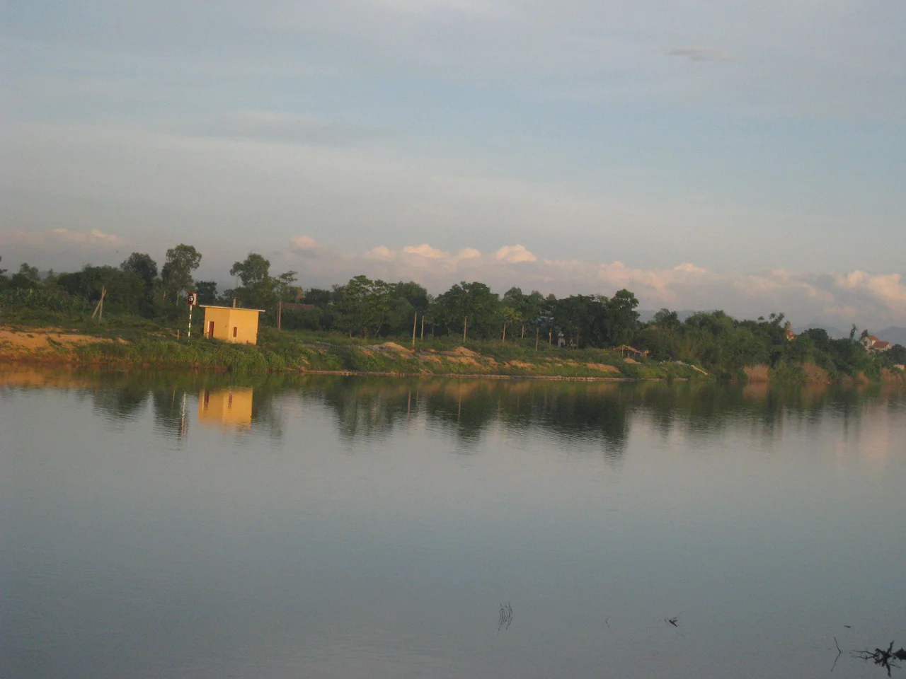
Look at a list of Lệ Thủy's villages and one syllable repeats past the point of coincidence. Hồng Thủy, Ngư Thủy, Thanh Thủy, Lộc Thủy, Hoa Thủy, Cam Thủy, Sen Thủy, Mỹ Thủy — thủy is water, and this is a place defined by it. The land tilts from the Annamite Range in the west, along the Lao border, down through forested foothills to the narrow floodplain of the Kiến Giang River, then out to a coastal belt of sand dunes roughly ten kilometres wide before it reaches the sea. Rice grows on the plain. Fishing villages sit behind the dunes on beaches that see almost no outside visitors. In the western hills, the Bang mineral hot spring has drawn people for generations, mostly locals. It is a landscape with no famous view and a great deal of ordinary use.
29 November
Over the day and night of 28-29 November 1947, French troops came to Mỹ Trạch, a village in Mỹ Thủy commune. They forced the residents to the foot of the bridge, lined them up and killed them with machine-gun fire. Women and girls were raped before they were murdered. When it was over, 326 houses had been burned and roughly half the village was dead: at minimum three hundred people, and by Vietnamese accounts more than four hundred, among them 170 women, 157 children and 94 elderly. These were farmers and their families, killed where they lived, in a village that had produced nothing more threatening than rice. Mỹ Trạch has never treated the date as history. Every year the survivors' descendants mark 29 November as the Day of Hatred, and in December 2001 the site was designated a national historical relic.
The Call and the Answer
Lệ Thủy's oldest surviving art form is an argument set to music. Hò khoan Lệ Thủy is a folk song of the river communities, sung antiphonally: performers split into two sides, sometimes men against women, sometimes one village against the next, and trade improvised verses in plain daily language until one side runs out of answers. There are nine melodic patterns, called mái — among them mái nện, mái ba, mái xắp and mái hò khơi — each with its own rhythm and use. Vietnam's Ministry of Culture, Sports and Tourism recognised it as national intangible cultural heritage on 8 May 2017. The Kiến Giang boat-racing festival, in which crews from the communes drive long rowing boats up the river before enormous crowds on the banks, was added to the same national list in 2019.
The Trail and the Highway
The western third of Lệ Thủy is Annamite mountain, and during the Vietnam War the Hồ Chí Minh trail ran through it — the supply network that made the war in the south possible, threaded through some of the most heavily bombed terrain in the world. What runs through the district now is infrastructure of a much duller kind, and that is rather the point: National Route 1, the Hồ Chí Minh Highway and the Hanoi–Saigon railway all cross Lệ Thủy, carrying traffic between the two ends of the country past rice fields where the trail once split off into the hills. Đồng Hới, the provincial capital and the nearest airport, lies about 40 kilometres north of the district centre at Kiến Giang.
The Name That Was Demoted
In June 2025 Vietnam rebuilt its map. Quảng Bình province, which had contained Lệ Thủy since long before either Giáp or Diệm was born, was dissolved and merged into Quảng Trị, and the district tier of government was abolished nationwide. Lệ Thủy district — 1,400 square kilometres, some 176,000 people at the last count, twenty-odd communes whose names all end in water — ceased to exist as an administrative unit. The name did not vanish altogether. It survives, one rung down, as a commune of Quảng Trị province, covering a fraction of what it used to. Võ Nguyên Giáp did not live to see it; he died in Hanoi in 2013 at the age of 102 and was buried on the Quảng Bình coast, in a province that has since been folded into another.
From the Air
Centred near 17.22°N, 106.80°E on Vietnam's North Central Coast, about 40 km south of Đồng Hới. Best viewed between 3,000 and 8,000 ft, where the district's cross-section reads in three clean bands: the dark forested Annamite ridges on the Lao border to the west, the bright green Kiến Giang floodplain in the middle, and a pale coastal dune belt roughly 10 km wide along the sea. Visual references: the Kiến Giang River running north toward Đồng Hới, National Route 1 and the Hanoi–Saigon railway paralleling the coast, and the Hồ Chí Minh Highway inland at the foot of the range. Nearest airport is Đồng Hới (VVDH), roughly 45 km north; Huế/Phú Bài (VVPB) lies about 150 km south. Typhoons and heavy flooding are a real hazard from September to November; the plain floods routinely. February to April is the driest and clearest window.
Nearby Stories
- Tam Tòa Church 11 km away
- Phong Nha – Kẻ Bàng National Park 15 km away
- Mutter's Ridge 16 km away
- Grès supérieurs Formation 24 km away
- DMZ Campaign (1969–1971) 28 km away
- Battle of the Mỹ Chánh Line 57 km away
- National Route 9 (Vietnam) 60 km away
- Bach Long Vi Island 308 km away