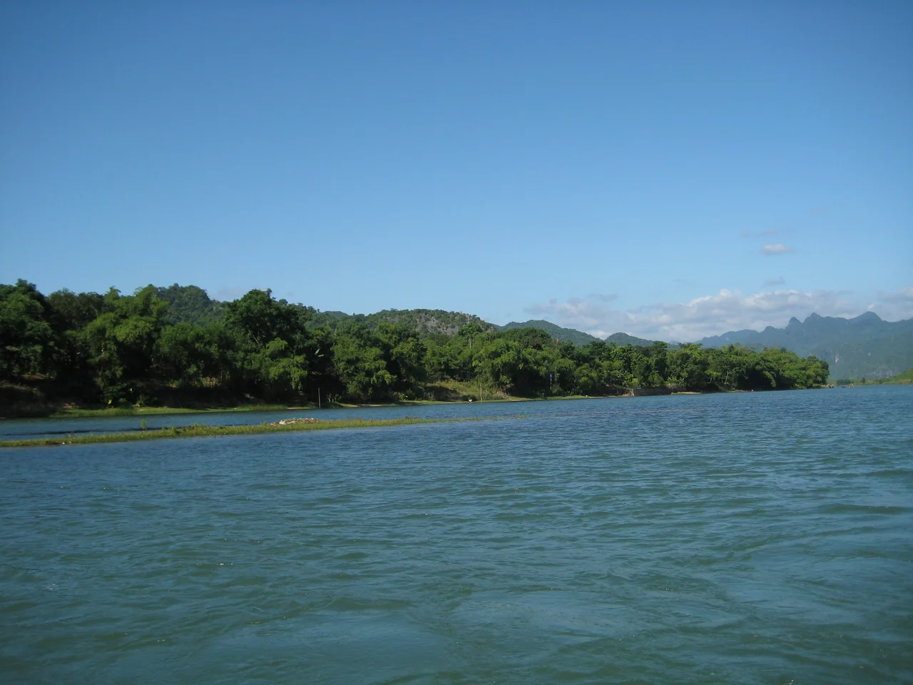

Phong Nha – Kẻ Bàng National Park
On 10 December 1990 a young man from a village on the Sơn River pushed through the forest of the Kẻ Bàng plateau looking for agarwood, and stopped in front of a hole in the ground that was breathing. Cold air poured out of it. Somewhere below, water was moving fast enough to hear from the surface. Hồ Khanh did not go in. He turned back into the jungle, and in the years that followed he lost the place completely — a gap in the hills he could not find again for eighteen years. What he had walked away from was the largest cave passage on Earth.
What the Water Did to the Stone
The rock beneath Phong Nha–Kẻ Bàng is roughly 2,000 square kilometres of limestone, and it does not stop at the border — an adjoining block of about the same size lies in Laos, one of the world's great karst regions divided by a political line drawn long after the water finished its work. Faintly acidic rain has been dissolving this stone for a very long time, and drainage that would cut valleys anywhere else runs underground here instead. The plateau is riddled with something near three hundred caves and grottoes. A 2009 survey had mapped about 126 kilometres of passage and left large areas untouched. UNESCO inscribed the park in 2003 for its geology alone; in 2015 the listing was extended to cover its ecosystems and biodiversity, and in 2025 it was extended again across the frontier, to take in Hin Nam No in Laos.
Lost for Eighteen Years
Hồ Khanh found the entrance again in 2008. The following April a British Cave Research Association team led by Howard and Deb Limbert followed him back to it, and between 10 and 14 April 2009 they measured what he had found. The main passage of Hang Sơn Đoòng runs more than five kilometres, rises 200 metres and spans 150 metres at its widest — a volume of some 38.5 million cubic metres, believed to be roughly twice that of the next largest cave passage known. In two places the ceiling has collapsed. Daylight falls through those dolines onto a genuine forest growing on the cave floor, trees reaching upward inside a chamber whose walls stand 200 metres apart. The 2009 expedition was halted by a sixty-metre flowstone barrier they named the Great Wall of Vietnam. They returned in March 2010 and climbed it.
The Older Rooms
Sơn Đoòng takes the headlines, but the park is named for a cave people have been entering for centuries. Phong Nha Cave runs 7,729 metres, holds fourteen grottoes and carries an underground river nearly fourteen kilometres long; visitors arrive by boat up the Sơn River and are permitted the first 1,500 metres. Its formations bear names handed down by generations of local visitors — the Lion, the Royal Court, the Buddha. A kilometre away and 200 metres higher, Tiên Sơn Cave was stumbled into by a villager in 1935; strike its stalactite columns and they ring like gongs. Thiên Đường, Paradise Cave, was found by a local man in 2005, surveyed to its full 31 kilometres by British cavers in 2010, and opened that September with a 1.1-kilometre walkway. Before Sơn Đoòng, it held every size record in the park.
A Corridor Through the War
People have been leaving things in these caves for a very long time. Neolithic axe heads have come out of several. Ninth-century Cham inscriptions and terracotta sealings consecrating Avalokiteśvara were cut into the rock and left there. Dương Văn An brought the cave into Vietnamese literature in 1550, and the Nguyễn court later had it engraved on one of the nine bronze urns at the citadel in Huế. In 1899 the French missionary Léopold Cadière surveyed the villages along the Sơn River and wrote to the École française d'Extrême-Orient that "what remains here proves to be valuable for history. To keep it is to help science." King Hàm Nghi had already used these same mountains as a base for resistance against French rule. Seventy years later the Hồ Chí Minh trail threaded this karst, Road 20 was cut across it, and the airstrip at Khe Gát served North Vietnamese aircraft, notably during the Battle of Đồng Hới. The forest visitors walk through today was bombed ground within living memory.
Langurs, and the People Who Live Here
Above ground the park holds ten primate species and subspecies, including François' langur and what is almost certainly the world's largest population of Hatinh langur and black langur — very likely the only population of either inside a protected area at all. Surveys have logged 72 fish species, four of them endemic, and 259 butterflies. The saola may still be here; so may the Annamite striped rabbit, which local people call thỏ vằn. Two villages of Arem and Ma Coong people live inside the core zone, and roughly 52,000 more live in the buffer zone, many of them taking part of their living from the forest. That is the park's real difficulty: a landscape that is simultaneously a home, a livelihood and a world heritage property. The first paying visitors entered Sơn Đoòng in August 2013 at three thousand dollars each, and permits remain tightly limited. A proposal to run a cable car to the caves was floated in 2014, fought hard, and dropped. The cave is still reached the way Hồ Khanh reached it — on foot.
From the Air
Centred near 17.53°N, 106.15°E in Quảng Trị province (Quảng Bình was merged into Quảng Trị in June 2025), about 500 km south of Hanoi and 42 km inland from the coast. Best viewed between 5,000 and 10,000 ft: the karst reads as a dense field of grey-white conical hills and closed depressions, sharply different in texture from the smoother forested ridges of the Annamite crest to the west. Visual references: the Sơn River winding east out of the plateau, the Hồ Chí Minh Highway running north–south along the eastern edge, and Road 20 cutting west across the massif. Nearest airport is Đồng Hới (VVDH), 45 km south; Huế/Phú Bài (VVPB) lies 210 km south, Vinh (VVVH) to the north. The old Khe Gát airstrip sits just east of the park. Expect heavy cloud and rain October through December, and low cloud clinging to the karst most mornings year-round; February to April gives the most reliable visibility.
Nearby Stories
- Battle of Đồng Hới 8.1 km away
- Nguồn Language 10 km away
- Tú Làn Caves System 13 km away
- Hoằng Phúc Temple 23 km away
- Grès supérieurs Formation 25 km away
- Nakai-Nam Theun National Park 43 km away
- Xe Bang Fai River 83 km away
- Bach Long Vi Island 293 km away