Lufilian Arc
Roughly a quarter of all the copper humans use, and about four-fifths of the world's cobalt, comes from rocks that were crumpled into place more than 500 million years ago. The Lufilian Arc is what that crumpling looks like on a map: an 800-kilometre crescent of deformed strata curving across eastern Angola, the southern Democratic Republic of the Congo, and northwestern Zambia. It is the reason phones ring, cars start, and turbines spin. It is also one of the most quietly consequential pieces of geology anywhere on Earth.
How a Continent Pinched Shut
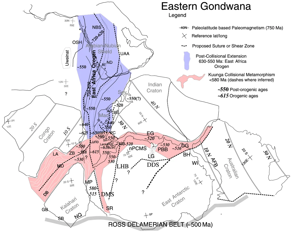
The story begins around 880 million years ago, when the Congo and Kalahari cratons began rifting apart. Two basins opened in the widening gap: first the Roan, then the Nguba. Sediments poured in and piled up, between 5 and 10 kilometres thick. Then, starting about 590 million years ago, the continents reversed course. They slid back toward each other in what geologists call the Pan-African orogeny, the mountain-building pulse that assembled Gondwana. The crust between them shortened by up to 150 kilometres. Sediments that had lain flat on ocean floors were folded, faulted, and driven northward as nappes, producing the arc we see today. By the time the pressure eased around 512 million years ago, the Katanga Supergroup had been twisted into the fold-and-thrust belt that would, hundreds of millions of years later, define the economic fate of several countries.
What the Compression Exposed
The compression did more than fold rock. It inverted strata, lifting the deepest layers toward the surface and exposing mineral-rich horizons in the Roan group. Tectonic inversion is the reason open pit mines work here at all. Copper, which had been concentrated in lower-carbonate shales, sandstones, and graywackes, was pushed into reach. So was cobalt, which in the Congolese section of the arc is unusually abundant, held within dolomitic host rocks. Zinc, lead, and even uranium came along for the ride. The Hook granite massif, a composite batholith in the inner arc, crystallised around the same time as the faulting that bounds the arc to the south, the Mwembeshi Shear Zone. Uranium-lead dating pins its syntectonic granites at roughly 560 million years and post-tectonic granites at about 533 million years, a geological stopwatch for the whole event.
The Copperbelt and Its Consequences
Within the arc runs the African Copperbelt, a 520-kilometre stretch that begins in Zambia and extends northwest into Katanga Province. When industrial-scale mining began in the 1920s and 1930s, the grades astonished engineers. In 1932, Zambian ore reserves at Roan Antelope averaged 3.44 percent copper; at Rhokana, 4.3 percent; at Mufulira, Chambishi and Baluba, 4.14 percent. United States reserves at the same moment averaged 1.41 percent. The African ore was also largely sulphide, easier to concentrate and smelt than oxide ores elsewhere. That combination of accessibility, grade, and processability transformed colonial Northern Rhodesia into a mining economy, and it still defines the modern economies of Zambia and the DRC. The towns of Chingola, Kitwe, and Mufulira exist because the ore exists; so do the mines of Kolwezi and Kambove across the border.
A Hidden Shape in the Ground
From the air the arc is invisible, buried under dry forest and dambo grasslands. It takes either a geological map or the scarred geometry of the mines to see it. But the shape matters. The same folds that trapped the copper also trap the stories of the people who dug it. Over almost a century, successive waves of labour have worked these seams: African miners moving from villages into company compounds, Belgian colonial engineers, Zambian technicians after independence, Chinese investors in the twenty-first century. Each generation has inherited ore bodies the rocks set up before any human walked upright. The arc is a reminder that some of the forces shaping daily life are older than continents look, and that the crust moves on a timescale that makes human history seem brief.
From the Air
The Lufilian Arc curves through the Zambian Copperbelt and into southern DRC's Katanga, centred near 11.67°S, 27.47°E. From altitude the arc itself is invisible, but the open pit mines at Chingola, Kolwezi, and Mufulira are unmistakable: vivid terraced bowls carved into otherwise uniform bush. Ndola Airport (FLND) and Kitwe (FLSO / Simon Mwansa Kapwepwe) serve the Zambian side; Lubumbashi (FZQA) serves the Congolese side. Best visual altitude is 8,000–15,000 feet; expect haze during dry season burning (June–October).
Nearby Stories
- Kinsevere 7.8 km away
- Luishia Mine 30 km away
- Congo Pedicle 60 km away
- Copperbelt 61 km away
- Likasi 87 km away
- 1935 Copperbelt strike 96 km away
- Lake Bangweulu 181 km away
- North-Western Province, Zambia 253 km away