North-Western Province, Zambia
Chivweka means making fire. Every July, at Senior Chief Kalunga's palace in Chikenge, the Luchazi people kindle it - not metaphorically, but actually - in a ceremony that marks the start of their community calendar. A month later, in Zambezi District, the Luvale gather for Likumbi lya Mize, a festival UNESCO has recognized on its Intangible Cultural Heritage list. Two ceremonies, a month apart, among a population that occupies the most sparsely settled province in Zambia - 1.28 million people spread across 125,826 square kilometers at a density of just 20 per square kilometer. North-Western Province is large enough to swallow a small European country and empty enough that a single drive across it will take you through forests where nobody lives for hours at a stretch.
Where the Waters Divide
The geological fact that shapes this province is a continental divide. North-Western Zambia sits along the watershed separating the Congo River system from the Zambezi, which means rain that falls here may end up in the Atlantic Ocean via the Congo basin or in the Indian Ocean via the Zambezi - depending on which side of an invisible line it lands. The same divide runs through Tanzania and continues north, but here in Zambia it defines the whole character of the land. Topographically this is plateau country, with uplifted planation surfaces that slope gently from the Kalahari Basin in the west toward the Zambezi depression in the south. The elevation is high enough to moderate the heat but not high enough to be called mountainous. The result is savannah, with patches of dry evergreen forest in the wetter pockets. Rainfall runs over 1,200 mm a year. The hottest month is October, the wettest December. Between them sit three distinct seasons - cool dry, hot dry, warm wet - each with its own texture of light and sound.
The Peoples and the Calendars
The province is home to several major ethnic groups, each with distinct languages and ceremonial cycles. The Luvale - known locally as vakaChinyama - hold Likumbi lya Mize each August, a celebration of initiation, music, masked dance, and community continuity that UNESCO formally recognized in 2005. The Luchazi mark Chivweka in July. The Kaonde celebrate Kufukwila and Insakwa yaba Kaonde in Solwezi District in May, and Nsomo in Kasempa District in June. The Lamba observe Ukupupa in Mushindamo, also in June. Each of these ceremonies is tied to specific chiefs, specific villages, and specific places in the annual calendar of rainfall, harvest, and initiation. They predate the province. They predate Zambia. They predate anything the maps show. Traveling through North-Western in festival season means encountering the actual cultural architecture of the land - the calendars that were here first and are still keeping time.
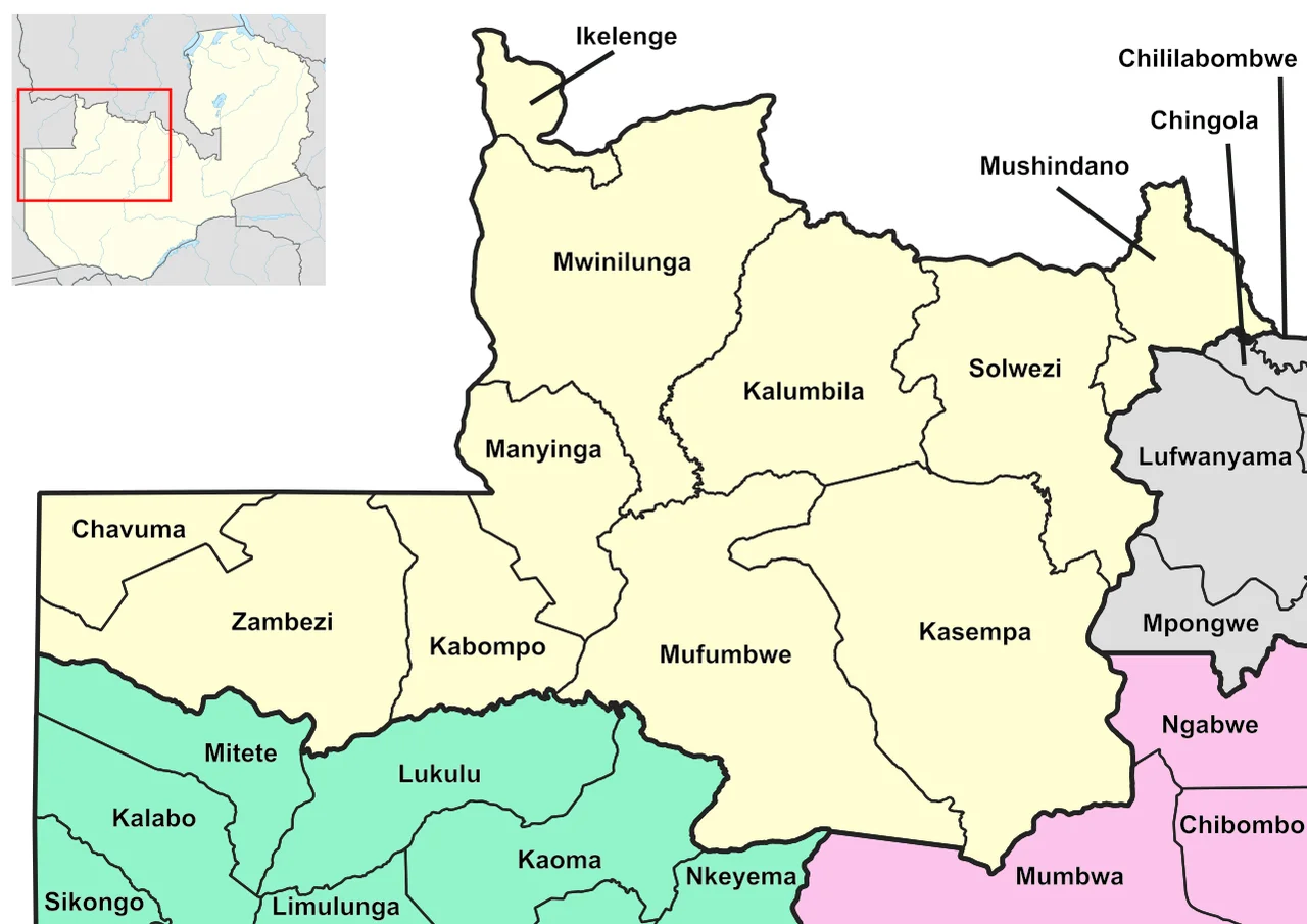
Solwezi and Its Neighbors
Solwezi is the provincial capital, and it sits near the northern edge of the province, close enough to the Copperbelt that its own economy has taken on some of the Copperbelt's shape - copper and cobalt mining anchor a growing industrial presence at Kalumbila and elsewhere. But Solwezi is the exception. Most of the province is agricultural, with sorghum the dominant crop at around 1,038 metric tonnes - nearly 9 percent of Zambia's national output. Seventy-seven percent of the population is rural. The literacy rate stood at 63 percent in 2010, below the national average of 70.2 percent. Unemployment for young adults was 31 percent as of 2008. The numbers describe a province still working out how to translate geographic abundance into economic opportunity. Four countries share its borders: Angola to the west, the DR Congo to the north, and the Zambian provinces of Copperbelt to the east, Central to the southeast, and Western to the southwest. It is a crossroads province shaped more by its neighbors than its interior, and yet the interior is where the oldest continuities of Zambian cultural life still live.
Flying Across the Province
Three airports serve North-Western Province: Solwezi, Zambezi, and Kalumbila. Between them, and the network of small airstrips scattered across the districts - Mukinge in Kasempa, Kabanda in Mufumbwe, Chitokoloki in Zambezi, Kawiku in Mwinilunga, Kalene in Ikelenge, Luamfula in Mushidamo, Kyanika in Kalumbila - the province has more landing points than paved roads suitable for trucks. During the rainy season, small aircraft are sometimes the only way to reach outlying communities. From above, the province reveals itself as a quilted landscape: the miombo woodlands brown in the dry season and suddenly green when the rains come, the lazy meanders of headwater rivers feeding the Zambezi and the Congo, the copper-orange scars where mining operations have bitten into the northern edges. Fly west long enough and you cross into Angola. Fly north and you cross into the Congo. The borders are political, not geological. The rivers keep flowing regardless, some toward one ocean, some toward the other.
From the Air
Centered around 13.00°S, 25.00°E. North-Western Province covers 125,826 km² - Zambia's largest province by area and least densely populated (20/km²). Provincial capital is Solwezi (FLSO, IATA SLI). Major airports: Zambezi Airport, Solwezi Airport, Kalumbila. Numerous airstrips serve rural districts. The province borders Angola (west), DR Congo (north), and Zambian provinces on the remaining sides. Key geographic feature: the continental watershed between the Congo and Zambezi river systems runs through the province - rainfall here ultimately reaches either the Atlantic Ocean (via Congo) or the Indian Ocean (via Zambezi). Terrain is savannah plateau with patches of dry evergreen forest. Elevation ~1,200-1,500 m. Clearest viewing in the dry season (April-August). Recommended altitude 5,000-10,000 ft AGL.
Nearby Stories
- Kabompo 61 km away
- Zambezian evergreen dry forests 61 km away
- Lumwana 92 km away
- Sakeji School 162 km away
- Kafue River 202 km away
- Chinyingi 224 km away
- Shinkolobwe 229 km away
- Kafue National Park 233 km away