Malpelo Island
From the deck of a boat approaching from the east, Malpelo looks less like an island than a mistake - a single slab of black basalt stabbing straight out of an empty Pacific, with no beach, no trees, no obvious way to land. The rock is 500 kilometers west of the Colombian mainland, further out than most people expect Colombia to extend. It rises 300 meters to the summit of Cerro de la Mona, measures only about a mile and a half long, and for most of recorded history it has been notable mainly for being difficult to reach. What it offers instead lies underwater. Drop below the surface and Malpelo becomes one of the richest shark gathering grounds in the world.
A Ridge That Almost Stayed Hidden
Malpelo is the only point of the Malpelo Ridge that ever broke the sea surface. The ridge itself runs northeast to southwest for 300 kilometers along the Pacific floor, a submarine mountain range 100 kilometers wide that almost no one sees. The island at its high point is made of pillow lavas, volcanic breccias, and basaltic dikes dated to about 16 or 17 million years old - Miocene in age - created by a complicated interaction between the Cocos-Nazca spreading center and the same Galapagos hotspot that built the Galapagos Islands further south. As an oceanic island, Malpelo has never been connected to a continent or to any other land. Whatever lives on or around it arrived by wing, by current, or by swimming.
The Shark Capital
The reason divers cross open ocean to reach Malpelo is simple: sharks, in numbers most divers never see anywhere else. Hammerheads school here by the hundreds - reports of 500 animals in a single swarm are routine. Silky sharks cruise the thermoclines. The rare smalltooth sand tiger has been seen here more reliably than almost anywhere else on Earth, especially at a dive site known as El bajo del Monstruo - the Monster's reef. Whale sharks pass through on their vast oceanic migrations. On 12 July 2006, UNESCO declared Malpelo a natural World Heritage Site specifically because of its value as a shark reserve. A no-fishing zone surrounding the island now covers more than 850,000 hectares - the largest such zone in the eastern Pacific, policed from a small Colombian military post on the rock itself.
Life on a Guano Rock
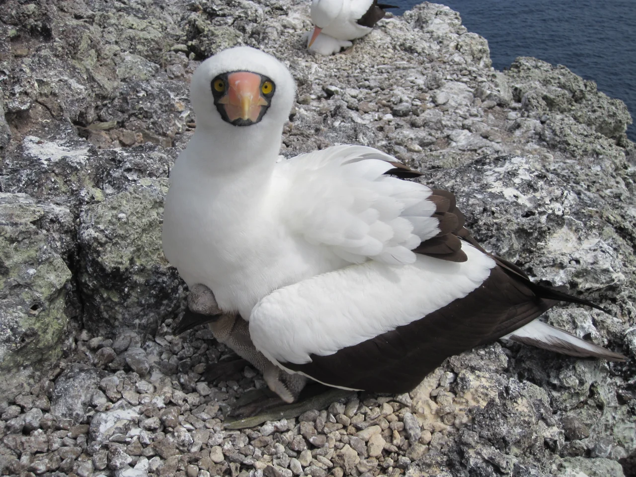
At first glance the island above water looks dead. Look again. Bird guano has built up over millennia in thick layers, and on that foundation a small community of algae, lichens, mosses, ferns, and shrubs has taken hold. Lizards are the only non-avian vertebrates: three species, including Agassiz's anole, the dotted galliwasp, and the Colombian leaf-toed gecko. A land crab found nowhere else on Earth, Johngarthia malpilensis, was first described here in 1893. Nazca boobies breed on the cliffs in extraordinary numbers - BirdLife International estimated 60,000 to 110,000 pairs in 2007, enough to qualify Malpelo as an Important Bird Area in its own right. For a rock that at a distance appears lifeless, the island supports a stubbornly persistent set of residents who have adapted to a place with no fresh water and no soil worth the name.
A Rock Apart
The remoteness that protects Malpelo also makes it odd in other ways. It is so cut off from other landmasses that amateur radio operators count it as a separate DXCC entity - one of those rare spots radio hobbyists mount special DXpeditions to reach, with the Colombian government's permission, just to be able to log a contact from it. The isolation that makes the ecology possible also makes enforcement hard. In September 2024, three Ecuadorian nationals were arrested by the Colombian National Navy inside the Malpelo Fauna and Flora Sanctuary with about 40 illegally caught fish on board, including sailfish, marlin, albacore, and hammerhead sharks. Charged with environmental damage, ecocide, and fishing violations, they entered no-contest pleas in preliminary hearings. The no-fishing zone is vast, the Colombian Navy is stretched thin, and enforcement relies partly on the reputation of the rock: a place it is expensive to reach, and risky to be caught at.
From the Air
Malpelo sits at 4.00N, 81.61W, in open ocean roughly 500 km west of Buenaventura, Colombia. Because it is the only land for a long way around, it is dramatic from the air - a black rock ringed by deep blue water, with smaller attendant rocks (the Tres Mosqueteros off the northeast, and Salomon, Saul, La Gringa, and Escuba off the southwest). The nearest mainland airports are Buenaventura (SKBU) and Cali (SKCL). Long-range flights between Panama and South America pass within visual range in clear conditions. Recommended viewing altitude is 8,000-15,000 feet; the island is often marked by cloud buildup even when surrounding skies are clear.
Nearby Stories
- Malpelo Plate 76 km away
- 1906 Ecuador–Colombia earthquake 252 km away
- Gorgona Island 353 km away
- Gulf of Tribuga 462 km away
- Golfo Dulce 498 km away
- Ngabe-Bugle Comarca 506 km away
- Corcovado National Park 531 km away
- Genovesa 933 km away