Malpelo Plate
In 2017, a team of geophysicists added another piece to the jigsaw puzzle of Earth's surface. The Malpelo plate became the 57th tectonic plate to be recognized, carved out of what had previously been assumed to be the northern edge of the Nazca plate. It takes its name from Malpelo Island - the only point on the plate that rises above the ocean, a bare black rock sitting in the middle of hundreds of kilometers of otherwise submerged crust. You will not see the plate from a boat or a plane. What you can see, from above Malpelo Island, is the one visible fleck of a piece of the world that scientists only recognized less than a decade ago.
The Arithmetic That Did Not Close
Tectonic plates are measured by how they move. When researchers try to check whether the motion of three adjacent plates adds up - a plate motion circuit - the numbers should zero out. In the eastern Pacific, the Nazca-Cocos-Pacific circuit had long refused to close cleanly. A 2013 paper hypothesized that a missing microplate might explain the discrepancy, and in 2017 researchers using a Columbia University database of multibeam sonar soundings west of Ecuador and Colombia published the confirmation. They mapped a diffuse plate boundary running from the Panama transform fault eastward until it intersects a deep oceanic trench near the South American coast. Inside that boundary: a previously uncounted slab of oceanic crust, now called the Malpelo plate.
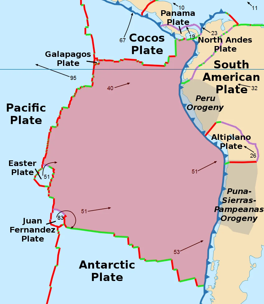
A Microplate With a Big Neighborhood
The Malpelo plate is small on the scale of the planet but crowded on the scale of a map. The Cocos plate borders it to the west. The Nazca plate lies to the south. The North Andes plate forms its eastern edge, pressing against South America. To the north, across the Coiba transform fault, sits the even smaller Coiba plate. The Malpelo plate also borders three major fault zones along Pacific Colombia - the Bahia Solano fault in the north, and further south the Naya-Micay and Remolino-El Charco faults. These faults matter because they slip. When they do, they generate earthquakes that have repeatedly shaken the Colombian Pacific coast, with consequences felt from Buenaventura to the small fishing communities tucked behind the coastal mangroves.
Born in the Middle Miocene
The oceanic crust of the Malpelo plate is estimated to have formed in the Middle Miocene, around 14.7 million years ago. For most of that time it has been moving quietly beneath the Pacific, manufactured somewhere along a spreading center and drifting toward its eventual fate at a subduction trench. Malpelo Island itself - composed of basaltic pillow lavas and volcanic breccias dated to roughly 16 to 17 million years old - is one of the few pieces of that crust that built up enough height to reach the surface. The island and the plate share a history and a name, but they are not quite the same thing. The island is one brief peak above the water. The plate is the whole long slab of rock moving beneath it.
Why It Matters to Know It Exists
Microplates are not just a bookkeeping problem. Recognizing the Malpelo plate rewrites the seismic hazard picture for Pacific Colombia and Ecuador. Boundaries that were previously treated as features inside a single large Nazca plate turn out to separate distinct pieces of crust moving at slightly different rates and in slightly different directions. Faults that run along those boundaries can be more active than uniform-plate models predicted. For cities along the coast - Buenaventura, Tumaco, Esmeraldas - and for the subduction zone that powers the Andes, a more accurate plate map is a more accurate hazard map. The science also illustrates something about plate tectonics itself: even in the 21st century, with seafloor data piling up in university databases, the Earth still reveals its pieces slowly.
From the Air
The center of the plate falls near 3.23N, 81.23W, in open Pacific Ocean. The only emerged part - Malpelo Island - lies to the northwest of this point. The nearest mainland airports are Buenaventura (SKBU) and Cali (SKCL) in Colombia, and Esmeraldas (SETN) in Ecuador. Recommended viewing altitude over the plate area is 8,000 to 15,000 feet AGL in clear conditions; you are flying over hundreds of kilometers of open ocean, with Malpelo Island as the only land reference.
Nearby Stories
- Malpelo Island 60 km away
- 1906 Ecuador–Colombia earthquake 165 km away
- Mira River 273 km away
- Atacames 292 km away
- Gulf of Tribuga 463 km away
- Golfo Dulce 583 km away
- Corcovado National Park 617 km away
- San Cristóbal (Galápagos) 933 km away