Mira River
The Mira River begins about 3,473 meters up, in a lake called Puruanta tucked into the Cayambe Coca Ecological Reserve of northern Ecuador. From there it runs downhill through the best-known and hardest-lived parts of a valley most outsiders never visit. For a few kilometers near its mouth it forms the border between Ecuador and Colombia, then crosses entirely into Colombia and continues 88 navigable kilometers through the rainforests of Narino Department to the Pacific. The river connects a staggering range of Ecuador and Colombia in one drainage: Andean paramo, semi-arid valley, class IV whitewater, and finally equatorial rainforest. Along the middle of its course - in the valley the upstream half is called the Chota - it flows through one of the most culturally distinct regions of Ecuador.
The Chota Valley
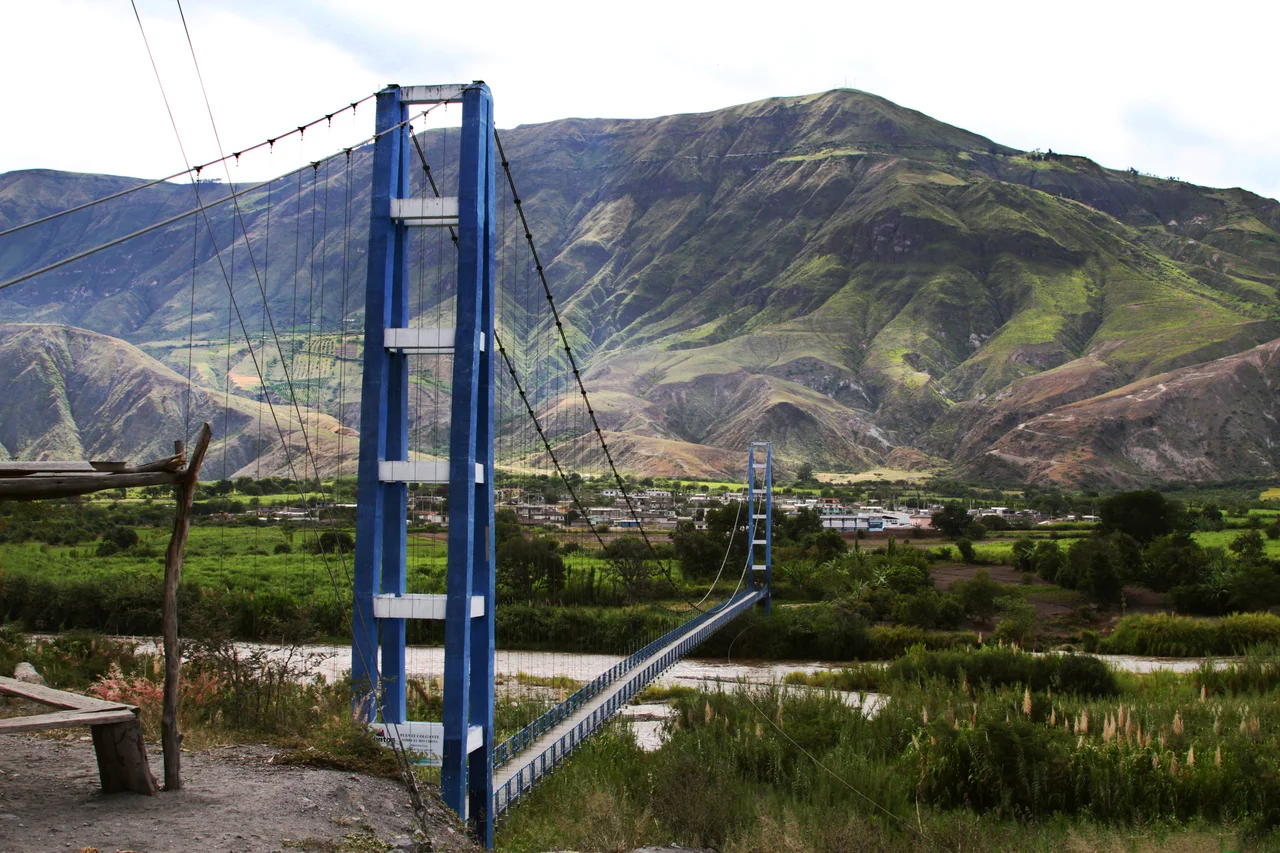
North of Pimampiro, at about 1,700 meters, several tributaries unite into what is called the Chota River. The valley here is deep and wide, with a semi-arid climate that can receive as little as 500 millimeters of rain per year on the valley floor - dry enough that irrigation is necessary for most farming. Because the elevation is relatively low for the Andes, the Chota has long been used to grow crops that need warmth: coca, cotton, chile peppers, maize, and fruit. Before the Spanish arrived, a class of traders called mindaeles moved these semi-tropical crops up the surrounding slopes to the cooler Pais Caraqui chiefdoms, exchanging them for highland foods. From the 16th century onward, sugar cane, olives, and grapes were added to the mix, introduced by Spanish colonists who saw the valley's warmth as an opportunity for European crops.
A Valley Built by Forced Labor
In the 17th and 18th centuries, Jesuit missionaries owned most of the land in the Chota valley and imported enslaved Africans to work their sugar cane plantations. By 1767, when the Jesuits were expelled from Spanish America, they owned ten plantations and 1,769 enslaved people in the valley. The expulsion of the Jesuits changed the owners of the plantations but not the conditions of the workers; the people held in slavery remained enslaved under new masters. Slavery was not abolished in Ecuador until 1852. After abolition, most Afro-Ecuadorian residents of the Chota became landless sharecroppers on the same ground their ancestors had worked under forced labor - a condition that persisted into the late 20th century. A 1964 Land Reform law allowed a few to acquire land, but by the early 21st century the majority remained impoverished and either landless or nearly so. The valley's prosperity, such as it existed, had always been built on the backs of people with no share in it.
Bomba, and a Football Tradition
What the Chota built for itself, it built culturally. Bomba music - African drums layered with indigenous and Spanish influences - is the sound of the valley, still played at weddings, festivals, and casual gatherings in the ten to fifteen small villages where Afro-Ecuadorians form the majority of the population. The valley has also become known, improbably, as the cradle of Ecuadorian football. When the 2002 Ecuadorian national team qualified for the FIFA World Cup - the country's first appearance - eight players on the 23-man roster were Afro-Ecuadorians from the Chota valley. This despite the absence of grass fields, formal academies, or training facilities for young players in the region. The Chota's footballers grew up playing on dirt and stone and still reached the highest stage of the sport.
From Canyon to Coast
A few miles north of the village of Concepcion, the Mira leaves the valley and enters a narrow, sparsely populated canyon that carries it down from about 1,200 meters to 100 meters over the course of 100 kilometers. The gradient is steep enough, and the water lively enough, that the Mira has become popular with rafters and kayakers drawn to its class III and IV rapids. Below the canyon, the river crosses into Narino Department of Colombia and spreads out into a slow, navigable coastal river running 88 kilometers to the Pacific. Here the climate changes again. Rainforest replaces canyon. The river is joined by the San Juan as a major tributary. Population thins out to communities that cultivate bananas and African oil palm, the latter now a dominant cash crop along much of Colombia's Pacific coast. A single river, in other words, that begins in cold paramo and ends in oil-palm lowland - and that has carried, in the middle of its course, one of the most distinctive communities in the Andes.
From the Air
The Mira's course stretches from roughly 0.2N, 78.0W (its Andean headwaters) to 1.6N, 79.0W (its Pacific mouth in Colombia). The Chota Valley is visible as a sharp, dry, canyon-like gash among otherwise forested terrain between 0 and 1N. The nearest airports are Ibarra (SEIB) for the upper valley, and Tumaco (SKCO) or Esmeraldas (SETN) for the lower river. Recommended viewing altitude is 8,000-12,000 feet AGL; the Andean headwaters are often obscured by cloud, but the Chota Valley's dry microclimate frequently gives clear views.
Nearby Stories
- 1958 Ecuador–Colombia earthquake 44 km away
- Northwestern Andean Montane Forests 61 km away
- 1906 Ecuador–Colombia earthquake 62 km away
- San Miguel (Ecuador) 74 km away
- Isla Gorgona 117 km away
- Sanctuary of Las Lajas 132 km away
- Gorgona Island 142 km away
- Malpelo Plate 245 km away