
Moorefield
Moorefield is what happens when a valley big enough to grow chickens and cattle in industrial quantities is hidden behind enough mountains to make it almost impossible to reach. For most of its history that was the whole story - a flat green oasis surrounded by ridges, the county seat of Hardy County, a place where you stopped if you happened to be passing through. The four-lane construction of U.S. 48 in the early 2010s changed the calculation. Moorefield is now an hour faster from the interstates than it used to be, and people are starting to notice.
An Oasis of Flat
Moorefield sits in the very center of an unusually large area of flat ground for the Allegheny region, completely surrounded by rugged mountains. The South Branch Potomac River runs past the town, joined just north by the South Fork, and the bottomland in both valleys is some of the most fertile farmland in West Virginia. Hardy County agriculture - corn, wheat, apples, peaches, melons, cattle, and especially poultry - has worked this land since the 1730s. The town itself was formally founded in 1777 by Conrad Moore, a Pennsylvania German settler who gave the place its name. It became the county seat when Hardy County was carved out of Hampshire County in 1786. For most of the next two centuries it stayed quiet.
Not a Tourist Town (and That Helps)
Unlike Davis to the west on the other side of the Allegheny Front, or Wardensville to the east at the head of Lost River Valley, Moorefield is not a tourist destination. The economy runs on agriculture, and especially on the poultry operations that supply chicken to the broader mid-Atlantic. Pilgrim's Pride and other producers operate processing plants in and around the town. That gives Moorefield a different character - more diners and feed stores, fewer art galleries and outdoor outfitters. But it also makes the town a working base from which to explore the backcountry. The dining is American diner fare, with a few Italian and Latin American restaurants reflecting the labor demographics of the poultry plants. Retail is more substantial than in surrounding villages, and motel beds are easier to find.
The Highway That Changed Everything
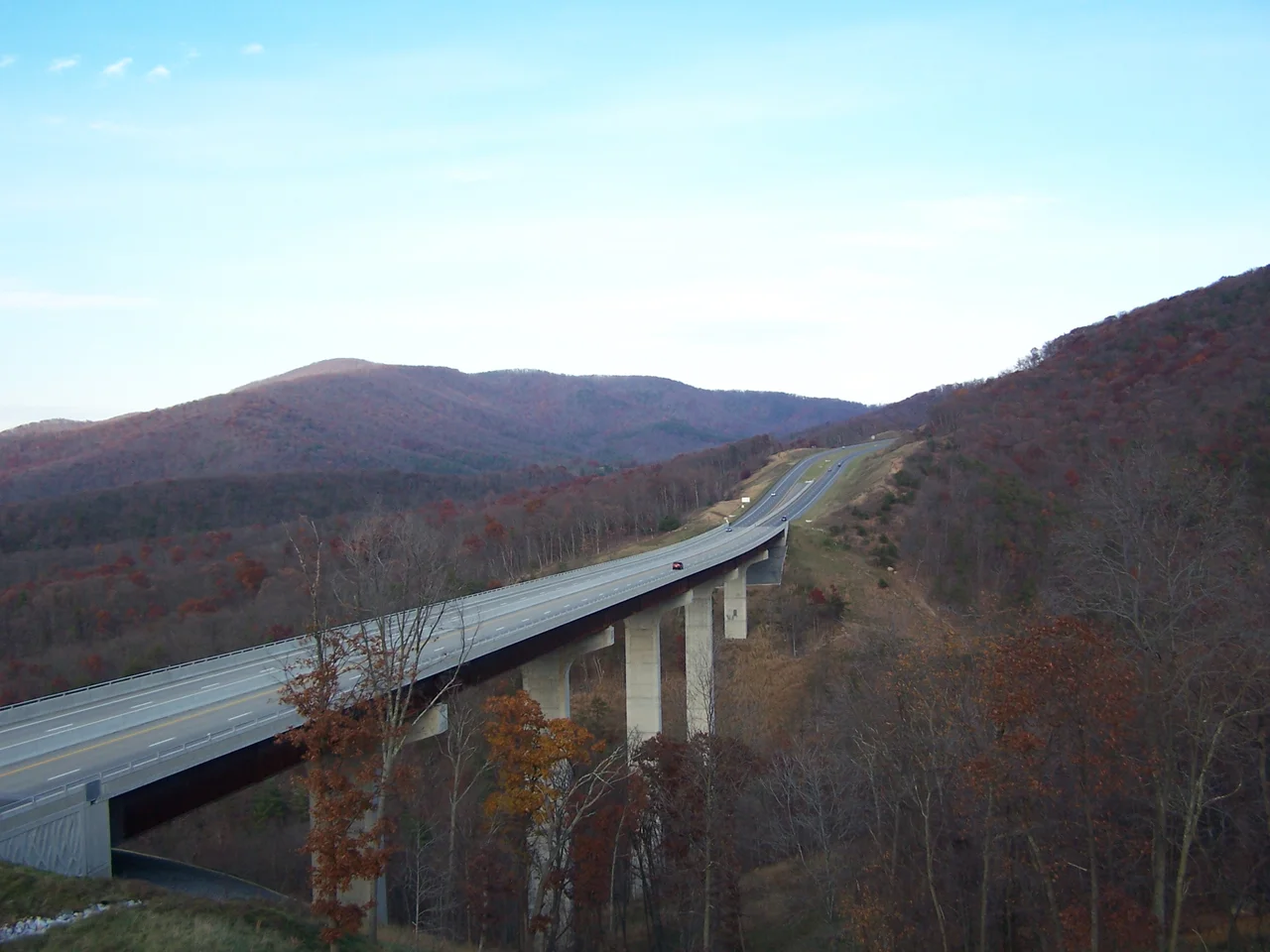
U.S. Route 48, often referred to locally as Corridor H, is now a four-lane divided highway running across most of northern West Virginia. It connects Interstate 79 in the west to Interstate 81 near the I-66 junction in the east, with Moorefield sitting near the middle. Much of the highway was built in stages from the 1970s through the 2010s, and most of the route now moves traffic at interstate speeds, but the project is still not fully complete. As of 2026, two segments — Kerens to Davis, and Wardensville to Strasburg, Virginia — remain two-lane and still carry the U.S. 48 designation while construction continues. The completed sections nonetheless dropped travel time from Washington, D.C. and points east by hours, and connected Moorefield more directly to West Virginia's interior than the old two-lane U.S. 220 ever could. The highway did for Moorefield what 19th-century railroads did for towns elsewhere: it cut the isolation.
Backcountry on Every Side
From Moorefield almost any direction leads into mountains. Davis sits west across the Allegheny Front, gateway to Canaan Valley, Dolly Sods, and Blackwater Falls. Wardensville lies east at the head of Lost River, which feeds the curious history of Lost River State Park and the Lighthorse Harry Lee Cabin. Romney, the next historic city to the north, was once the county seat of Hampshire County before Hardy split off. Franklin, to the south in Pendleton County, is the seat of West Virginia's most rugged country. None of those places has anywhere near the lodging or dining options Moorefield does. So even people staying in the more touristy spots end up driving in for groceries, restaurants, or supplies. The town that nobody used to visit is now everybody's resupply stop. Note that Moorefield sits on the northern fringe of the United States National Radio Quiet Zone, which is part of why cellular data here is limited.
From the Air
Located at 39.06 degrees north, 78.97 degrees west, at the center of the South Branch Potomac valley in Hardy County, West Virginia. From 4,000 to 6,000 feet AGL Moorefield reads as a small town surrounded by an unusually wide green floodplain, with the South Branch and South Fork meeting just to the north. Nearest airports include Hardy County (W22) at Moorefield and Grant County (W99) at Petersburg. U.S. 48 (Corridor H) is the main visual highway. Portions of the area lie within the National Radio Quiet Zone.
Nearby Stories
- Davis 2.5 km away
- Orkney Springs Hotel 11 km away
- Belle Grove Plantation 13 km away
- Sinks of Gandy 22 km away
- The Inn at Little Washington 26 km away
- Battle of Fort Necessity 50 km away
- Antietam: The Day America Lost 23,000 Men 57 km away
- Fallingwater 75 km away