.jpg)
Mount Vernon Trail
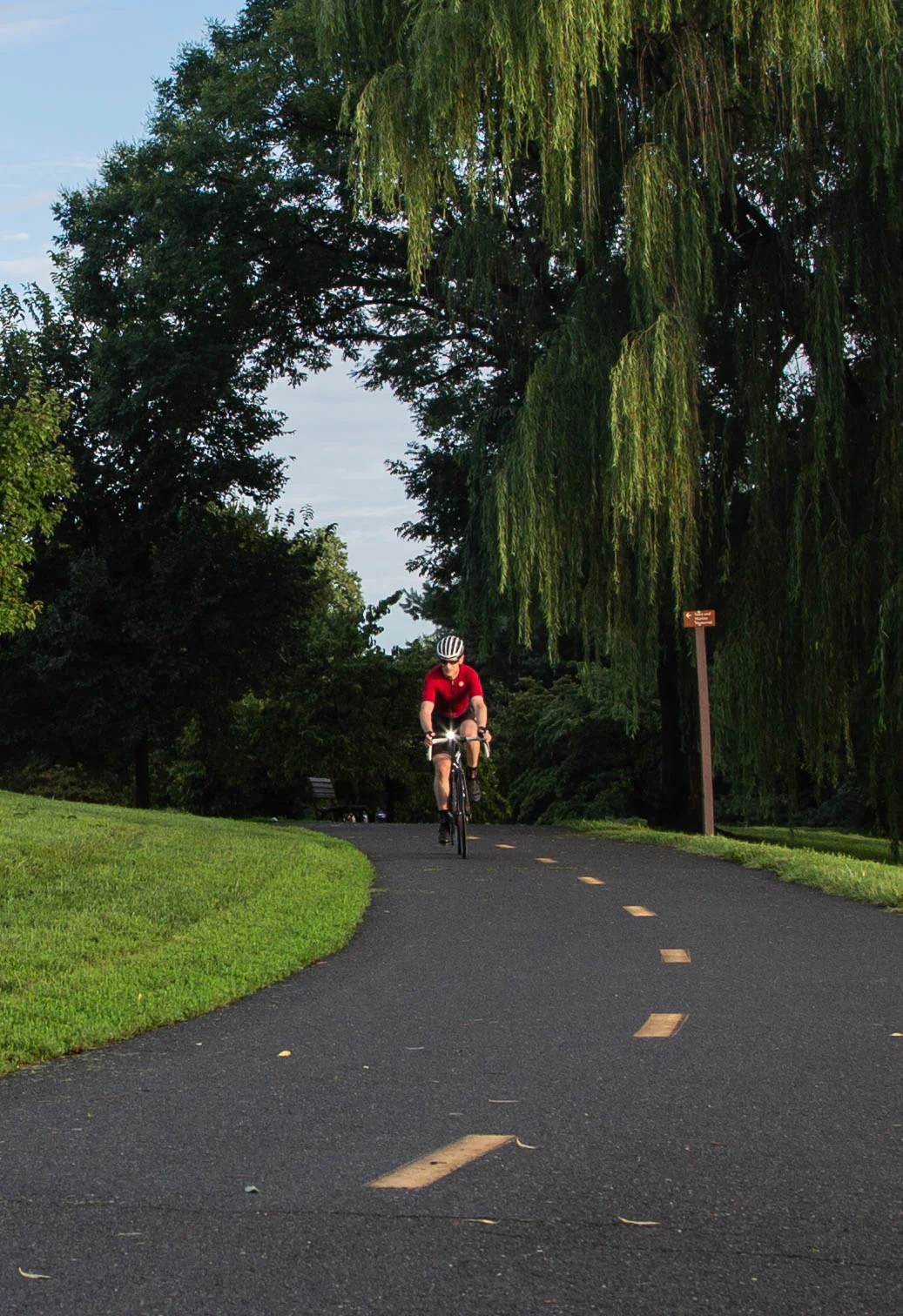
On Sundays in the early 1970s, the National Park Service used to rope off the outside lane of the George Washington Memorial Parkway for cyclists. The cars and the bicycles shared the road every other day of the week, and the arrangement worked the way it always works - dangerously. In 1971 a group of riders staged a bike-in along the parkway to demand a proper trail. Local civic activists Ellen Pickering and Barbara Lynch led the lobbying that followed. Within months the Park Service began grading a six-foot gravel path along the parkway shoulder. Volunteers spent every weekend for four months spreading the gravel by hand. The first section opened on April 15, 1972, ran from the Mason Bridge to Slaters Lane in Alexandria, and cost $27,000 to build. The Mount Vernon Trail was born from that bike-in. Today it runs eighteen miles, draws thousands of users every weekend, and is the busiest paved trail in the Washington region.
Before the Trail
The story does not actually start in 1971. In 1940 the federal government built a path between Arlington Memorial Bridge and what is now the Navy-Merchant Marine Memorial - a small ribbon of asphalt for walkers and the occasional cyclist. That path was eventually extended to the George Mason Memorial Bridge, paved in 1969, and renamed the Lady Bird Trail in honor of Lady Bird Johnson, who had made beautification of the Washington area one of her First Lady projects. It was less than a mile long. By the late 1960s the Park Service had already been asking for money to extend a trail south to Gravelly Point, but Congress had not provided it. The bike-in of 1971, combined with new federal interest in non-motorized transportation, finally freed the funds. The first phase of construction was the gravel extension from Alexandria south to Mount Vernon, which opened on April 21, 1973 - 7.5 miles surfaced with compacted fly ash donated by the PEPCO power plant in Alexandria. Until then it was called the Alexandria Bike Trail. The name Mount Vernon Trail came only when the path actually reached George Washington's home.
Paving and Bridges
Throughout the 1970s and 1980s, the trail was paved, rerouted off public streets, and pushed onto its own right-of-way. A controversial 1.8-mile section was paved between Alexandria Avenue and Fort Hunt Road in 1978 after litigation by neighbors concerned about safety and noise. The Metropolitan Washington Airports Authority built a connector to National Airport's bike parking that same year. In 1980 the Army Corps of Engineers built bridges across Four Mile Run that included a pedestrian crossing tying in the Four Mile Run Trail. In 1982 a cantilevered section was hung along the river beside the Potomac River Generating Station - paid for by the utility, which was facing legal action for illegally storing coal on federal land. In 1988 a bridge over the parkway connected the trail north to Roosevelt Island and the Custis Trail, completing the spine of what now runs from Mount Vernon all the way up to Rosslyn. The Park Service has been improving the trail ever since - rebuilding the Humpback Bridge in 2011 with separated trail tunnels and barriers, realigning Memorial Circle in 2012, widening the airport segment in 2016.
What the Ride Looks Like
From the northern trailhead near Theodore Roosevelt Island the trail runs south along the Potomac with the Washington skyline visible across the river - the Lincoln Memorial, the Washington Monument, the Capitol dome. It passes the Navy-Merchant Marine Memorial, where tulips bloom in spring, then bends inland to slip between the parkway and the west side of Ronald Reagan Washington National Airport. At Gravelly Point the trail runs directly under the final approach to Runway 19, and on a busy afternoon hundreds of cyclists and joggers stop to watch jets pass forty feet overhead, low enough to feel the engines. The on-street section through Old Town Alexandria runs along Union Street past brick warehouses and waterfront restaurants. South of the Woodrow Wilson Bridge, the trail re-enters its own corridor, crossing Hunting Creek, threading through Belle Haven Park and the boardwalks of Dyke Marsh Wildlife Preserve. The southern eight miles are mostly wooded with only intermittent river views. The final mile is a curving inland climb that ends in front of George Washington's house at Mount Vernon.
The Network
The Mount Vernon Trail is more than itself. It is the central spine of the Washington-area paved trail system. Mile zero connects to the Woodrow Wilson Bridge Trail, which crosses to National Harbor in Maryland. The Four Mile Run Trail joins it south of the airport. The Custis Trail leads west to the Washington and Old Dominion Railroad Trail, which runs 44 miles further to Purcellville, Virginia. At Arlington Memorial Bridge the trail connects to the Rock Creek Park Trail, which goes north into Maryland. The Chesapeake and Ohio Canal towpath, 184 miles to Cumberland, branches off via the Key Bridge. The unpaved Potomac Heritage Trail extends another ten miles upriver toward the American Legion Bridge and the Beltway. The whole network is part of U.S. Bike Route 1 and the East Coast Greenway, a 3,000-mile trail system from Maine to Florida that is slowly being completed corridor by corridor. The volunteers who spread gravel on the original six-foot path in the winter of 1971-72 could not have known what they were starting. The trail still goes back to Alexandria. It just doesn't stop there anymore.
From the Air
The Mount Vernon Trail runs along the Virginia bank of the Potomac River from approximately 38.71 degrees N, 77.06 degrees W at Mount Vernon to 38.90 degrees N, 77.07 degrees W at Roosevelt Island - 18 miles of paved trail paralleling the George Washington Memorial Parkway. From 3,000 to 5,000 feet AGL the green corridor between the parkway and the river is clearly visible, with Reagan National (KDCA) almost in the middle of the route. This is the heart of the Washington Special Flight Rules Area and Class B airspace. P-56 over the Mall is just across the river. Coordinate with Potomac TRACON. The DCA arrival pattern overflies the trail at Gravelly Point - watch for the river visual.
Nearby Stories
- Crownsville Hospital Center 3.5 km away
- Battle of Thoroughfare Gap 7.4 km away
- Battle of Unison 8.6 km away
- Mallows Bay-Potomac River National Marine Sanctuary 9.1 km away
- Murders of Katherine and Sheila Lyon 9.9 km away
- Germanna 15 km away
- Capital Gazette Shooting 27 km away
- St. Mary's City, Maryland 39 km away