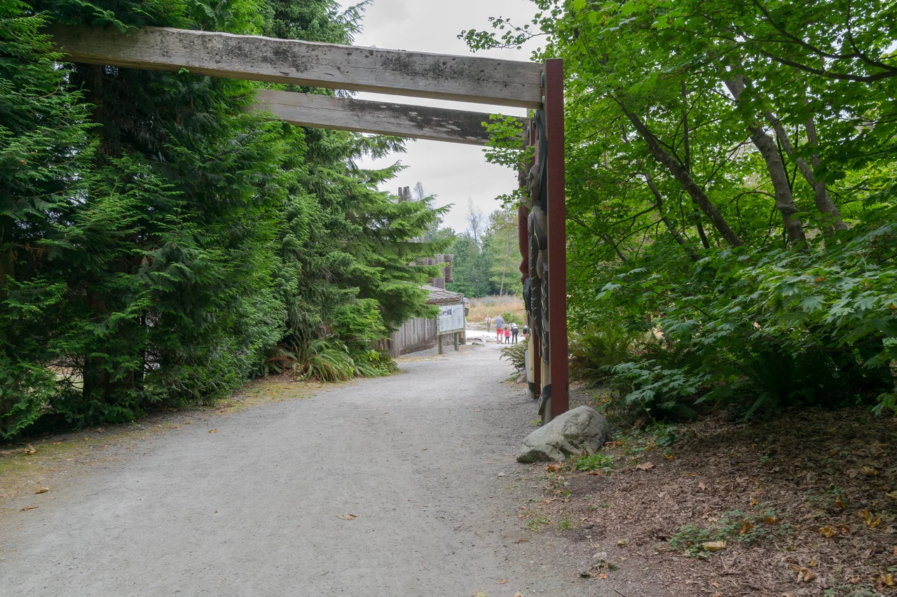

Musqueam First Nation
In Musqueam oral history, the Fraser River is the track of a snake. A double-headed serpent — sʔi:ɬqəy̓ — lived in the bog the Musqueam call xʷməm̓qʷe:m, which maps now label Camosun Bog, and it was so enormous that its winding path through the land carved out the river, stal̕əw̓. Every living thing that crossed the serpent's path died. Then, from the serpent's droppings, new life came up: məθkʷəy̓, the river grass, which grew thick and abundant around its home. That is why the people of this place are xʷməθkʷəy̓əm — the place where the river grass grows. English wore the word down to Musqueam.
c̓əsnaʔəm
Roughly 2,500 years ago the largest Musqueam village stood at a site called c̓əsnaʔəm, near where the Fraser meets the sea. Settlers who arrived much later gave the place a different name: the Marpole Midden, or the Great Fraser Midden, describing the metres of accumulated shell and bone that made it archaeologically interesting to them.
The delta is restless ground, and as the river shifted its channels the village shifted with it. About 1,500 years ago the community moved to the site of what is now the Musqueam 2 reserve, where it remains. The Nation's own account of its presence in this territory reaches back more than eight thousand years — an unbroken occupancy that predates every other claim on the ground beneath Vancouver by an order of magnitude.
What Was Taken from the Midden
c̓əsnaʔəm is a burial ground, and it was treated as a quarry. Between 1897 and 1900, Harlan Ingersoll Smith, an archaeologist with the American Museum of Natural History working on the Jesup North Pacific Expedition, excavated the site without Musqueam consent and removed the remains of as many as seventy-five Musqueam people to New York, to be studied and displayed. He took their belongings with them — tools, jewellery, carved work, ceremonial objects.
What he left behind is the detail that lingers. The midden was mostly shell and animal bone, and that material stayed where it was. What went east was the human part: ancestors and the things their families had buried with them. These were not specimens. They were somebody's grandparents, and their descendants were living a short walk away while the crates were being packed.
Chief Johnny, 1913
In 1913 Ottawa and Victoria jointly appointed the McKenna–McBride Royal Commission to settle, once and for all, the boundaries of reserve land in British Columbia. Musqueam people appeared before it and used the opportunity to reassert what they had never given up: the right to live, fish and hunt across territory that had never been ceded by treaty.
Chief Johnny told the commissioners that settlers fished destructively while his people harvested in ways the river could sustain. His statement of the principle needed no elaboration: "When I want to catch fish for my living I do not want to be interfered with at all."
Sixty-three years later the Nation put the claim in writing. On 10 June 1976, Chief Delbert Guerin and five councillors ratified the Musqueam Declaration, which described a traditional territory covering the western half of Greater Vancouver and running out to the middle of the Strait of Georgia.
Fifty-Four Street Signs
Musqueam people speak hən̓q̓əmin̓əm̓, the downriver dialect of Halkomelem. The Kwantlen and Katzie upriver speak the same dialect; the Stó:lō further up the Fraser speak another; the Cowichan, Chemainus, Snuneymuxw and their neighbours on Vancouver Island and the Gulf Islands speak a third.
In early 2018 the University of British Columbia installed fifty-four hən̓q̓əmin̓əm̓ street signs across its Point Grey campus, which sits on unceded Musqueam land. A year later, on 25 February 2019, the Musqueam flag was permanently raised there — a white pale on a teal field, an arrowhead at its centre holding a salmon leaping above a net, designed by Musqueam artist Susan Point, whose enormous spindle whorl has greeted arrivals at Vancouver International Airport since 1995. Musqueam students Grace Point and Brett Sparrow hauled it up, with Chief Wayne Sparrow and then UBC president Santa Ono looking on.
Three Reserves, and Buying the Delta Back
The reserve land the band administers amounts to three parcels. Musqueam 2 is 470 acres at the mouth of the Fraser, north of Sea Island. Musqueam 4 covers 142 acres east of Canoe Passage near Westham Island. Sea Island 3 accounts for 16 acres on Sea Island's northwest corner. Set that against the territory described in the 1976 Declaration and the arithmetic is its own argument.
So the Nation has begun acquiring land the other way. In October 2025 the Snuneymuxw First Nation announced it would buy the River Rock Casino Resort — British Columbia's largest casino, standing on Musqueam territory in Richmond minutes from the airport — from Great Canadian Entertainment, in partnership with Musqueam. The price was not disclosed. The transaction closed in June 2026. It is a peculiar route back to the delta, through a commercial purchase of ground that was never surrendered, but it is the route the law leaves open.
From the Air
The Musqueam 2 reserve lies at 49.225°N, 123.199°W, on the north bank of the Fraser's North Arm in southwest Vancouver, immediately across the water from Sea Island and the Vancouver International Airport (CYVR) complex about 2 nm southeast. That proximity is the governing fact for any flying here: this is the CYVR control zone, with the North Arm running beneath approach and departure paths for Vancouver's parallel runways, so a transit needs a clearance and a plan. From 1,500 ft the shape is clear — the wooded bluff of Point Grey and the UBC campus to the northwest, the flat green of the Musqueam lands and the golf courses along the river, the log booms on the North Arm, and the Strait of Georgia opening west. Vancouver Harbour Water Airport (CYHC) is roughly 7 nm northeast, Boundary Bay (CZBB) about 9 nm southeast. Expect delta fog in autumn and winter mornings and a steady westerly sea breeze on summer afternoons.
Nearby Stories
- Minnekhada Regional Park 0.6 km away
- Britannia Mine and the Mountain That Bleeds 5.8 km away
- Stz'uminus First Nation 5.8 km away
- Sechelt Inlet 9.6 km away
- Entrance Island 12 km away
- Tsawwassen 12 km away
- Hovander Homestead Park 25 km away
- Joffre Lakes Provincial Park 87 km away