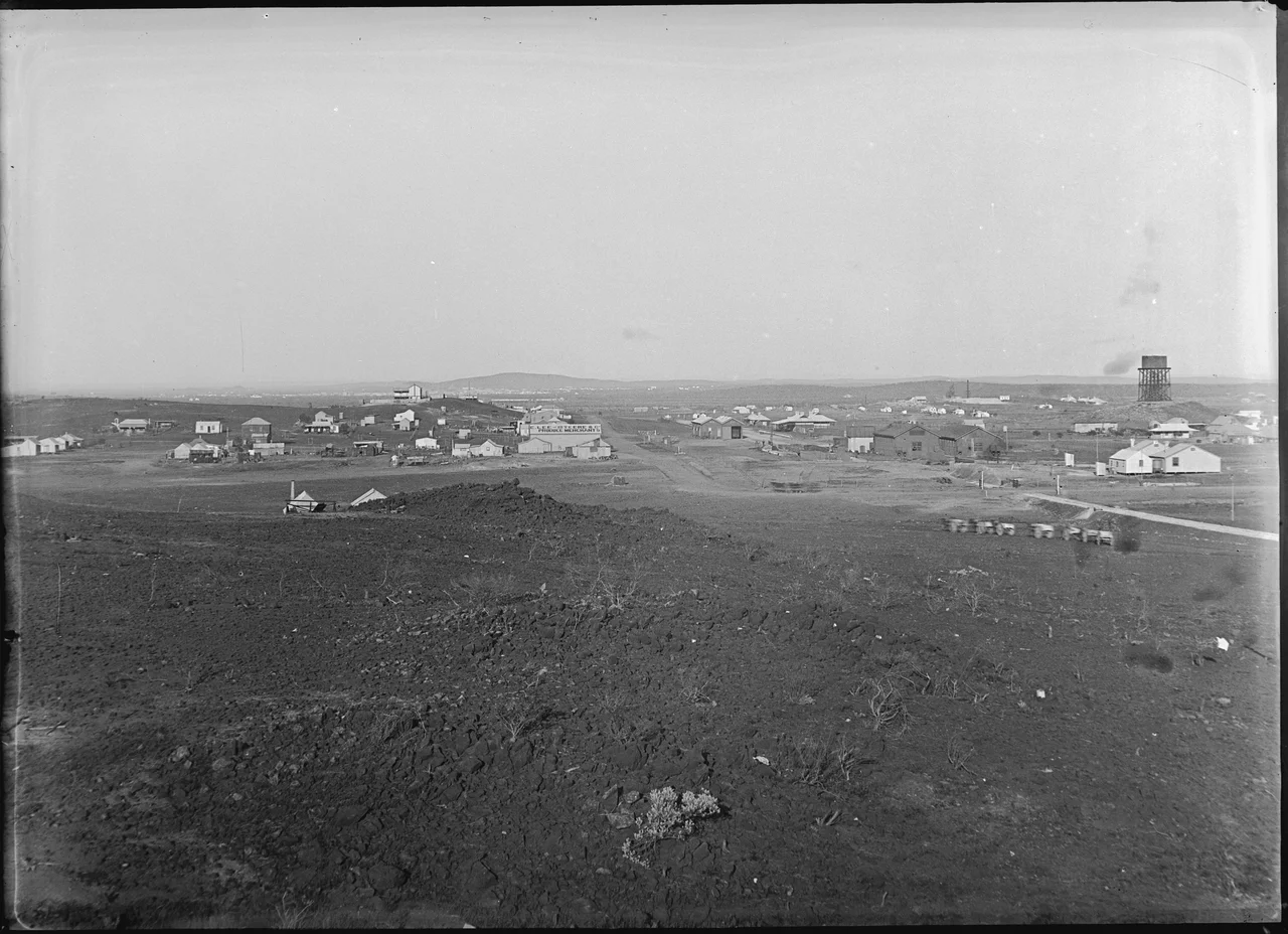

Nannine, Western Australia
Long before anyone here thought about gold, the Wajarri people knew this place by the shape of a story written in the land. In the Dreaming, they said, the great Dingo bit a piece from an Emu, and the trace of that act remained in a nearby cliff-face they called nganiny. The name that came down from it - Nannine, meaning 'fat' - was first recorded by a surveyor in 1889, a year before prospectors arrived. Then gold was found, and for a few decades Nannine was the first and largest town on the Murchison goldfield, a place of hotels and railways and seven hundred eager men. Today it is a ghost town on the northern bank of Lake Annean, so thoroughly erased that its most prominent building no longer even stands here.
First on the Field
The discovery was murky from the start. By one account, station hands named Ingpen and Watts on the Annean pastoral run first suspected gold and, around May 1890, showed the site to a New South Wales mining engineer named Connolly - who found gold but seemed unimpressed. It took McPherson and Peterkin, directed to the same ground that October, to grasp what was there. By August 1891 the diggers had recovered some 1,700 ounces, and by December about seven hundred men had crowded onto the field. The Murchison Goldfield was proclaimed in September 1891, with Nannine at its heart. It was the first town in the entire region, the spark from which the whole goldfield caught fire.
A Town That Moved Itself
Nannine was born twice. The original settlement huddled in a gully between the later townsite and the mines, an unplanned sprawl of canvas and corrugated iron. In 1892, John Forrest - then Premier of Western Australia and the colony's first to hold that office - ordered lots surveyed and a proper townsite declared. When the miners heard the land auction would be held in distant Perth, eighty-five of them petitioned to move it to Geraldton, closer to home. The townsite was gazetted in April 1893, and over the next few years the businesses simply picked up and shifted to the official blocks - hotels, stores and all - a town relocating itself across open ground. By 1894 Nannine was large enough to hold its own electoral district.
Rails, Rain and Decline
For a while the future looked secure. A telegraph line reached Geraldton in 1894; a stone post and telegraph building rose in 1896; the railway from Cue arrived in 1903, with the line pushing north toward Meekatharra by 1909. The town had its hotels - the Pioneer, the Royal, the Victory with its renowned billiard table and twelve bedrooms - and the busy social machinery of a goldfields settlement. But the field could not hold. In 1913 ferocious rain dumped nearly two inches in a single day, flooding the railway and tearing a washaway north of town. The water passed; the decline did not. By 1919 Nannine was fading fast, its people drifting toward Meekatharra and the newer strikes beyond.
Carried Away
What becomes of a town that everyone leaves? At Nannine, much of it was simply carried off. The police station closed in 1922 and the building was hauled to Yalgoo. The Masonic Hall, built here around 1900, was dismantled and transported to Meekatharra as the town faded - and there it still stands, on the corner of Savage and Darlot Streets, a timber-framed, iron-clad relic of "Federation Gothic" style that the heritage register calls a distinctive if forlorn reminder of times long past. That hall is, in a sense, the truest monument Nannine has: not a ruin on the original site, but a building that outlived its town by leaving it. On the shore of Lake Annean, where the first Murchison gold town once stood, there is now mostly silence and salt.
From the Air
Nannine sits at 26.89°S, 118.34°E on the northern bank of Lake Annean, a salt lake in the Mid West of Western Australia about 35 km south-southwest of Meekatharra and 735 km north-northeast of Perth. From the air the pale, often dry expanse of Lake Annean is the dominant landmark; the town itself has all but vanished, so look for the lake's edge and the faint geometry of old workings rather than buildings. The nearest airfield is Meekatharra Airport (YMEK), a Royal Flying Doctor Service base just to the north; Cue and Mount Magnet lie further south along the goldfields corridor. Dry-season visibility is superb across this flat country, but it is remote and underserved - plan fuel and diversions carefully, and watch for summer dust reducing the horizon.
Nearby Stories
- Wilgie Mia 22 km away
- Big Bell, Western Australia 32 km away
- Yarrabubba 48 km away
- Mileura Station 51 km away
- Wiluna Railway Line 52 km away
- Karalundi Community 60 km away
- Murchison River 75 km away
- Sandstone, Western Australia 112 km away