
Ninety Six, South Carolina
The name is the puzzle. Ninety Six. A town of about 2,096 people in the South Carolina Piedmont, with no apparent connection to the number except that traders from Charleston who pushed up the Cherokee Path centuries ago wrote "96" on their maps somewhere near this spot. The most enduring theory is that the count refers to six creeks running south from the Saluda River and nine running south from the Savannah - landmarks the traders noted as they reckoned distance. Another theory pointed to a count of 96 miles from the Cherokee town of Keowee, but that estimate has been proven false. The Welsh expression nant-sych, meaning "dry gulch," has been offered too. Nobody knows. The name has been a mystery since long before South Carolina was a state.
The Cherokee Path
By the early 1700s, the settlement at Ninety Six was a well-known trading post on the route from Charleston into Cherokee country. The trade was deerskins - millions of them, processed and shipped to European markets. The traders kept maps and shared information about creek crossings, terrain, and the distances to Cherokee towns along the upper Savannah. The settlement is thought to have been founded around 1730, when the Salvador and DaCosta families purchased some 200,000 acres with the intention of helping poor Sephardic Jewish families relocate from London. By 1769 the town had become the seat of the Ninety Six District. Francis Salvador, a Sephardic Jewish immigrant from London and a planter at Ninety Six, was elected to South Carolina's Provincial Congress in 1774 - the first Jew elected to public office in the colonies. In 1776, fighting alongside Patriot militia against Loyalists and their Cherokee allies, he was killed, becoming the first Jew to die in the American Revolution.
The Siege of 1781
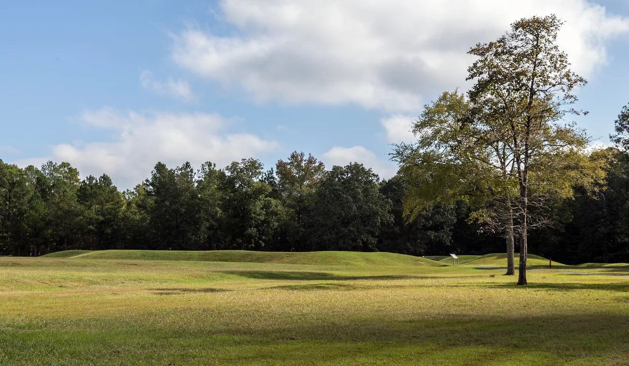
Ninety Six saw the first land battle of the Revolution south of New England - November 19-21, 1775, when Loyalists and Patriots fought a brief, bloody engagement near the trading post. But the battle the town is best known for came six years later. From May 22 to June 19, 1781, Patriot General Nathanael Greene laid siege to the British-held fortifications at Ninety Six for twenty-eight days. It was the longest siege of the war. Patriots dug zigzag trenches toward the British Star Fort - the earthen redoubt whose distinctive shape still defines the battlefield - and tunneled mines beneath the walls. A British relief column under Lord Rawdon was marching from Charleston, and Greene was forced to attempt a final assault on June 18. It failed. Greene withdrew. Ninety Six is now preserved as Ninety Six National Historic Site, two miles south of town, where visitors walk the trenches and stand inside the reconstructed Star Fort itself.
Mills, Decline, Revival
In the 1840s the local economy shifted from small self-sufficient farms to the commercial cultivation of cotton, dependent on enslaved labor. After the Civil War, textile mills rose along the area's creeks - the Ninety-Six Mill among them - and mill villages were built to house workers. The village incorporated as the Town of Ninety Six on May 27, 1905. Through the early twentieth century, segregated education was provided at the Ninety Six Colored School, which served both elementary and high school students until its closure in 1956. The Southern Railway built a station here in 1915 to serve passenger and cargo trains. When the mills closed in the late twentieth century and the work moved offshore, Ninety Six's downtown emptied. In 2007 the town partnered with Clemson University and a Historic 96 Development Association to launch a revitalization initiative - new lampposts, restored sidewalks, the Ninety Six Depot rebuilt and added to the National Register in 2011. The annual Festival of Stars, started in 2008, draws crowds every July for fireworks and live music.
The Trail and the Star Fort
The Ninety Six Trail follows roughly 1.3 miles of the old Southern Railway corridor through town, passing Revolutionary-era markers. Lake Greenwood State Park is five miles northeast; the Ninety Six National Historic Site is two miles south of town center. The Star Fort battlefield itself draws history travelers from across the country, who walk the trenches Greene's men dug and look out from the British redoubt. The trading-post origin, the Sephardic land grant, the longest siege of the Revolution, the Cherokee Path, the textile mills, the empty depot, the revitalized Main Street - they all share the same patch of South Carolina piedmont, all attached to a name nobody can fully explain.
From the Air
Ninety Six sits at 34.173 N, 82.022 W in eastern Greenwood County, South Carolina. Cruise at 2,500 to 4,000 feet for a clear view of the town, the Star Fort earthworks two miles south, and Lake Greenwood five miles northeast. Nearest field is KGRD (Greenwood County) at about 8 nm west-southwest; KAND (Anderson Regional) is 35 nm north-northwest, KGMU (Greenville Downtown) 45 nm north, KCAE (Columbia Metropolitan) 55 nm east. Visual landmarks: the distinctive eight-pointed earthwork of the Star Fort at Ninety Six National Historic Site, the fingered shoreline of Lake Greenwood to the northeast, the SC 34 corridor cutting east-west through downtown, and the wide green of the Sumter National Forest patches to the south.
Nearby Stories
- Battle of Lindley's Fort 2.7 km away
- Anderson, South Carolina 6.4 km away
- Liberty Universalist Church and Feasterville Academy Historic District 19 km away
- Edgefield County, South Carolina 21 km away
- Lake Murray (South Carolina) 26 km away
- Georgia Guidestones 26 km away
- Kettle Creek Battlefield 36 km away
- McEntire Joint National Guard Base 70 km away