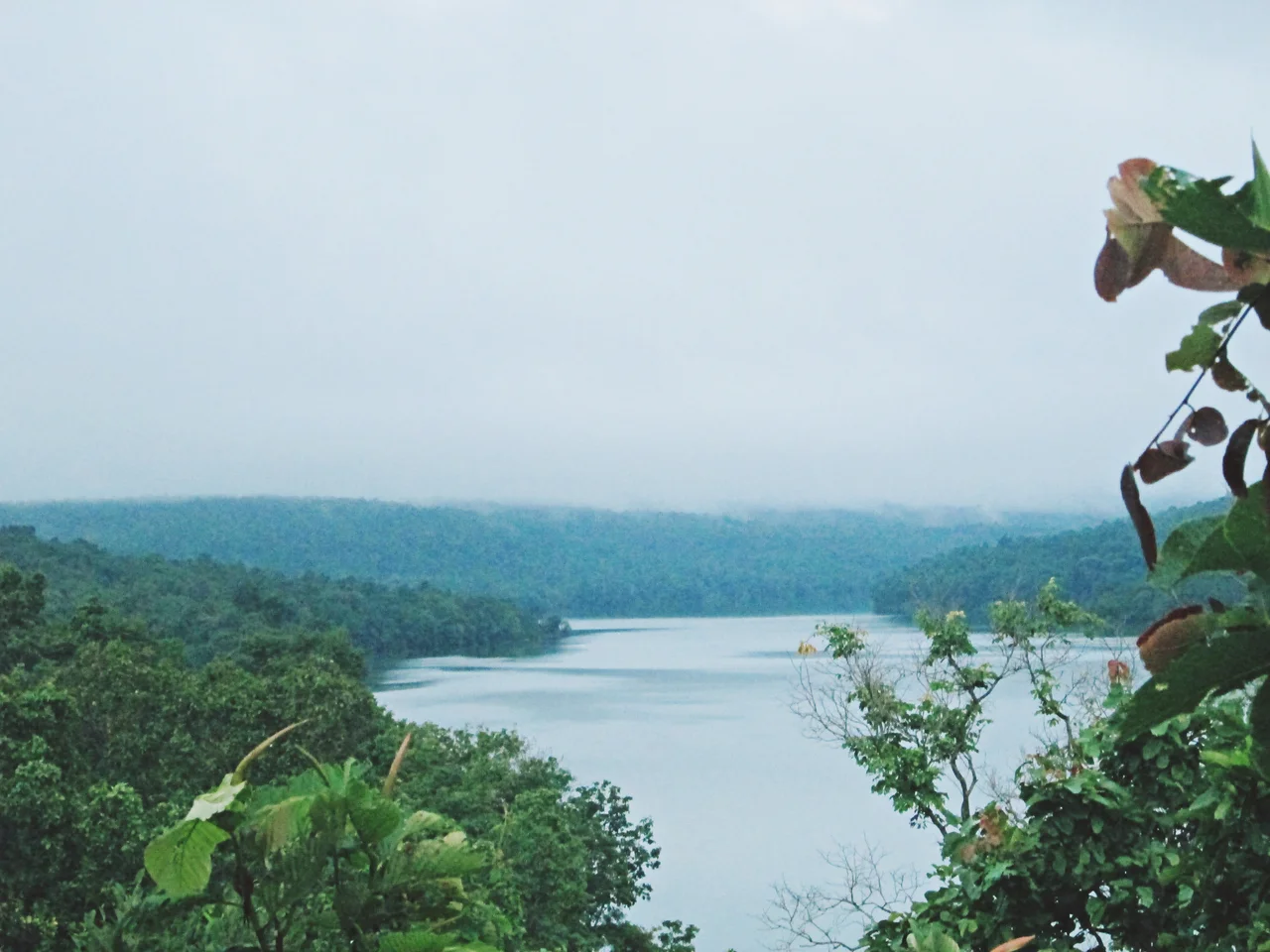

Phu Pha Yon National Park
Someone knelt on this sandstone at least three thousand years ago and started cutting. What they left is not a hunting scene or a herd of animals but geometry — lines, grids and repeating shapes worked into a cliff face on the southern edge of the Sakon Nakhon basin. Nobody has deciphered them. They were made long before anyone in this part of Thailand wrote anything down, by people whose language and names are gone, and the rock has carried them through something like a hundred generations of monsoon.
The Cliff That Renamed a Park
The Thai word yon means to behold, and pha is a cliff — Phu Pha Yon, the cliff you come to look at. For its first thirteen years the park did not carry that name at all. It was gazetted on 28 July 1988 as Huai Huat National Park, Thailand's fifty-seventh, taking its title from a reservoir tucked into the hills. On 22 January 2001 the park set the reservoir's name aside and took the cliff's instead. The carvings are the reason. They survive at Phu Pha Yon itself, sometimes called Pha Lai, the patterned rock, and in a scatter of shelters and caverns nearby — Tham Phra Dan Raeng, Hip Phu Pha Nang, Saowapa, Phra Wet. Sandstone is a generous medium for a person with a hard stone and time, and a merciless one for archaeologists trying to date the result.
A Plateau Made of Old Seabed
The park spreads across 828 square kilometres, or 517,850 rai in the measure Thai land documents still prefer, and it belongs to three provinces at once: Sakon Nakhon, Nakhon Phanom and Mukdahan. Headquarters sit in Tao Ngoi district. All of it rides the Phu Phan range, a spine of Early Cretaceous sandstone and siltstone that runs roughly 180 kilometres northwest to southeast and splits the Khorat Plateau into two separate drainage basins. Nothing here is alpine. The tableland holds between 300 and 600 metres, hemmed by steeper ground, and its real drama is horizontal — bare rock pavements, abrupt escarpments, streams that appear and vanish with the season. Nineteen reservoirs and water-storage works, Huai Huat among them, hold back what the sandstone will not.
Flowers That Eat
For most of the year the rock pavements look like nothing at all: grey stone, thin grit, a crust of lichen. Then the rains come, and within weeks the same slabs turn purple and white and gold. The plants doing this are not ordinary wildflowers. Bladderworts of the genus Utricularia and sundews of the genus Drosera dominate the display, and both are carnivores — bladderworts snapping tiny prey into underwater traps, sundews gluing insects to stalked droplets that glitter like dew and are not. They grow here precisely because the rock offers them almost no nutrients. What the sandstone withholds, they take from the air. Osbeckia and other herbs crowd in alongside, all of them flowering at once in a season that lasts a few short weeks and then closes.
The Forest Behind the Rock
Away from the open pavements the park carries deciduous and dry dipterocarp forest, the workhorse woodland of the Khorat Plateau — trees that shed their leaves through the dry months and burn easily, then green again with astonishing speed. Barking deer and sambar move through it. Wild boar root the margins. Dhole, the russet pack-hunting wild dog now scarce across most of its old range in Asia, still hunt here, and birdlife is abundant enough that the quiet visitor rarely goes long without something calling. Several of the district's working watercourses begin in these hills, which is a large part of why the forest was protected in the first place: downstream, this is where the water comes from.
Twenty Baht at the Gate
Phu Pha Yon is not a park that has been polished for foreign visitors, and the experience is better for it. Entry runs twenty baht for a Thai adult and a hundred for a foreign one, with small charges for a motorbike or a car. There is a campsite, gear for rent, a shop and a place to eat, and very little else between you and the escarpment. Come in the rains and you get the flowers, the waterfalls and the mud. Come in the dry months and you get long views across three provinces from a rock ledge someone else was standing on three thousand years earlier, doing the same thing you are — looking.
From the Air
Phu Pha Yon National Park centres on roughly 16.98°N, 104.07°E, straddling the Sakon Nakhon, Nakhon Phanom and Mukdahan provincial boundaries in northeastern Thailand. The terrain is a sandstone tableland at 300–600 m AMSL within the Phu Phan range; 4,500–6,500 ft AGL gives the best read on the escarpments and open rock pavements. Navigationally, the Phu Phan ridge line runs northwest to southeast and separates the Sakon Nakhon basin to the north from the lower Khorat basin to the south — Nong Han lake glints to the north-northwest, and the Mekong marks the Lao border some 60 km east. Nearest fields are Sakon Nakhon (VTUI) about 40 km north and Nakhon Phanom (VTUW) to the northeast; Udon Thani (VTUD) is the nearest larger airport. Expect haze and smoke from agricultural burning in February through April, towering convection and heavy afternoon rain from May to October, and the clearest air in November and December.
Nearby Stories
- Tha Rae 6.5 km away
- Thakhek 20 km away
- Nakhon Phanom 49 km away
- Ban Chiang 52 km away
- Second Thai–Lao Friendship Bridge 54 km away
- Phu Sa Dok Bua National Park 55 km away
- Vientiane 161 km away
- Si Thep Historical Park 306 km away