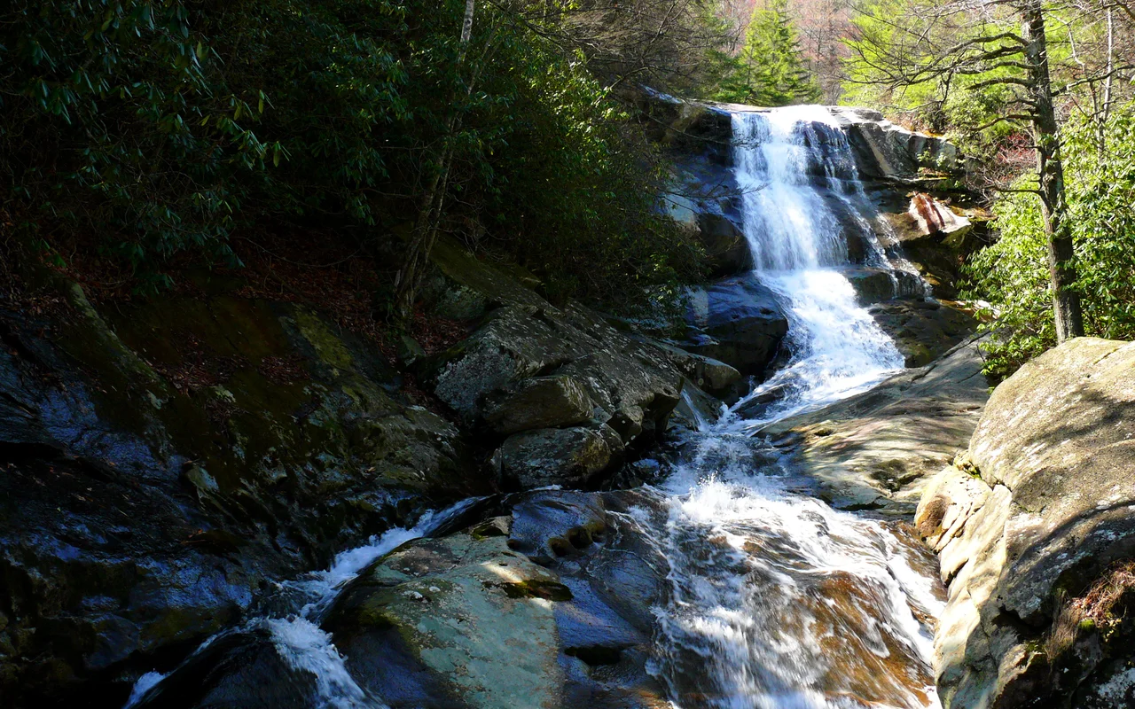

Pisgah National Forest
American forestry began here, in a German immigrant's classroom under the chestnut canopy. In 1898 Carl Schenck started the Biltmore Forest School on land George Washington Vanderbilt II had hired him to manage - the first school of forestry in the United States. Vanderbilt's widow Edith sold 86,700 acres of that experimental forest to the federal government in 1914 for fifteen dollars an acre. Two years later Pisgah National Forest was born, one of the first national forests east of the Mississippi. The half-million acres of mountain rainforest you see today grew from a Gilded Age estate and a piece of legislation called the Weeks Act.
The Cradle
Schenck was a 27-year-old forester from the German Black Forest when Vanderbilt brought him to Biltmore in 1895 to replace Gifford Pinchot. He taught timber cruising, fire control, and selective harvesting at a time when most American foresters did not yet exist as a profession. His school ran from 1898 until 1909, training men who would later staff the new U.S. Forest Service. The Cradle of Forestry National Historic Site preserves the cabins, classrooms, and demonstration tracts. The Weeks Act of 1911 finally let the federal government buy private land for national forests in the East. Pisgah's tracts were among the first acquired, formally established as a national forest on October 17, 1916.
A Hebrew Name in the Blue Ridge
The word Pisgah is biblical Hebrew - it means summit, or by extension, the peak of an achievement. Some translators of Deuteronomy used it as a place name for the mountain from which Moses saw the Promised Land. Early Scots-Irish settlers in these valleys, reading their King James Bibles by candlelight, looked at the highest peak in sight and gave it the name they recognized. The mountain stuck. The forest, the ridge, the ranger district, the unincorporated community at the gate - all of them inherited a word that originally meant the view from the top.
High Country
Pisgah covers 512,758 acres across twelve counties, climbing over 6,000 feet on summits like Black Balsam Knob (6,214 ft), Mount Hardy (6,110 ft), Tennant Mountain (6,056 ft), and Cold Mountain (6,030 ft) - the peak Charles Frazier made famous in his 1997 novel. Mount Mitchell, the highest summit east of the Mississippi at 6,684 feet, rises just outside the forest boundary in its own state park. The terrain is wetter than most of the eastern United States. Pisgah is part of the Appalachian temperate rainforest, one of only a handful of temperate rainforests on Earth, soaked by the moisture that ocean air dumps when it hits the Blue Ridge wall.
Three Wildernesses
The forest divides into the Pisgah, Appalachian, and Grandfather Ranger Districts, headquartered in Pisgah Forest, Mars Hill, and Nebo respectively. Three federally designated wilderness areas sit inside its boundaries. Linville Gorge, the deepest gorge in the eastern United States, holds 10,000 acres of old growth among its 12,000 protected acres. Middle Prong and Shining Rock occupy the high country south of Asheville, where the Art Loeb Trail and Mountains-to-Sea Trail cross balds and spruce-fir forests. In total roughly 46,600 acres of old-growth forest survive within Pisgah - rare in the East, where the chestnut blight, logging booms, and farm clearance erased most of it.
The Parkway and the Falls
The Blue Ridge Parkway cuts straight through the Pisgah Ranger District, threading between the Pisgah Ridge and Balsam Mountains south of Asheville. Looking Glass Falls drops 60 feet in a sheer white sheet visible from the road. Sliding Rock turns a flat section of stream into a natural water slide each summer. The French Broad, Davidson, and Mills Rivers gather snowmelt and storm runoff from these ridges and carry it north and west. Bent Creek, the experimental forest just below Asheville, has been on the National Register of Historic Places since 1993 - a living archive of forestry science, still adding rings to its data.
From the Air
Pisgah spans 35.36N, 82.793W and roughly 100 miles of ridge country. Terrain rises sharply to 6,000+ ft peaks; expect rapid weather changes, orographic clouds, and severe icing risk in winter. Asheville Regional (KAVL) is the primary gateway airport at the forest's northeastern edge; Hickory Regional (KHKY) lies northeast, Greenville-Spartanburg (KGSP) southeast. The Blue Ridge Parkway is the most prominent visual feature from altitude, snaking along the ridgeline.
Nearby Stories
- Black Mountains (North Carolina) 9 km away
- Caesars Head State Park 18 km away
- Great Smoky Mountains National Park 23 km away
- Arrowhead Monument 25 km away
- The Titanic Museum: The Ship That Docked in Tennessee 27 km away
- Camp Wadsworth 35 km away
- North Carolina Mountains 45 km away
- Dahlonega, Georgia 92 km away