.jpg)
Pocomoke City, Maryland
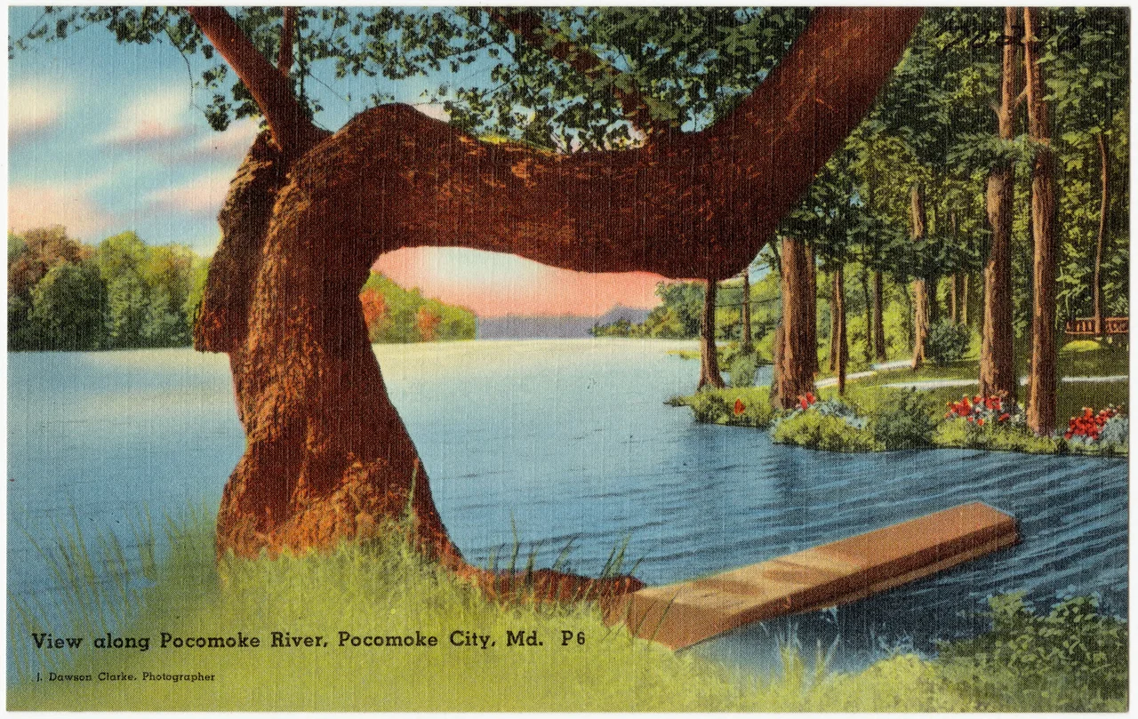
Pocomoke means black water in the language of the Algonquian people who lived here before the English came. The river that gave the town its name still runs dark with tannins from the cypress swamps upstream, the same color as strong tea. The town stuck with the English name Newtown until 1878, when in a burst of civic enthusiasm the council reincorporated under the older Native word. They were trying to sound less generic. The black water flowed on either way.
From Stevens Ferry to a Railroad Town
A ferry crossed the Pocomoke at this spot starting in the late seventeenth century. The settlement around it was called Stevens Landing, then Stevens Ferry, then in 1865 it was incorporated as Newtown. The town stayed small until the 1880s, when the trunk railroad line came through. The line ran the length of the Delmarva Peninsula, from Wilmington at the top to Cape Charles at the very tip, where it met ferries crossing the mouth of the Chesapeake. Eventually it became part of the Pennsylvania Railroad. The trains brought lumber milling, shipbuilding, and the canneries that processed the truck crops the surrounding farmers grew. Pocomoke City made wooden barrels and bushel baskets for those crops, then canned the contents. In 1922 a fire wiped out the business district. It reached as far as St. Mary's Episcopal Church on Third Street and stopped there. The downtown rebuilt within a few years, which is why so many of the storefronts on Market Street still wear early 1920s brickwork.
The MarVa Theater and the Discovery Museum
The MarVa Theater opened in 1927, an Art Deco auditorium known among acoustic engineers for the unusually clean sound it threw to the back rows. The marquee carries vertical letters spelling MARVA - a combination of Maryland and Virginia, the two states whose shorelines the theater straddled in its mission. For decades the MarVa screened films and hosted touring shows. After a long decline it has been undergoing restoration as a regional performing arts center, recovering the velvet seats and gold-leaf detailing that once made small-town vaudeville feel like a downtown night. A few blocks away, the Delmarva Discovery Museum on Market Street runs interactive exhibits on the ecology and history of the lower shore, including a 6,000-gallon aquarium with otters, sturgeon, and the gar fish that haunt the river. The Isaac Costen House Museum, a Victorian home built in 1870, preserves the look of the river town when the railroad was new and the lumber money was good.
The Lynchings of 1906 and 1933
The friendliness in the town's nickname has limits and a history. On June 14, 1906, a farmhand named Edd Watson was murdered by a mob in Pocomoke City. Twenty-seven years later, in October 1933, George Armwood - a Black man from Pocomoke City who had been accused of assault - was dragged from a jail cell in nearby Princess Anne by a mob of around two thousand people. They hanged him, dragged his body through town, and burned it on the lawn of the courthouse. Armwood's killing is recorded as the last documented lynching in Maryland history. The mob included people whose names later residents recognized; none of them were ever convicted. The killing prompted Governor Albert Ritchie to send the National Guard to the Eastern Shore, but it also exposed how isolated the lower shore was from the urban Maryland that wanted to call itself a Northern state. Armwood was a real person - a farmhand, a mother's son, twenty-two years old. The friendliness in the slogan does not extend to him.
The Firing of Kelvin Sewell
In 2015, the town fired Kelvin Sewell, its first Black police chief. The dismissal came without public explanation. Sewell joined two of his former officers, Lieutenant Lynell Green and Detective Franklin Savage, in a federal lawsuit alleging rampant racial discrimination and retaliation by city, county, and state officials. The case drew national attention. In 2019 it became the subject of a documentary called The Friendliest Town, which interviewed Sewell, Green, Savage, and current and former residents about the policing of the town. Pocomoke City settled the Sewell and Green lawsuits that same year and entered a consent decree requiring it to reform its policies and procedures around policing. The documentary's title was sincere. So was its irony. A town can be friendly to most of the people who live in it and still mistreat the others, and the history of Pocomoke City is a story of working out which group is which.
Black Water and Wallops Island
The Pocomoke River winds south from Pocomoke City through cypress swamps and into Pocomoke Sound, then on into the Chesapeake. The town sits about 4 nautical miles west of the Virginia state line and about 12 nautical miles north-northwest of the NASA Wallops Flight Facility on Wallops Island, where rockets carry experimental payloads to the International Space Station and small satellites into orbit. The industrial park at the edge of town now hosts defense contractors and aerospace engineering firms - the truck-farm baskets long since gone, the canneries silent. The 2020 census counted 4,295 residents, almost evenly split between white and Black; the town is more diverse than the surrounding county. The poultry industry, which replaced truck farming, still ships chicken from processing plants here. The river still runs black. The town still calls itself friendly and is still working on what the word ought to mean.
From the Air
Pocomoke City lies at 38.07 degrees north, 75.56 degrees west, on the south bank of the Pocomoke River just inside the Maryland line. From the air the town shows as a compact grid pressed against the river meander, with the high bridge of US-13 crossing immediately to the east. Salisbury Regional (KSBY) is about 16 nautical miles north; Wallops Flight Facility (KWAL) is 12 south-southeast and operates with active rocket-launch airspace restrictions when launches are scheduled. Ocean City Municipal (KOXB) is about 21 east. Pattern altitudes of 1,500 feet AGL show the cypress swamps to the west and the marsh edges to the south. Watch for low cloud in summer and migratory waterfowl in fall.
Nearby Stories
- Smith Island, Maryland 12 km away
- Arthur W. Perdue Stadium 12 km away
- USS Texas (1892) 15 km away
- SS Marine Electric 22 km away
- Harriet Tubman Underground Railroad 22 km away
- Debtors' Prison (Accomac, Virginia) 24 km away
- USS Jacob Jones (DD-130) 45 km away
- SMS Ostfriesland 77 km away