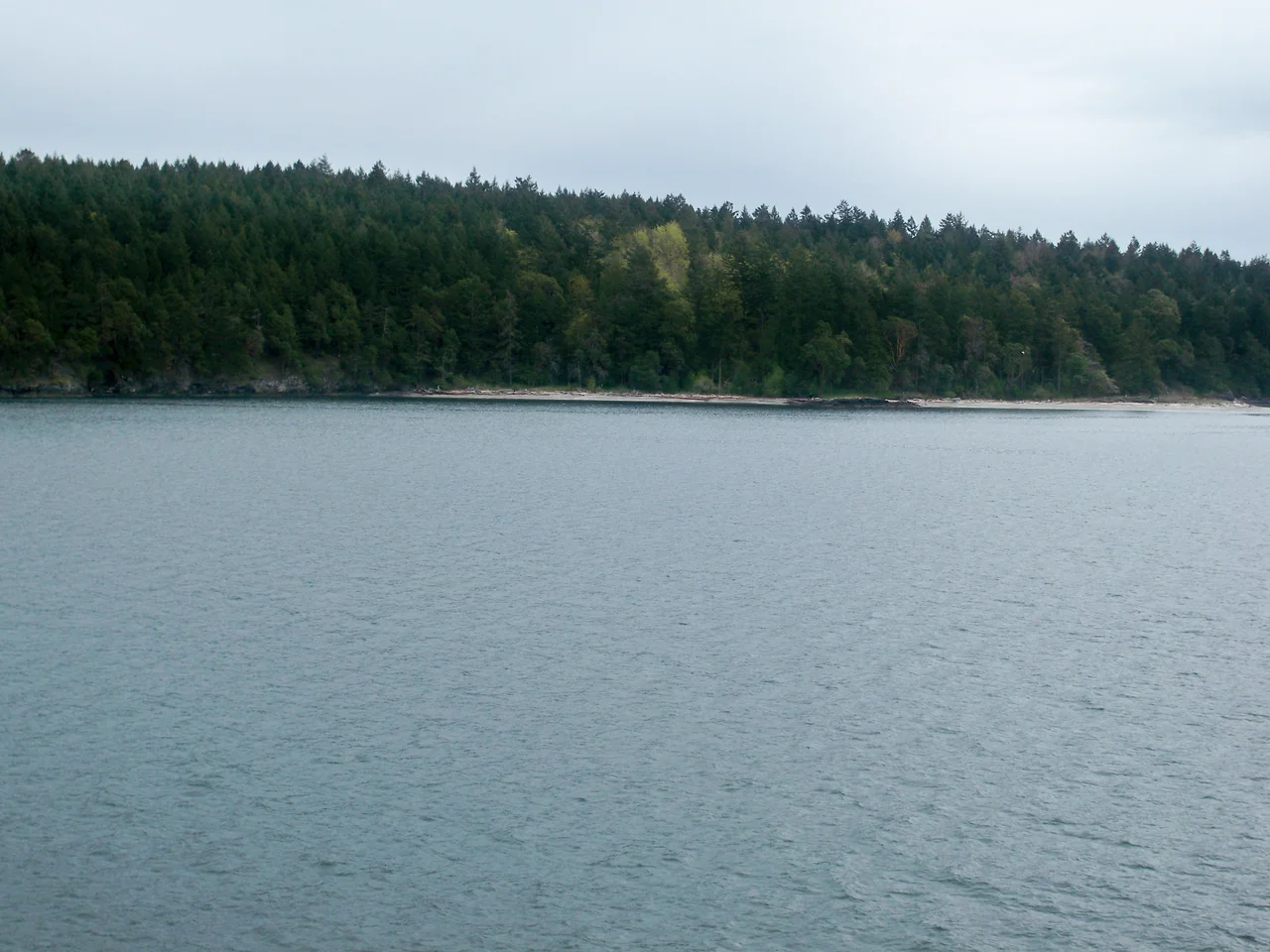

Portland Island (British Columbia)
In 1958 the province of British Columbia gave a princess an island. Princess Margaret had come out for a royal tour, and rather than a plaque or a scroll the government handed her Portland Island - a whole island of arbutus, Douglas-fir and rock in the Salish Sea, beaches included. What a person does with an island on the far side of the world is not obvious, and nine years later she handed it back, on the understanding that it become a park. It did. Today Portland Island lies inside Gulf Islands National Park Reserve, close enough to the main ferry route that thousands of people look at it every day from the deck of a vessel bound for Swartz Bay, and reachable by none of them.
A Fleet Written on the Water
The names around here all come from the same decade and the same squadron. Portland Island is named for HMS Portland, flagship of Rear-Admiral Fairfax Moresby, Commander in Chief of the Royal Navy's Pacific Station from 1850 to 1853. The admiral himself got the island to the east - Moresby Island - and the water between them is Moresby Passage. Swanson Passage runs northeast toward North Pender Island, Shute Passage southeast past Piers and Coal Islands, and Satellite Channel separates the whole arrangement from Saltspring Island to the north and west. Read a chart of the southern Gulf Islands and you are essentially reading a naval list from the middle of the nineteenth century, laid out across water that had been named in other languages for several thousand years.
The Village Under the Beach
Because there were other names, and other people. Midden deposits on Portland Island mark a long-abandoned First Nation village: layers of shell, charcoal and fire-cracked rock built up season after season on a shoreline that offered everything a settlement needs. Middens are patient evidence. They accumulate too slowly to be the work of a visit or a season, and their depth is a direct measure of how long people ate well in one place. The village site is gone as a village. What remains is the ground itself, and the knowledge that one of the emptiest places in the southern Gulf Islands was, for a very long time, one of the busiest.
Princess Bay, Royal Cove, Shell Beach
Portland Island is reachable only by private boat or marine charter, and its anchorages carry the names the royal gift left behind. There are dinghy docks at Princess Bay and Royal Cove and a stern-tie ring at Princess Bay; paddlers land on the beaches at Princess Bay, Arbutus Point and Shell Beach. Camping is spare and marine-access-only: twenty-four backcountry sites in total, twelve at Princess Bay, six at Shell Beach and six at Arbutus Point. Facilities amount to pit toilets. Campfires are not permitted, which on a dry summer island covered in arbutus and grass is less a rule than a structural necessity.
Six and a Half Kilometres Around
A loop trail follows the shoreline the whole way around the island - 6.5 kilometres, about three hours at a reasonable pace, accessible from any of the three campsites. Cross-island forest trails cut the circuit down to roughly an hour for anyone who wants the shape of the place without the full perimeter, though the perimeter is the point. The walk moves constantly between shaded second-growth forest and open bluff, with the Salish Sea appearing and disappearing through the trees. There is also an artificial reef offshore, laid down during the island's years as Princess Margaret Marine Park and still dived today. Gulf Islands National Park Reserve, announced on 9 May 2003, now covers 36 square kilometres spread across sixteen islands, of which this is one - a park assembled out of fragments, which is what was left to protect.
From the Air
Portland Island lies at 48.7261 N, 123.3731 W in the Salish Sea, between the Saanich Peninsula and Saltspring Island. Recommended viewing altitude is 2,000-4,000 ft AGL. The island is easy to find because the busiest piece of marine infrastructure in the region sits right beside it: the Swartz Bay ferry terminal at the tip of the Saanich Peninsula, about 3 km south, with its long piers and constant traffic. Saltspring Island fills the view to the north and west across Satellite Channel; Moresby Island lies immediately east, with Piers and Coal Islands to the southeast and North Pender beyond. The island itself reads as a rounded, forested landmass with two obvious bites taken out of it - Princess Bay on the south side and Royal Cove on the north - and pale shell beaches at the water's edge. Nearest airports: CYYJ (Victoria International) about 12 km south, CYWH (Victoria Harbour water aerodrome) about 30 km south, and CYVR (Vancouver International) about 55 km northeast. Floatplane traffic between Vancouver and the Gulf Islands is heavy and low. Summer visibility is usually excellent; winter southeasters bring rain and low cloud through the channels.
Nearby Stories
- Northwest Indian College 6.2 km away
- Anacortes 6.2 km away
- George C. Reifel Migratory Bird Sanctuary 7.3 km away
- Paldi, British Columbia 7.7 km away
- Canadian Museum of Flight 8.1 km away
- Cadboro Bay 8.3 km away
- Cassidy, British Columbia 9.5 km away
- Otter Point, Greater Victoria 15 km away