,_Trans_Access_Road_--_2019_--_0577.jpg)
Rawlinna, Western Australia
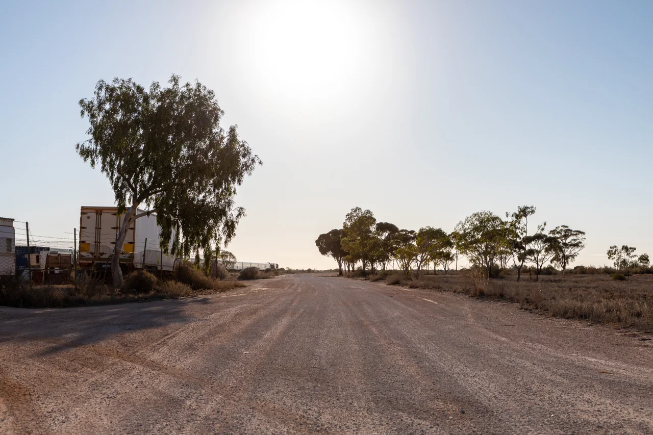
Thirty-three people. That is the entire population of the Rawlinna area, scattered across a corner of the Nullarbor Plain so flat and so empty that the railway crossing it does something no other railway on Earth manages: it runs perfectly straight for 478 kilometres. The track passes nearby without so much as a curve, a line so true that astronauts have picked it out from orbit, like a pencil mark drawn across the desert. Rawlinna sits beside it, 900 kilometres east of Perth and 350 kilometres short of the South Australian border, a cluster of about ten buildings holding their ground against a horizon that does not end.
A Line Drawn Across the World
The Trans-Australian Railway opened in 1917, stitching the young federation together from Port Augusta to Kalgoorlie. Crossing the Nullarbor, it achieves the longest length of dead-straight track anywhere on the planet, measured by GPS in 1990 at 478.193 kilometres, running from near Nurina, just east of Rawlinna, all the way to Ooldea in South Australia. In the age of steam, before diesel arrived in 1951, this was punishing country. Engines needed constant water, and the local supply was so poor that trains required frequent servicing. Rawlinna became one of just four major stations on the line, with workshops, a food store, a bakery, and a school whose pupils travelled to an annual sports day against the children of Cook and Tarcoola, hundreds of kilometres away.
The Largest Run in the Country
Adjoining the line is Rawlinna Station, the largest operating sheep station in Australia. It sprawls across more than a million hectares, roughly the area covered by greater Sydney, and in a good season it carries up to 65,000 Merino sheep. There is no gentle way to gather a flock spread across country this vast. Mustering begins in January, ahead of a ten-week shearing program, and it is done from motorbikes and aircraft, the pilots spotting sheep from above while riders drive them in. A single muster can mean moving animals up to 100 kilometres to reach the shearing shed at the Depot outstation. The geology shifts here too, from the red dirt of the goldfields to the pale limestone the Nullarbor is famous for.
The Loneliest Hole in Golf
Then there is the golf. Rawlinna hosts one hole of Nullarbor Links, billed as the longest golf course in the world. Its eighteen holes are strung across 1,365 kilometres of the Eyre Highway and the railway corridor, one to a roadhouse or settlement, from Kalgoorlie in the west to Ceduna in South Australia. The course opened in October 2009, hatched by two highway operators over a bottle of red wine at the Balladonia Roadhouse. Players buy a scorecard, get it stamped along the way, and drive between greens for days. Each hole offers a synthetic tee and green and a fairway of raw outback scrub. At Rawlinna, you tee off into one of the emptiest landscapes on Earth, the rough stretching to every horizon.
What the Trains Left Behind
Technology slowly emptied Rawlinna out. Concrete sleepers, welded rail, and mechanised maintenance removed the need for resident workers. Diesel trains, fast enough that crews no longer had to rest here, began stopping only to top up water in the passenger cars. When the whole Sydney-to-Perth line was converted to standard gauge in 1970, the passenger service was renamed the Indian Pacific, the name it still carries. The crews now overnight at Parkeston and Cook instead. About ten buildings remain, watched over by saltbush and bluebush and the occasional belt of myall trees. From here the Connie Sue Highway, a four-wheel-drive track, strikes 650 kilometres north into the desert toward the Aboriginal community of Warburton.
From the Air
Rawlinna lies at 31.00 degrees south, 125.33 degrees east, on the western Nullarbor Plain about 50 kilometres from its edge. The dominant visual feature for kilometres in every direction is the ruler-straight Trans-Australian Railway, which is genuinely visible from cruising altitude in clear air, and the vast cleared paddocks of Rawlinna Station. Forrest Airport (ICAO: YFRT) lies roughly 130 kilometres east along the rail corridor and is the nearest serviced aerodrome, with Avgas and Jet A1 fuel and two runways. Kalgoorlie-Boulder Airport (ICAO: YPKG) sits about 380 kilometres to the west. The terrain is dead flat at roughly 200 metres elevation; visibility is typically excellent, with summer afternoon temperatures near 38 degrees Celsius generating strong thermals over the pale plain. Recommended viewing altitude is 3,000 to 5,000 feet to trace the line of the railway against the saltbush.
Nearby Stories
- Arubiddy Station 58 km away
- Trans-Australian Railway 77 km away
- Readymix logo geoglyph 103 km away
- Balladonia, Western Australia 157 km away
- Forrest 175 km away
- Point Culver 209 km away
- Neale Junction 277 km away
- Cosmo Newbery 360 km away